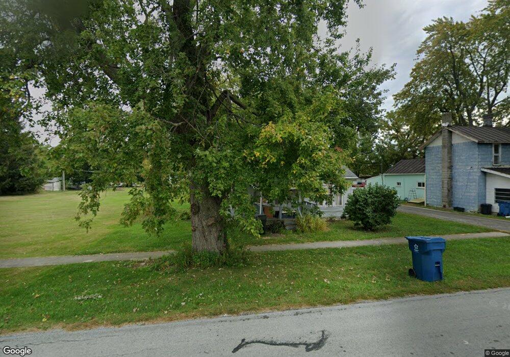
301 N Gormley St Forest, OH 45843
Estimated Value: $61,000 - $132,000
3
Beds
1
Bath
1,384
Sq Ft
$65/Sq Ft
Est. Value
About This Home
This home is located at 301 N Gormley St, Forest, OH 45843 and is currently estimated at $90,565, approximately $65 per square foot. 301 N Gormley St is a home located in Hardin County with nearby schools including Riverdale Middle School and Riverdale High School.
Ownership History
Date
Name
Owned For
Owner Type
Purchase Details
Closed on
May 21, 2018
Sold by
Calvin Charles
Bought by
Nelson Casey L and Nelson Kenneth R
Current Estimated Value
Purchase Details
Closed on
Oct 24, 2011
Sold by
Us Bank National Assn
Bought by
Calvin Charles
Purchase Details
Closed on
Aug 9, 2011
Sold by
Pfiester Thomas P
Bought by
Us Bank Na
Purchase Details
Closed on
Jun 6, 2005
Sold by
Croy James M and Croy Heidi K
Bought by
Pflester Thomas P and Pflester Rebecca A
Home Financials for this Owner
Home Financials are based on the most recent Mortgage that was taken out on this home.
Original Mortgage
$55,800
Interest Rate
10.25%
Mortgage Type
Adjustable Rate Mortgage/ARM
Purchase Details
Closed on
Nov 10, 1998
Bought by
Croy James M and Croy Heidi K
Purchase Details
Closed on
Jun 12, 1987
Create a Home Valuation Report for This Property
The Home Valuation Report is an in-depth analysis detailing your home's value as well as a comparison with similar homes in the area
Purchase History
| Date | Buyer | Sale Price | Title Company |
|---|---|---|---|
| Nelson Casey L | -- | None Available | |
| Calvin Charles | $11,000 | Landcastle Title Llc | |
| Us Bank Na | $6,000 | None Available | |
| Pflester Thomas P | $62,000 | -- | |
| Croy James M | $31,000 | -- | |
| -- | -- | -- |
Source: Public Records
Mortgage History
| Date | Status | Borrower | Loan Amount |
|---|---|---|---|
| Previous Owner | Pflester Thomas P | $55,800 |
Source: Public Records
Tax History
| Year | Tax Paid | Tax Assessment Tax Assessment Total Assessment is a certain percentage of the fair market value that is determined by local assessors to be the total taxable value of land and additions on the property. | Land | Improvement |
|---|---|---|---|---|
| 2024 | $511 | $15,330 | $1,400 | $13,930 |
| 2023 | $511 | $15,330 | $1,400 | $13,930 |
| 2022 | $571 | $15,080 | $1,290 | $13,790 |
| 2021 | $618 | $15,080 | $1,290 | $13,790 |
| 2020 | $620 | $15,080 | $1,290 | $13,790 |
| 2019 | $491 | $12,100 | $1,230 | $10,870 |
| 2018 | $471 | $12,100 | $1,230 | $10,870 |
| 2017 | $537 | $12,100 | $1,230 | $10,870 |
| 2016 | $586 | $15,220 | $1,440 | $13,780 |
| 2015 | $539 | $15,220 | $1,440 | $13,780 |
| 2014 | $553 | $15,220 | $1,440 | $13,780 |
| 2013 | $283 | $15,220 | $1,440 | $13,780 |
Source: Public Records
Map
Nearby Homes
- 402 E Lima St
- 0 S Patterson St
- 412 S Patterson St
- 0 S Davis St
- 406 Wells Rd
- 511 S Davis St
- 617 W Gage St
- 18660 County Road 20
- 0 Cr 215 Unit 11594771
- 0 Cr 215 Unit 11594600
- 0 Cr 215 Unit 25370311
- 0 Cr 215 Unit 11598074
- 3065 County Road 205
- 15047 Ohio 37
- 21426 County Road 17
- 162 N Main St
- 5091 County Road 175
- 20453 Township Road 187
- 4771 County Road 159
- 6497 County Highway 87
- 211 N Gormley St
- 209 N Gormley St
- 309 N Gormley St
- 313 N Gormley St
- 207 N Warner St
- 308 N Warner St
- 304 N Warner St
- 200 N Gormley St
- 102 E Gage St
- 317 Sandusky St
- 402 N Patterson St
- 306 N Patterson St
- 307 S Patterson St
- 406 N Patterson St
- 205 N Mary St
- 100 Railroad St
- 106 E Cleveland St
- 209 N Mary St
- 309 N Mary St
Your Personal Tour Guide
Ask me questions while you tour the home.