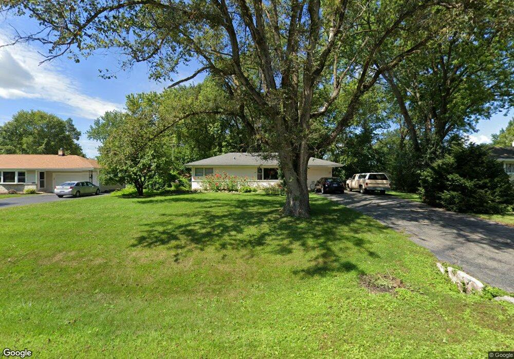
301 N Kent Rd McHenry, IL 60051
Estimated Value: $192,377 - $263,000
Studio
--
Bath
864
Sq Ft
$269/Sq Ft
Est. Value
About This Home
This home is located at 301 N Kent Rd, McHenry, IL 60051 and is currently estimated at $232,844, approximately $269 per square foot. 301 N Kent Rd is a home located in McHenry County with nearby schools including Hilltop Elementary School, Chauncey H Duker School, and Mchenry Middle School.
Ownership History
Date
Name
Owned For
Owner Type
Purchase Details
Closed on
Apr 22, 1998
Sold by
Doody Stephen A
Bought by
Doody Stephen A and Doody Lynne A
Current Estimated Value
Home Financials for this Owner
Home Financials are based on the most recent Mortgage that was taken out on this home.
Original Mortgage
$89,600
Outstanding Balance
$17,247
Interest Rate
7.26%
Estimated Equity
$215,597
Purchase Details
Closed on
Nov 30, 1994
Sold by
Nedli Barbara A and Pasternock Barbara A
Bought by
Doody Stephen A
Home Financials for this Owner
Home Financials are based on the most recent Mortgage that was taken out on this home.
Original Mortgage
$76,000
Interest Rate
8.91%
Create a Home Valuation Report for This Property
The Home Valuation Report is an in-depth analysis detailing your home's value as well as a comparison with similar homes in the area
Home Values in the Area
Average Home Value in this Area
Purchase History
| Date | Buyer | Sale Price | Title Company |
|---|---|---|---|
| Doody Stephen A | -- | First American Title | |
| Doody Stephen A | $95,000 | Universal Title Services Inc |
Source: Public Records
Mortgage History
| Date | Status | Borrower | Loan Amount |
|---|---|---|---|
| Open | Doody Stephen A | $89,600 | |
| Closed | Doody Stephen A | $76,000 |
Source: Public Records
Tax History
| Year | Tax Paid | Tax Assessment Tax Assessment Total Assessment is a certain percentage of the fair market value that is determined by local assessors to be the total taxable value of land and additions on the property. | Land | Improvement |
|---|---|---|---|---|
| 2024 | $1,135 | $68,354 | $11,840 | $56,514 |
| 2023 | $1,238 | $61,238 | $10,607 | $50,631 |
| 2022 | $3,908 | $56,812 | $9,840 | $46,972 |
| 2021 | $1,942 | $52,908 | $9,164 | $43,744 |
| 2020 | $1,963 | $50,702 | $8,782 | $41,920 |
| 2019 | $2,854 | $40,643 | $8,339 | $32,304 |
| 2018 | $3,039 | $34,336 | $7,045 | $27,291 |
| 2017 | $2,891 | $32,225 | $6,612 | $25,613 |
| 2016 | $2,762 | $30,116 | $6,179 | $23,937 |
| 2013 | -- | $28,618 | $6,083 | $22,535 |
Source: Public Records
Map
Nearby Homes
- 0000 Fairview Ave
- 4408 Gray Wolf Cir
- 3237 Jori Ln
- 3315 Jori Ln
- 3202 Jori Ln
- 4505 Gray Wolf Cir
- 3214 Jori Ln
- 3233 Jori Ln
- 3307 Jori Ln
- 209 Geneva Ln
- 803 East Blvd
- 707 Quinn Rd
- 514 Mineral Springs Dr
- 0 Rand Rd
- 132 Rand Rd
- 501 S Emerald Dr
- 515 Country Club Dr
- 814 N River Rd
- 1718 W Lincoln Rd
- 610 W Wegner Rd
Your Personal Tour Guide
Ask me questions while you tour the home.