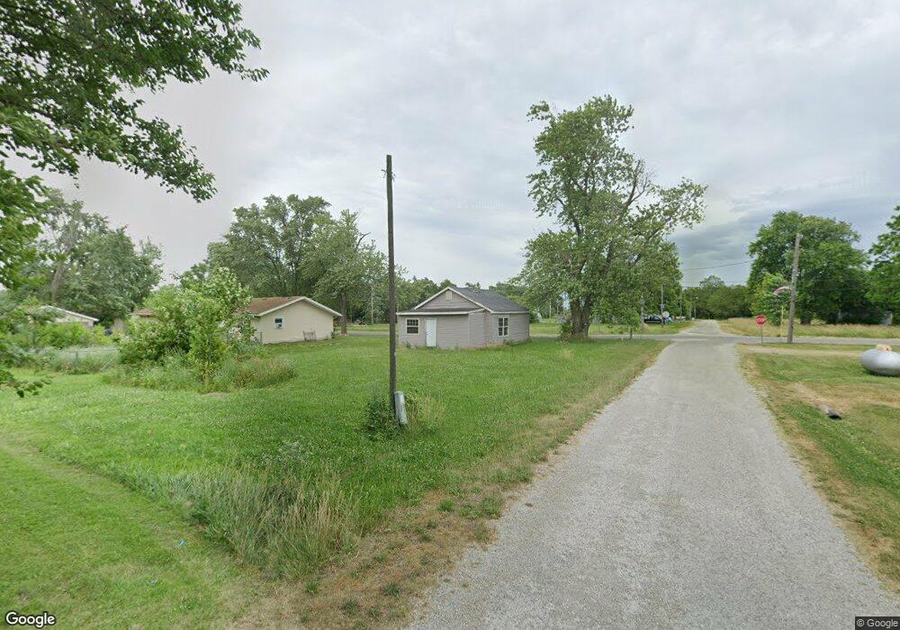
301 N Main St Sorento, IL 62086
Estimated Value: $46,889 - $68,000
3
Beds
1
Bath
671
Sq Ft
$83/Sq Ft
Est. Value
About This Home
This home is located at 301 N Main St, Sorento, IL 62086 and is currently estimated at $55,722, approximately $83 per square foot. 301 N Main St is a home located in Bond County with nearby schools including Bond County Community Unit 2 High School.
Ownership History
Date
Name
Owned For
Owner Type
Purchase Details
Closed on
Dec 20, 2022
Sold by
Under Trust
Bought by
Tracy Charles and Tracy Dawn
Current Estimated Value
Purchase Details
Closed on
Nov 2, 2022
Sold by
Bond County Clerk
Bought by
Bond County
Purchase Details
Closed on
Aug 30, 2019
Sold by
Brady Chris
Bought by
Daniels Jeffrey
Purchase Details
Closed on
May 22, 2013
Sold by
Pinkard C
Bought by
Brady Christopher A
Purchase Details
Closed on
Oct 21, 2010
Sold by
Adams Eva
Bought by
Bukovac Joseph R
Purchase Details
Closed on
Mar 29, 2007
Sold by
Green Marvin L and Green Michelle R
Bought by
Adams Eva
Create a Home Valuation Report for This Property
The Home Valuation Report is an in-depth analysis detailing your home's value as well as a comparison with similar homes in the area
Home Values in the Area
Average Home Value in this Area
Purchase History
| Date | Buyer | Sale Price | Title Company |
|---|---|---|---|
| Tracy Charles | -- | -- | |
| Bond County | -- | None Listed On Document | |
| Daniels Jeffrey | -- | None Available | |
| Brady Christopher A | $6,000 | -- | |
| Bukovac Joseph R | -- | -- | |
| Adams Eva | -- | -- |
Source: Public Records
Mortgage History
| Date | Status | Borrower | Loan Amount |
|---|---|---|---|
| Closed | Adams Eva | -- |
Source: Public Records
Tax History Compared to Growth
Tax History
| Year | Tax Paid | Tax Assessment Tax Assessment Total Assessment is a certain percentage of the fair market value that is determined by local assessors to be the total taxable value of land and additions on the property. | Land | Improvement |
|---|---|---|---|---|
| 2023 | $372 | $4,067 | $330 | $3,737 |
| 2022 | $0 | $3,844 | $312 | $3,532 |
| 2021 | $335 | $3,029 | $312 | $2,717 |
| 2020 | $338 | $3,029 | $312 | $2,717 |
| 2019 | $337 | $3,029 | $312 | $2,717 |
| 2018 | $335 | $3,029 | $312 | $2,717 |
| 2016 | $322 | $3,029 | $312 | $2,717 |
| 2015 | $213 | $3,029 | $312 | $2,717 |
| 2013 | $21 | $2,101 | $347 | $1,754 |
| 2011 | $196 | $2,101 | $347 | $1,754 |
Source: Public Records
Map
Nearby Homes
- 400 S Main St
- 498 Panama Ave
- XXX Elevator Rd
- 1401 Longbridge Trail
- 138 Main
- TBD Donnell Ave
- 201 E Fraction St
- 304 W Douglas St
- 413 N 6th St
- 812 W Douglas St
- 1050 Maple Grove Ave
- 7467 Walshville Trail
- 0 Hillsboro Rd Unit MIS25048857
- 0 Illinois 140
- 0 Joseph Dr Unit 23029649
- 1927 Jaketown Rd
- 500 Benton St
- 506 Garfield St
- 514 Putnam St
- 308 E Benton St