301 N Market St Brighton, IL 62012
Estimated Value: $124,949 - $203,000
--
Bed
--
Bath
--
Sq Ft
0.35
Acres
About This Home
This home is located at 301 N Market St, Brighton, IL 62012 and is currently estimated at $162,487. 301 N Market St is a home located in Macoupin County with nearby schools including Southwestern High School.
Ownership History
Date
Name
Owned For
Owner Type
Purchase Details
Closed on
Sep 12, 2014
Sold by
Sansone August J and Sansone Robin D
Bought by
Sansone Robin
Current Estimated Value
Home Financials for this Owner
Home Financials are based on the most recent Mortgage that was taken out on this home.
Original Mortgage
$95,746
Outstanding Balance
$74,262
Interest Rate
4.5%
Mortgage Type
FHA
Estimated Equity
$88,225
Purchase Details
Closed on
Apr 1, 2002
Bought by
Sansone Robin
Create a Home Valuation Report for This Property
The Home Valuation Report is an in-depth analysis detailing your home's value as well as a comparison with similar homes in the area
Home Values in the Area
Average Home Value in this Area
Purchase History
| Date | Buyer | Sale Price | Title Company |
|---|---|---|---|
| Sansone Robin | -- | Snp Title | |
| Sansone Robin | $90,000 | -- |
Source: Public Records
Mortgage History
| Date | Status | Borrower | Loan Amount |
|---|---|---|---|
| Open | Sansone Robin | $95,746 |
Source: Public Records
Tax History Compared to Growth
Tax History
| Year | Tax Paid | Tax Assessment Tax Assessment Total Assessment is a certain percentage of the fair market value that is determined by local assessors to be the total taxable value of land and additions on the property. | Land | Improvement |
|---|---|---|---|---|
| 2024 | $2,273 | $39,415 | $4,499 | $34,916 |
| 2023 | $2,191 | $36,496 | $4,166 | $32,330 |
| 2022 | $2,191 | $34,108 | $3,893 | $30,215 |
| 2021 | $2,021 | $37,876 | $3,638 | $34,238 |
| 2020 | $2,011 | $37,251 | $3,567 | $33,684 |
| 2019 | $1,938 | $29,482 | $3,365 | $26,117 |
| 2018 | $1,909 | $29,482 | $0 | $0 |
| 2017 | $1,841 | $27,657 | $3,157 | $24,500 |
| 2016 | $1,810 | $27,657 | $3,157 | $24,500 |
| 2015 | $1,855 | $27,657 | $3,157 | $24,500 |
| 2014 | $1,766 | $27,657 | $3,157 | $24,500 |
| 2013 | -- | $36,444 | $3,157 | $33,287 |
Source: Public Records
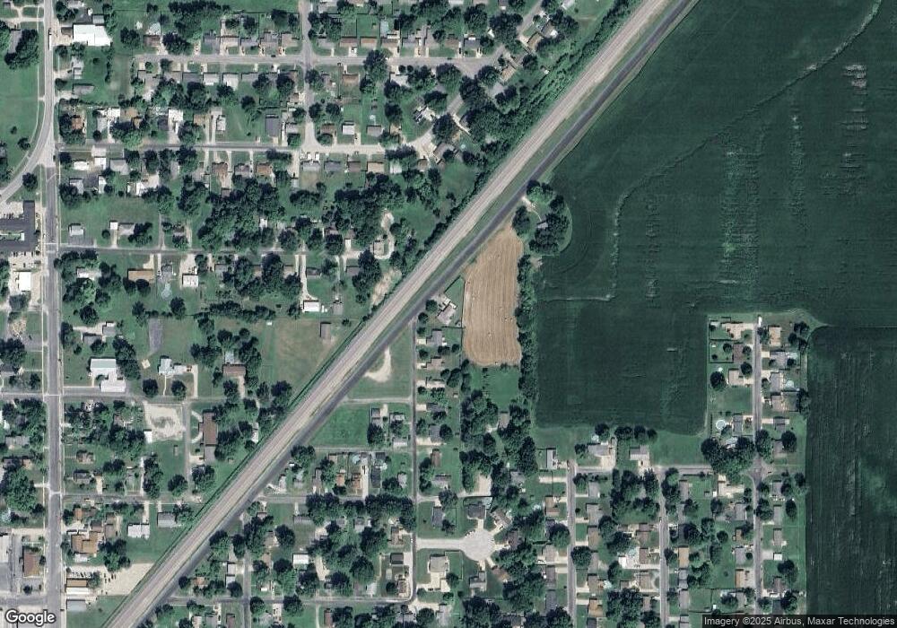
Map
Nearby Homes
- 515 Mobile St
- 120 E Center St
- 102 Avalon St
- 207 W Vine St
- 611 Brown St
- 212 North St
- 207 South St
- 619 S Main St
- 0 W County Line Rd Unit MAR25004991
- 0 W County Line Rd Unit MAR25004989
- 0 W County Line Rd Unit MAR25004981
- 0 W County Line Rd Unit Tract 2
- 1850 W County Line Rd
- 10 Austin Ct
- Tbd County Line Rd
- Tbd County Line Rd
- Tbd County Line Rd
- Tbd County Line Rd
- 0 Irish Ln
- 15315 Humbert Rd
- 409 Burlington St
- 401 Burlington St
- 130 Moore St
- 129 Moore St Unit A
- 129 Moore St Unit B
- 127 Moore St
- 123 N Market St
- 309 Burlington St
- 307 Burlington St
- 128 Moore St
- 122 E Vine St
- 310 Burlington St
- 214 Mulberry St
- 401 N Market St
- 211 Palmer St
- 126 Moore St
- 123 Moore St
- 305 Burlington St
- 209 Palmer St
- 301 Oak St