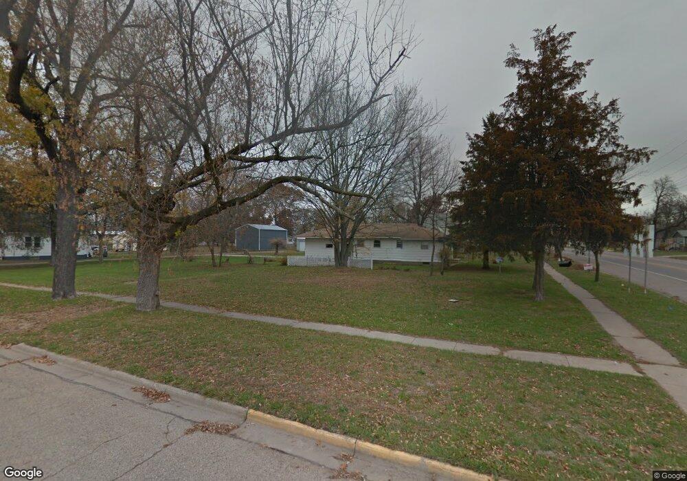
301 N Union St Mauston, WI 53948
Estimated Value: $192,000 - $255,000
--
Bed
--
Bath
--
Sq Ft
9,583
Sq Ft Lot
About This Home
This home is located at 301 N Union St, Mauston, WI 53948 and is currently estimated at $223,044. 301 N Union St is a home with nearby schools including West Side Elementary School, Lyndon Station Elementary School, and Grayside Elementary School.
Ownership History
Date
Name
Owned For
Owner Type
Purchase Details
Closed on
Aug 15, 2022
Sold by
D. Schuh Ethan and A. Brandis
Bought by
Augustus Renner Connor and Augustus L. Morgan
Current Estimated Value
Purchase Details
Closed on
Nov 3, 2014
Sold by
Habitat For Humanity Of Adams County Wi
Bought by
Deitz Brandis A
Purchase Details
Closed on
Mar 1, 2006
Sold by
Reinke Hompertz Family Limited Partnersh
Bought by
Hompertz Michael L
Create a Home Valuation Report for This Property
The Home Valuation Report is an in-depth analysis detailing your home's value as well as a comparison with similar homes in the area
Home Values in the Area
Average Home Value in this Area
Purchase History
| Date | Buyer | Sale Price | Title Company |
|---|---|---|---|
| Augustus Renner Connor | $217,000 | Richards-Bria Law Office | |
| Deitz Brandis A | $115,400 | -- | |
| Hompertz Michael L | $50,000 | -- |
Source: Public Records
Tax History Compared to Growth
Tax History
| Year | Tax Paid | Tax Assessment Tax Assessment Total Assessment is a certain percentage of the fair market value that is determined by local assessors to be the total taxable value of land and additions on the property. | Land | Improvement |
|---|---|---|---|---|
| 2024 | $4,659 | $199,400 | $12,700 | $186,700 |
| 2023 | $4,169 | $199,400 | $12,700 | $186,700 |
| 2022 | $4,143 | $199,400 | $12,700 | $186,700 |
| 2021 | $3,247 | $115,200 | $10,600 | $104,600 |
| 2020 | $3,129 | $112,100 | $10,600 | $101,500 |
| 2019 | $3,066 | $112,100 | $10,600 | $101,500 |
| 2018 | $2,984 | $112,100 | $10,600 | $101,500 |
| 2017 | $3,017 | $112,100 | $10,600 | $101,500 |
| 2016 | $3,050 | $112,100 | $10,600 | $101,500 |
| 2015 | $3,413 | $112,100 | $10,600 | $101,500 |
| 2014 | -- | $0 | $0 | $0 |
| 2013 | -- | $0 | $0 | $0 |
Source: Public Records
Map
Nearby Homes
- 0.3 acres Lincoln St
- 510 N Union St
- 1.6 acres Prospect and Lincoln St
- 0.53 acres Prospect Ave
- 12.35 AC Highway 58 Trunk
- 809 E State St
- 712 La Crosse St
- 825 E State St
- 314 W State St
- 0 Fleet St Unit 1978417
- 333 S Hickory St
- 506 W State St
- 511 Pine St
- 314 W St
- 515 Grove St
- 470 West Ave
- 5.12 Ac College Ave
- 813 S Hickory St
- L5 Buttner Ct
- 207 Highview Ave
- 315 N Union St
- 229 N Union St
- 415 W Monroe St
- 314 N Union St
- 227 N Union St
- 419 W Monroe St
- 319 N Union St
- 316 N Union St
- 220 N Union St
- 318 N Union St
- 420 W Monroe St
- 455 W Monroe St
- 408 E Monroe St
- 320 N Union St
- 218 N Union St
- 480 W Monroe St
- 417 E Monroe St
- 212 N Union St
- 481 W Monroe St
- 304 Colfax St