301 NE Curtis Dr Corbett, OR 97019
NEMCCA NeighborhoodEstimated Value: $798,000 - $950,877
3
Beds
3
Baths
2,958
Sq Ft
$296/Sq Ft
Est. Value
About This Home
This home is located at 301 NE Curtis Dr, Corbett, OR 97019 and is currently estimated at $874,439, approximately $295 per square foot. 301 NE Curtis Dr is a home with nearby schools including Corbett School.
Ownership History
Date
Name
Owned For
Owner Type
Purchase Details
Closed on
Sep 6, 2005
Sold by
Entrust Northwest Llc
Bought by
Lanter Michele D and Lanter Brandon D
Current Estimated Value
Home Financials for this Owner
Home Financials are based on the most recent Mortgage that was taken out on this home.
Original Mortgage
$370,468
Outstanding Balance
$223,690
Interest Rate
7.12%
Mortgage Type
Construction
Estimated Equity
$650,749
Purchase Details
Closed on
May 27, 2005
Sold by
Stitely John M
Bought by
Entrust Northwest Llc and James S Green Jr Ira
Create a Home Valuation Report for This Property
The Home Valuation Report is an in-depth analysis detailing your home's value as well as a comparison with similar homes in the area
Home Values in the Area
Average Home Value in this Area
Purchase History
| Date | Buyer | Sale Price | Title Company |
|---|---|---|---|
| Lanter Michele D | $185,000 | Ticor Title Insurance Compan | |
| Entrust Northwest Llc | $125,000 | Ticor Title Insurance Compan |
Source: Public Records
Mortgage History
| Date | Status | Borrower | Loan Amount |
|---|---|---|---|
| Open | Lanter Michele D | $370,468 |
Source: Public Records
Tax History
| Year | Tax Paid | Tax Assessment Tax Assessment Total Assessment is a certain percentage of the fair market value that is determined by local assessors to be the total taxable value of land and additions on the property. | Land | Improvement |
|---|---|---|---|---|
| 2025 | $8,173 | $530,890 | -- | -- |
| 2024 | $7,900 | $515,430 | -- | -- |
| 2023 | $7,900 | $500,420 | $0 | $0 |
| 2022 | $7,103 | $485,850 | $0 | $0 |
| 2021 | $6,882 | $471,700 | $0 | $0 |
| 2020 | $6,030 | $457,970 | $0 | $0 |
| 2019 | $5,850 | $444,640 | $0 | $0 |
| 2018 | $4,825 | $366,990 | $0 | $0 |
| 2017 | $4,677 | $356,310 | $0 | $0 |
| 2016 | $4,541 | $345,940 | $0 | $0 |
Source: Public Records
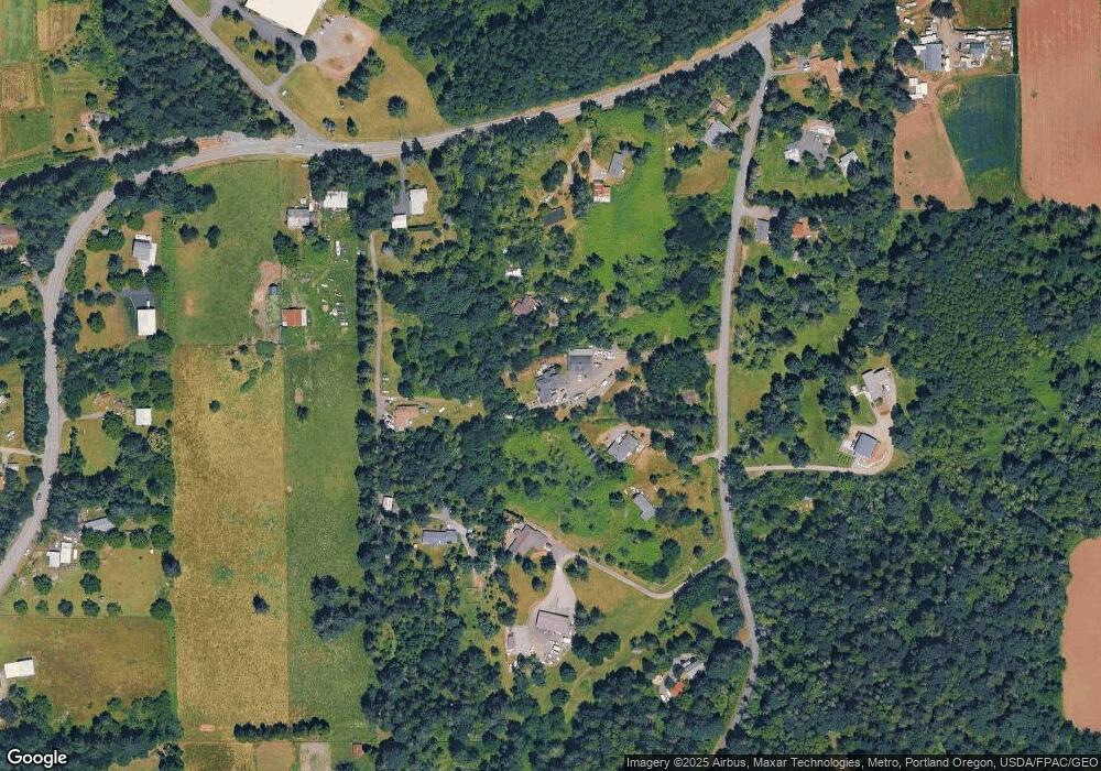
Map
Nearby Homes
- 139 SE Curtis Dr
- 35928 E Historic Columbia River Hwy
- 32728 NE Chamberlain Rd
- 421 SE Pounder Rd
- 1800 NE Corbett Hill Rd
- 31708 NE Wand Rd
- 3011 NE Rasmussen Rd
- 1515 NE Meyers Ln
- 601 NE Littlepage Rd
- 1408 NE Ogden Rd
- 4211 SE 322nd Ave
- 28236 Historic Columbia River Hwy
- 32404 SE Pipeline Rd
- 31616 SE Pipeline Rd
- 28499 SE Sweetbriar Rd
- 1719 SE Lewellyn Ave
- 0 SE Gordon Creek Rd
- 41300 E Larch Mountain Rd
- 4501 Addy St Unit 30
- 4501 Addy St
- 403 NE Curtis Dr
- 219 NE Curtis Dr
- 34440 E Historic Columbia River Hwy
- 121 NE Curtis Dr
- 0 NE Curtis Dr
- 34700 E Historic Columbia River Hwy
- 34420 E Hist Columbia River Hwy
- 34442 E Historic Columbia River Hwy
- 420 NE Curtis Dr
- 531 NE Curtis Dr
- 34300 E Historic Columbia River Hwy
- 346 NE Curtis Dr
- 85 NE Curtis Dr
- 100 NE Curtis Dr
- 532 NE Curtis Dr
- 34110 E Historic Columbia River Hwy
- 630 NE Curtis Dr
- 34128 E Historic Columbia River Hwy
- 18 SE Curtis Dr
- 139 NE Curtis Dr
Your Personal Tour Guide
Ask me questions while you tour the home.