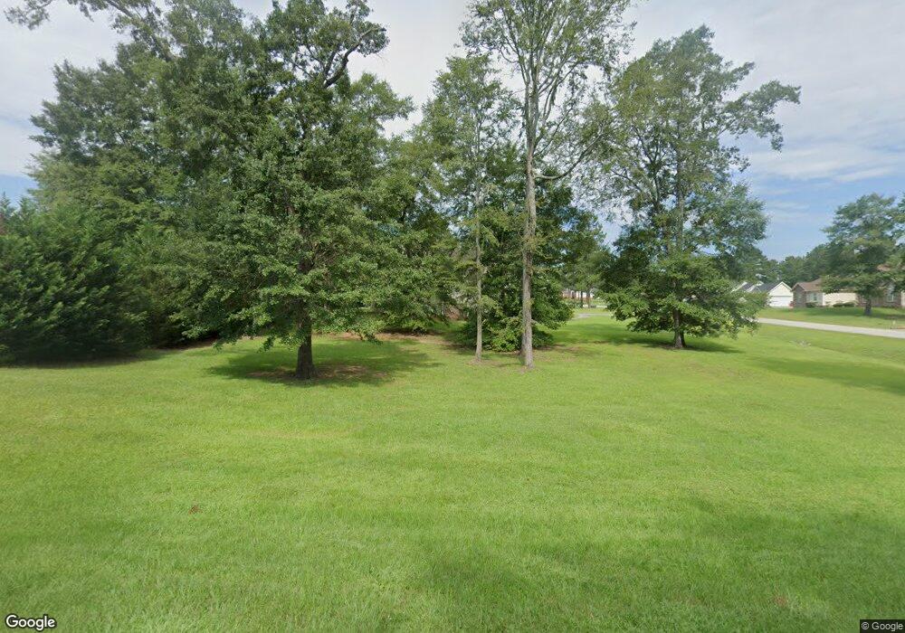
301 Osage Ct Macon, GA 31216
Estimated Value: $226,000 - $271,000
3
Beds
2
Baths
1,805
Sq Ft
$139/Sq Ft
Est. Value
About This Home
This home is located at 301 Osage Ct, Macon, GA 31216 and is currently estimated at $251,472, approximately $139 per square foot. 301 Osage Ct is a home located in Bibb County with nearby schools including Heard Elementary School, Rutland Middle School, and Rutland High School.
Ownership History
Date
Name
Owned For
Owner Type
Purchase Details
Closed on
Jun 30, 2009
Sold by
Security Bank Of Houston County
Bought by
Jacobs Monica T
Current Estimated Value
Purchase Details
Closed on
Jan 5, 2009
Sold by
Bdm Hatin & Associates Inc
Bought by
Security Bank Of Houston Co
Purchase Details
Closed on
Mar 7, 2007
Sold by
Hatin Brian R
Bought by
Bdm Hatin & Associates Inc
Purchase Details
Closed on
Feb 27, 2006
Create a Home Valuation Report for This Property
The Home Valuation Report is an in-depth analysis detailing your home's value as well as a comparison with similar homes in the area
Home Values in the Area
Average Home Value in this Area
Purchase History
| Date | Buyer | Sale Price | Title Company |
|---|---|---|---|
| Jacobs Monica T | $130,000 | None Available | |
| Security Bank Of Houston Co | $128,500 | -- | |
| Bdm Hatin & Associates Inc | $28,200 | -- | |
| -- | $83,700 | -- |
Source: Public Records
Tax History Compared to Growth
Tax History
| Year | Tax Paid | Tax Assessment Tax Assessment Total Assessment is a certain percentage of the fair market value that is determined by local assessors to be the total taxable value of land and additions on the property. | Land | Improvement |
|---|---|---|---|---|
| 2024 | $1,930 | $83,008 | $8,000 | $75,008 |
| 2023 | $1,367 | $78,823 | $6,000 | $72,823 |
| 2022 | $2,133 | $68,602 | $8,000 | $60,602 |
| 2021 | $1,918 | $57,471 | $8,000 | $49,471 |
| 2020 | $1,960 | $57,471 | $8,000 | $49,471 |
| 2019 | $1,976 | $57,471 | $8,000 | $49,471 |
| 2018 | $3,020 | $54,379 | $8,000 | $46,379 |
| 2017 | $1,775 | $54,379 | $8,000 | $46,379 |
| 2016 | $1,639 | $54,379 | $8,000 | $46,379 |
| 2015 | $2,321 | $54,379 | $8,000 | $46,379 |
| 2014 | $3,003 | $68,214 | $12,988 | $55,226 |
Source: Public Records
Map
Nearby Homes
- 312 Buckskin Dr
- 1850 Barnes Ferry Rd
- 7386 Hawkinsville Rd
- 120 Abberley Ln
- 7070 Sofkee Place
- 117 Abberley Ln
- 326 Stockton Cir
- 301 Stockton Cir
- Plan 2700 at The Abberley
- Plan 2604 at The Abberley
- 2165 Griffin Rd
- 317 Stockton Cir
- 2154 Allen Rd
- 8410 Hawkinsville Rd Unit LOT 42
- 4037 Liberty Estates Dr
- 4025 Liberty Estates Dr
- 2741 Liberty Church Rd
- 261 Amanda Dr
- 149 Lew Dr
- 344 Browning Pointe Rd
- 305 Hawk Ct
- 222 Natchez Trace
- 221 Natchez Trace
- 224 Natchez Trace
- 0 Hawk Ct Unit 8288258
- 0 Hawk Ct Unit 8218406
- 0 Hawk Ct Unit 8205240
- 220 Natchez Trace
- 311 Hawk Ct
- 304 Hawk Ct
- 219 Natchez Trace
- 313 Hawk Ct
- 218 Natchez Trace
- 307 Hawk Ct
- 309 Hawk Ct
- 0 Natchez Trace Unit 8556943
- 0 Natchez Trace Unit 8580805
- 0 Natchez Trace Unit 3215373
- 217 Natchez Trace
- 215 Natchez Trace
