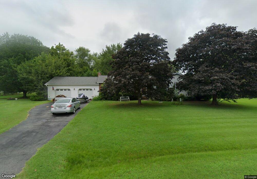
301 Oxbow Dr Stevensville, MD 21666
Estimated Value: $414,102 - $633,000
Studio
2
Baths
1,796
Sq Ft
$298/Sq Ft
Est. Value
About This Home
This home is located at 301 Oxbow Dr, Stevensville, MD 21666 and is currently estimated at $534,776, approximately $297 per square foot. 301 Oxbow Dr is a home located in Queen Anne's County with nearby schools including Matapeake Elementary School, Matapeake Middle School, and Kent Island High School.
Ownership History
Date
Name
Owned For
Owner Type
Purchase Details
Closed on
Jan 5, 2026
Sold by
Vitek Joseph Paul
Bought by
Joseph P Vitek Revocable Trust and Vitek
Current Estimated Value
Purchase Details
Closed on
Oct 31, 1984
Sold by
Rosenberry Bard L and Rosenberry Mary V
Bought by
Vitek Joseph P
Home Financials for this Owner
Home Financials are based on the most recent Mortgage that was taken out on this home.
Original Mortgage
$44,000
Interest Rate
14.05%
Purchase Details
Closed on
Oct 28, 1981
Sold by
Roberts Ralph T and Roberts Jacquelyn
Bought by
Rosenberry Bard L and Rosenberry Mary
Home Financials for this Owner
Home Financials are based on the most recent Mortgage that was taken out on this home.
Original Mortgage
$53,000
Interest Rate
18.39%
Create a Home Valuation Report for This Property
The Home Valuation Report is an in-depth analysis detailing your home's value as well as a comparison with similar homes in the area
Purchase History
| Date | Buyer | Sale Price | Title Company |
|---|---|---|---|
| Joseph P Vitek Revocable Trust | -- | None Listed On Document | |
| Vitek Joseph P | $81,000 | -- | |
| Rosenberry Bard L | $72,000 | -- |
Source: Public Records
Mortgage History
| Date | Status | Borrower | Loan Amount |
|---|---|---|---|
| Previous Owner | Vitek Joseph P | $44,000 | |
| Previous Owner | Rosenberry Bard L | $53,000 |
Source: Public Records
Tax History
| Year | Tax Paid | Tax Assessment Tax Assessment Total Assessment is a certain percentage of the fair market value that is determined by local assessors to be the total taxable value of land and additions on the property. | Land | Improvement |
|---|---|---|---|---|
| 2025 | $3,231 | $360,900 | $0 | $0 |
| 2024 | $3,067 | $334,900 | $0 | $0 |
| 2023 | $2,910 | $308,900 | $155,600 | $153,300 |
| 2022 | $2,928 | $304,433 | $0 | $0 |
| 2021 | $2,937 | $299,967 | $0 | $0 |
| 2020 | $2,894 | $295,500 | $150,600 | $144,900 |
| 2019 | $2,717 | $283,267 | $0 | $0 |
| 2018 | $2,659 | $271,033 | $0 | $0 |
| 2017 | $2,542 | $258,800 | $0 | $0 |
| 2016 | -- | $258,800 | $0 | $0 |
| 2015 | $1,165 | $258,800 | $0 | $0 |
| 2014 | $1,165 | $264,700 | $0 | $0 |
Source: Public Records
Map
Nearby Homes
- 208 Tower Dr
- 101 Beachside Dr
- 145 N Lake Dr
- 122 N Lake Dr
- 114 N Lake Dr
- Lot 1 - E/Kent Point Romancoke
- 0 Ackerman Dr
- Lot 8 Ackerman Dr
- 217 Ackerman Dr
- 610 Elm St
- 209 Olive Branch Rd
- 414 Bay Dr
- 132 Pennick Dr
- 137 Tanners Point Dr
- 200 Mallard Cove Ln
- 326 S Carolina Rd
- 346 Oregon Rd
- Lot 49-50 Bay Dr
- 208 Long Point Rd
- 104 Cecil Rd
Your Personal Tour Guide
Ask me questions while you tour the home.