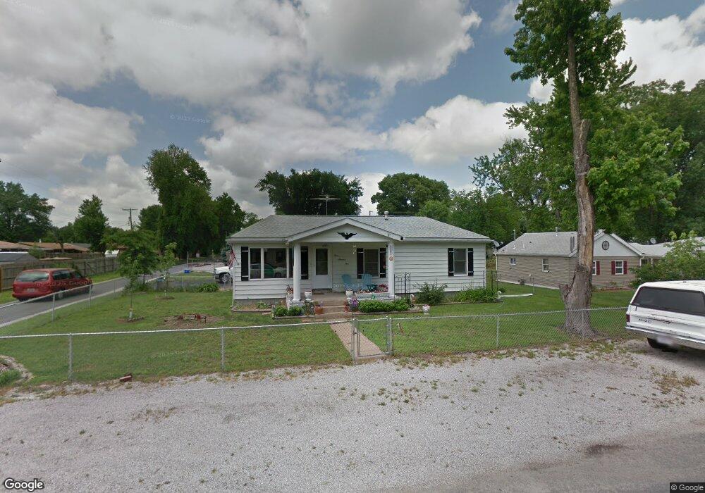
301 Pershing Ave Wood River, IL 62095
Estimated Value: $112,112 - $148,000
4
Beds
1
Bath
1,056
Sq Ft
$124/Sq Ft
Est. Value
About This Home
This home is located at 301 Pershing Ave, Wood River, IL 62095 and is currently estimated at $131,278, approximately $124 per square foot. 301 Pershing Ave is a home located in Madison County with nearby schools including Eastwood Elementary School, East Alton Middle School, and East Alton-Wood River High School.
Ownership History
Date
Name
Owned For
Owner Type
Purchase Details
Closed on
Oct 2, 2009
Sold by
Tretter Mary A and Tretter Shirley Jean
Bought by
Desherlia John S
Current Estimated Value
Home Financials for this Owner
Home Financials are based on the most recent Mortgage that was taken out on this home.
Original Mortgage
$66,600
Outstanding Balance
$19,680
Interest Rate
5.19%
Mortgage Type
New Conventional
Estimated Equity
$111,598
Create a Home Valuation Report for This Property
The Home Valuation Report is an in-depth analysis detailing your home's value as well as a comparison with similar homes in the area
Home Values in the Area
Average Home Value in this Area
Purchase History
| Date | Buyer | Sale Price | Title Company |
|---|---|---|---|
| Desherlia John S | $74,000 | Colonial Title |
Source: Public Records
Mortgage History
| Date | Status | Borrower | Loan Amount |
|---|---|---|---|
| Open | Desherlia John S | $66,600 |
Source: Public Records
Tax History Compared to Growth
Tax History
| Year | Tax Paid | Tax Assessment Tax Assessment Total Assessment is a certain percentage of the fair market value that is determined by local assessors to be the total taxable value of land and additions on the property. | Land | Improvement |
|---|---|---|---|---|
| 2024 | $2,488 | $32,540 | $3,480 | $29,060 |
| 2023 | $2,488 | $30,330 | $3,240 | $27,090 |
| 2022 | $2,314 | $27,990 | $2,990 | $25,000 |
| 2021 | $2,093 | $26,090 | $2,790 | $23,300 |
| 2020 | $2,024 | $25,130 | $2,690 | $22,440 |
| 2019 | $1,646 | $24,810 | $2,610 | $22,200 |
| 2018 | $1,603 | $23,570 | $2,480 | $21,090 |
| 2017 | $1,520 | $23,010 | $2,420 | $20,590 |
| 2016 | $1,513 | $23,010 | $2,420 | $20,590 |
| 2015 | $1,607 | $20,550 | $2,500 | $18,050 |
| 2014 | $1,607 | $20,550 | $2,500 | $18,050 |
| 2013 | $1,607 | $20,850 | $2,540 | $18,310 |
Source: Public Records
Map
Nearby Homes
- 959 Cedar Dr
- 523 Wilson Ave
- 345 Illinois Ave
- 104 Whitelaw Ave
- 121 Whitelaw Ave
- 98 Wood River Ave
- 641 Leslie Ave
- 830 N Wood River Ave
- 777 Condit St
- 283 Hi Pointe Place
- 782 Berry Rd
- 565 5th St
- 537 Tipton Ave
- 529 5th St
- 833 State St
- 250 Hi Pointe Place
- 726 Rice St
- 133 Lincoln Ave
- 469 N 1st St
- 458 N 6th St
- 309 Pershing Ave
- 315 Pershing Ave
- 300 Roosevelt Ave
- 947 Cedar Dr
- 943 Cedar Dr
- 951 Cedar Dr
- 302 Pershing Ave
- 323 Pershing Ave
- 939 Cedar Dr
- 314 Pershing Ave
- 955 Cedar Dr
- 329 Pershing Ave
- 935 Cedar Dr
- 316 Pershing Ave
- 316 Roosevelt Ave
- 324 Pershing Ave
- 324 Pershing Ave
- 337 Pershing Ave
- 931 Cedar Dr
- 324 Roosevelt Ave