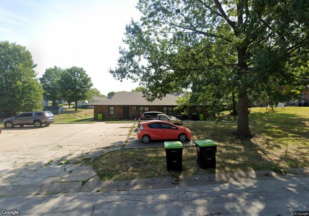
301 Pheasant Rd Harrisonville, MO 64701
Estimated Value: $319,000 - $383,000
4
Beds
4
Baths
3,072
Sq Ft
$115/Sq Ft
Est. Value
About This Home
This home is located at 301 Pheasant Rd, Harrisonville, MO 64701 and is currently estimated at $353,034, approximately $114 per square foot. 301 Pheasant Rd is a home located in Cass County with nearby schools including Harrisonville Elementary School, McEowen Elementary School, and Harrisonville Middle School.
Ownership History
Date
Name
Owned For
Owner Type
Purchase Details
Closed on
Apr 7, 2023
Sold by
Fox Melissa
Bought by
Copeland James A and Copeland Patricia A
Current Estimated Value
Home Financials for this Owner
Home Financials are based on the most recent Mortgage that was taken out on this home.
Original Mortgage
$430,000
Outstanding Balance
$416,386
Interest Rate
6.28%
Estimated Equity
-$63,352
Purchase Details
Closed on
Nov 4, 2021
Sold by
Copeland Cindy L
Bought by
Copeland James A and Copeland Patricia A
Create a Home Valuation Report for This Property
The Home Valuation Report is an in-depth analysis detailing your home's value as well as a comparison with similar homes in the area
Home Values in the Area
Average Home Value in this Area
Purchase History
We collect this data history from publicly available records. To have your information removed, we recommend requesting removal directly through your county’s website.
| Date | Buyer | Sale Price | Title Company |
|---|---|---|---|
| Copeland James A | -- | None Listed On Document | |
| Copeland James A | -- | None Listed On Document |
Source: Public Records
Mortgage History
We collect this data history from publicly available records. To have your information removed, we recommend requesting removal directly through your county’s website.
| Date | Status | Borrower | Loan Amount |
|---|---|---|---|
| Open | Copeland James A | $430,000 |
Source: Public Records
Tax History
| Year | Tax Paid | Tax Assessment Tax Assessment Total Assessment is a certain percentage of the fair market value that is determined by local assessors to be the total taxable value of land and additions on the property. | Land | Improvement |
|---|---|---|---|---|
| 2025 | $2,762 | $45,950 | $6,530 | $39,420 |
| 2024 | $2,762 | $40,910 | $5,940 | $34,970 |
| 2023 | $2,746 | $40,910 | $5,940 | $34,970 |
| 2022 | $2,444 | $36,000 | $5,940 | $30,060 |
| 2021 | $2,444 | $36,000 | $5,940 | $30,060 |
| 2020 | $2,351 | $34,720 | $5,940 | $28,780 |
| 2019 | $2,176 | $34,720 | $5,940 | $28,780 |
| 2018 | $1,978 | $31,300 | $5,230 | $26,070 |
| 2017 | $1,905 | $31,300 | $5,230 | $26,070 |
| 2016 | $1,905 | $29,930 | $5,230 | $24,700 |
| 2015 | $1,905 | $29,930 | $5,230 | $24,700 |
| 2014 | $1,906 | $29,930 | $5,230 | $24,700 |
| 2013 | -- | $29,930 | $5,230 | $24,700 |
Source: Public Records
Map
Nearby Homes
- 2405 Pearson Cir
- 2407 Pearson Cir
- 201 Brookridge Dr Unit 203
- 501 Pheasant St
- 112 Brookridge Dr Unit 114
- 117 Brookridge Dr Unit 119
- 109 Brookridge Dr Unit 111
- 101 Brookridge Dr Unit 103
- 105 Horizon Ave
- 1802 Bird Terrace
- 2200 Twin Oaks Dr
- 2203 Twin Oaks Dr
- 2201 Twin Oaks Dr
- 902 Twin Oaks Terrace
- 1001 Twin Oaks Terrace
- 904 Twin Oaks Terrace
- 1003 Twin Oaks Terrace
- 1000 Twin Oaks Terrace
- 1002 Twin Oaks Terrace
- 2203 Mission Rd
- 2304 Ridgewood Rd
- 2304 Ridgewood Rd
- 2401 Pearson Cir
- 2400 Ridgewood Rd
- 2402 Pearson Cir
- 2402 Ridgewood Rd
- 300 Pheasant Rd
- 2302 Ridgewood Rd
- 2400 Pearson Cir
- 2404 Ridgewood Rd
- 307 Pheasant Rd
- 2404 Pearson Cir Unit 2406
- 400 Osage St
- 2406 Ridgewood Rd
- 2303 Ridgewood Rd
- 301 Ridgewood Ct
- 2409 Pearson Cir Unit 2411
- 2204 Ridgewood Rd
- 2204 Ridgewood Rd
- 2408 Pearson Cir
Your Personal Tour Guide
Ask me questions while you tour the home.