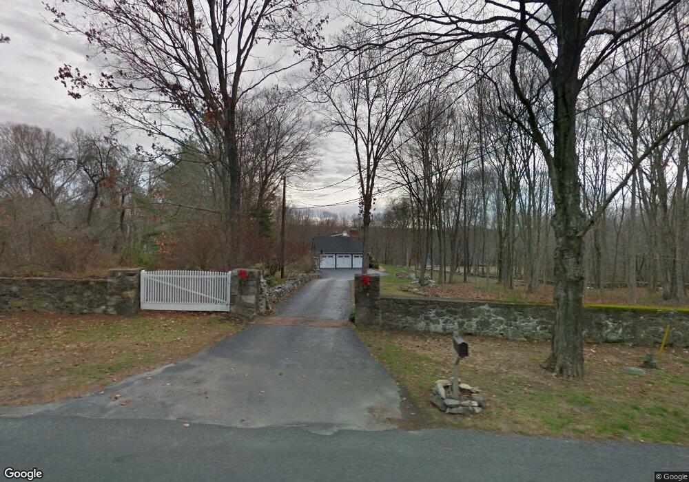
301 Redding Rd Easton, CT 06612
Estimated Value: $910,000 - $1,268,000
3
Beds
4
Baths
2,598
Sq Ft
$404/Sq Ft
Est. Value
About This Home
This home is located at 301 Redding Rd, Easton, CT 06612 and is currently estimated at $1,048,928, approximately $403 per square foot. 301 Redding Rd is a home located in Fairfield County with nearby schools including Samuel Staples Elementary School, Helen Keller Middle School, and Joel Barlow High School.
Ownership History
Date
Name
Owned For
Owner Type
Purchase Details
Closed on
Oct 31, 1997
Sold by
Klein Alan M and Klein Jeanne M
Bought by
Lesko Robert C and Lesko Lori Ann
Current Estimated Value
Home Financials for this Owner
Home Financials are based on the most recent Mortgage that was taken out on this home.
Original Mortgage
$250,000
Interest Rate
7.31%
Mortgage Type
Unknown
Create a Home Valuation Report for This Property
The Home Valuation Report is an in-depth analysis detailing your home's value as well as a comparison with similar homes in the area
Home Values in the Area
Average Home Value in this Area
Purchase History
| Date | Buyer | Sale Price | Title Company |
|---|---|---|---|
| Lesko Robert C | $410,000 | -- | |
| Lesko Robert C | $410,000 | -- |
Source: Public Records
Mortgage History
| Date | Status | Borrower | Loan Amount |
|---|---|---|---|
| Closed | Lesko Robert C | $136,500 | |
| Closed | Lesko Robert C | $250,000 |
Source: Public Records
Tax History
| Year | Tax Paid | Tax Assessment Tax Assessment Total Assessment is a certain percentage of the fair market value that is determined by local assessors to be the total taxable value of land and additions on the property. | Land | Improvement |
|---|---|---|---|---|
| 2025 | $13,530 | $436,450 | $199,500 | $236,950 |
| 2024 | $12,893 | $436,450 | $199,500 | $236,950 |
| 2023 | $12,640 | $436,450 | $199,500 | $236,950 |
| 2022 | $12,413 | $436,450 | $199,500 | $236,950 |
| 2021 | $14,258 | $440,750 | $249,380 | $191,370 |
| 2020 | $13,663 | $440,750 | $249,380 | $191,370 |
| 2019 | $13,809 | $440,750 | $249,380 | $191,370 |
| 2018 | $13,831 | $440,750 | $249,380 | $191,370 |
| 2017 | $14,712 | $440,750 | $249,380 | $191,370 |
| 2016 | $14,648 | $475,440 | $302,570 | $172,870 |
| 2015 | $14,327 | $471,580 | $302,570 | $169,010 |
| 2014 | $14,100 | $471,580 | $302,570 | $169,010 |
Source: Public Records
Map
Nearby Homes
- 140 Mile Common Rd
- 11 Judges Hollow Rd
- 85-95 Old Easton Turnpike
- 200 Long Meadow Rd
- 14 Codfish Ln
- 180 Catamount Rd
- 1375 Westport Turnpike
- 158 Coventry Ln
- 4800 Congress St
- 22 Brett Rd
- 10 Pheasant Hill Rd
- 51 Wilson Rd
- 274 Lyons Plain Rd
- 4 Colony Rd
- 475 Fence Row Dr
- 88 Merry Meet Cir
- 212 Fence Row Dr
- 39 Tannery Ln S
- 1 Greenlea Ln
- 198 Steep Hill Rd
- 285 Redding Rd
- 285 Redding Rd
- 4041 Redding Rd
- 4014 Redding Rd
- 210 Mile Common Rd
- 270 Redding Rd
- 270 Redding Rd Unit 280
- 229 Mile Common Rd
- 200 Mile Common Rd
- 280 Redding Rd
- 280 Redding Rd Unit REAR
- 290 Redding (& 4079) Rd Unit LAND
- 290 Redding (& 4079) Rd
- 290 Redding Rd
- 4075 Redding Rd
- 3960 Redding Rd
- 3975 Redding Rd
- 219 Mile Common Rd
- 4079 Redding (& 290) Rd
- 190 Mile Common Rd
Your Personal Tour Guide
Ask me questions while you tour the home.