301 Richard Dr Long Pond, PA 18334
Estimated Value: $381,000 - $414,963
4
Beds
3
Baths
1,992
Sq Ft
$200/Sq Ft
Est. Value
About This Home
This home is located at 301 Richard Dr, Long Pond, PA 18334 and is currently estimated at $398,491, approximately $200 per square foot. 301 Richard Dr is a home located in Monroe County with nearby schools including Clear Run Intermediate School, Pocono Mountain West Junior High School, and Pocono Mountain West High School.
Ownership History
Date
Name
Owned For
Owner Type
Purchase Details
Closed on
Jul 11, 2008
Sold by
Coumoutseas Nicole and Coumoutseas Cheryl
Bought by
Masotti Roger D and Masotti Jennifer F
Current Estimated Value
Home Financials for this Owner
Home Financials are based on the most recent Mortgage that was taken out on this home.
Original Mortgage
$204,200
Outstanding Balance
$133,593
Interest Rate
6.35%
Mortgage Type
Purchase Money Mortgage
Estimated Equity
$264,898
Create a Home Valuation Report for This Property
The Home Valuation Report is an in-depth analysis detailing your home's value as well as a comparison with similar homes in the area
Home Values in the Area
Average Home Value in this Area
Purchase History
| Date | Buyer | Sale Price | Title Company |
|---|---|---|---|
| Masotti Roger D | $215,000 | None Available |
Source: Public Records
Mortgage History
| Date | Status | Borrower | Loan Amount |
|---|---|---|---|
| Open | Masotti Roger D | $204,200 |
Source: Public Records
Tax History Compared to Growth
Tax History
| Year | Tax Paid | Tax Assessment Tax Assessment Total Assessment is a certain percentage of the fair market value that is determined by local assessors to be the total taxable value of land and additions on the property. | Land | Improvement |
|---|---|---|---|---|
| 2025 | $1,213 | $165,320 | $26,250 | $139,070 |
| 2024 | $990 | $165,320 | $26,250 | $139,070 |
| 2023 | $4,203 | $165,320 | $26,250 | $139,070 |
| 2022 | $4,129 | $165,320 | $26,250 | $139,070 |
| 2021 | $4,129 | $165,320 | $26,250 | $139,070 |
| 2020 | $3,703 | $165,320 | $26,250 | $139,070 |
| 2019 | $4,747 | $28,290 | $4,000 | $24,290 |
| 2018 | $4,747 | $28,290 | $4,000 | $24,290 |
| 2017 | $4,803 | $28,290 | $4,000 | $24,290 |
| 2016 | $948 | $28,290 | $4,000 | $24,290 |
| 2015 | -- | $28,290 | $4,000 | $24,290 |
| 2014 | -- | $28,290 | $4,000 | $24,290 |
Source: Public Records
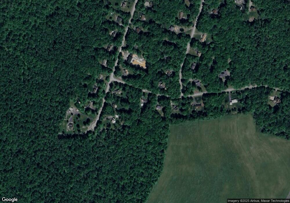
Map
Nearby Homes
- Lot 7002 Long Pond Rd
- 125 Pawnee Ct
- 328 High Country Dr
- 205 Minsi Trail W
- 343 High Country Dr
- 426 Tranquility Trail
- 376 High Country Dr
- 114 High Country Dr
- 205 Victory Ln
- 142 Bull Run
- 152 Bull Run
- 153 Bull Run
- 1451 Long Pond Rd
- 119 Archer Dr
- 1227 Hunter Ln
- 1246 Glade Dr
- 215 Hermit Thrush Rd
- 207 Hermit Thrush Rd
- 0 Hermit Thrush Rd Unit PM-116089
- 218 Hermit Thrush Rd
- 303 Richard Dr
- 302 Richard Dr
- 316 Richard Dr
- 218 Annette Marie Dr
- 220 Annette Marie Dr
- 305 Richard Dr
- 216 Annette Marie Dr
- 411 David Dr
- 222 Annette Marie Dr
- 25 Annette Marie
- Lot 25 Annette Marie Dr
- 309 Richard Dr
- 307 Richard Dr
- 217 Annette Marie Dr
- 219 Annette Marie Dr
- 409 David Dr
- 221 Annette Marie Dr
- 414 David Dr
- 215 Annette Marie Dr
- 212 Annette Marie Dr