Estimated Value: $1,104,306
Studio
--
Bath
9,750
Sq Ft
$113/Sq Ft
Est. Value
About This Home
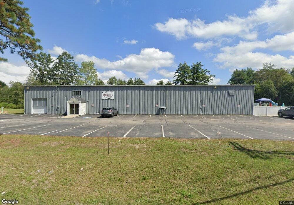
This home is located at 301 River Rd, Bow, NH 03304 and is currently estimated at $1,104,306, approximately $113 per square foot. 301 River Rd is a home located in Merrimack County with nearby schools including Bow Elementary School, Bow Memorial School, and Bow High School.
Ownership History
Date
Name
Owned For
Owner Type
Purchase Details
Closed on
Jan 3, 2023
Sold by
Cote-Burk Diane and Burk James
Bought by
Ashby5823 Realty Llc
Current Estimated Value
Home Financials for this Owner
Home Financials are based on the most recent Mortgage that was taken out on this home.
Original Mortgage
$631,638
Outstanding Balance
$608,770
Interest Rate
6.61%
Mortgage Type
Purchase Money Mortgage
Estimated Equity
$495,536
Create a Home Valuation Report for This Property
The Home Valuation Report is an in-depth analysis detailing your home's value as well as a comparison with similar homes in the area
Home Values in the Area
Average Home Value in this Area
Purchase History
| Date | Buyer | Sale Price | Title Company |
|---|---|---|---|
| Ashby5823 Realty Llc | $850,000 | None Available |
Source: Public Records
Mortgage History
| Date | Status | Borrower | Loan Amount |
|---|---|---|---|
| Open | Ashby5823 Realty Llc | $631,638 |
Source: Public Records
Tax History
| Year | Tax Paid | Tax Assessment Tax Assessment Total Assessment is a certain percentage of the fair market value that is determined by local assessors to be the total taxable value of land and additions on the property. | Land | Improvement |
|---|---|---|---|---|
| 2025 | $18,386 | $917,000 | $555,600 | $361,400 |
| 2024 | $18,138 | $917,000 | $555,600 | $361,400 |
| 2023 | $18,716 | $673,000 | $236,100 | $436,900 |
| 2022 | $17,848 | $673,000 | $236,100 | $436,900 |
| 2021 | $17,155 | $673,000 | $236,100 | $436,900 |
| 2020 | $17,318 | $677,000 | $236,100 | $440,900 |
| 2019 | $17,744 | $677,000 | $236,100 | $440,900 |
| 2018 | $15,976 | $575,100 | $180,900 | $394,200 |
| 2017 | $15,971 | $575,100 | $180,900 | $394,200 |
| 2016 | $15,119 | $575,100 | $180,900 | $394,200 |
| 2015 | $13,876 | $486,200 | $180,900 | $305,300 |
| 2014 | $14,348 | $486,200 | $180,900 | $305,300 |
| 2011 | -- | $487,200 | $176,700 | $310,500 |
Source: Public Records
Map
Nearby Homes
- 365 Pembroke St
- 214 Pembroke St
- 214 Pembroke St Unit A
- 6 Donna Dr
- 14 High St
- 5 Howard St
- 91 Whittemore Rd
- 7 Broadway
- 100 Main St Unit 108
- 100 Main St Unit 203
- 19 Whittemore Rd
- 214 Dearborn Rd
- 8 Mill Falls Rd
- 22 Ferry St
- 10 Mill Falls Rd
- 15 Clearview Dr
- 8 Central St
- 481 Woodlawn Ridge Rd
- 169 Tina Dr
- 492 Woodlawn Ridge Rd
Your Personal Tour Guide
Ask me questions while you tour the home.