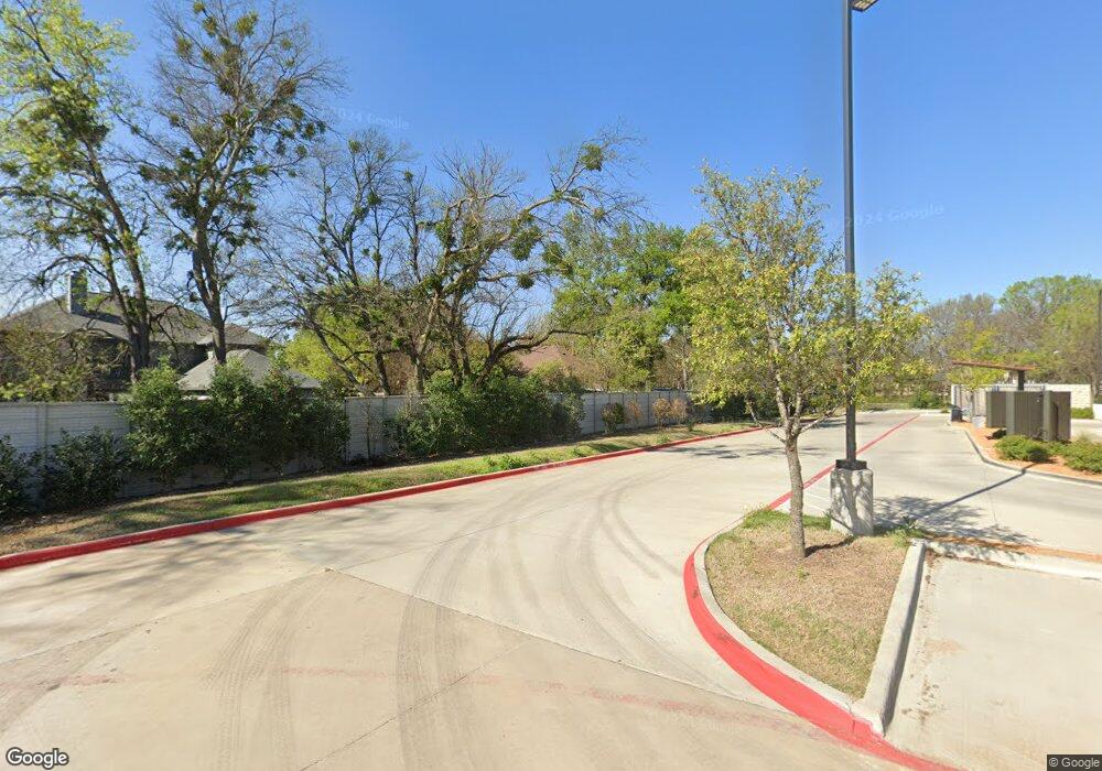
301 Rolling Oak Dr Murphy, TX 75094
Estimated Value: $432,883 - $484,000
3
Beds
2
Baths
1,978
Sq Ft
$234/Sq Ft
Est. Value
About This Home
This home is located at 301 Rolling Oak Dr, Murphy, TX 75094 and is currently estimated at $463,721, approximately $234 per square foot. 301 Rolling Oak Dr is a home located in Collin County with nearby schools including Miller Elementary School, Murphy Middle School, and C A Mcmillen High School.
Ownership History
Date
Name
Owned For
Owner Type
Purchase Details
Closed on
Apr 26, 1996
Sold by
U S Home Corp
Bought by
Young Warren C and Young Alda H
Current Estimated Value
Home Financials for this Owner
Home Financials are based on the most recent Mortgage that was taken out on this home.
Original Mortgage
$96,450
Outstanding Balance
$4,073
Interest Rate
7.8%
Estimated Equity
$459,648
Create a Home Valuation Report for This Property
The Home Valuation Report is an in-depth analysis detailing your home's value as well as a comparison with similar homes in the area
Home Values in the Area
Average Home Value in this Area
Purchase History
| Date | Buyer | Sale Price | Title Company |
|---|---|---|---|
| Young Warren C | -- | -- |
Source: Public Records
Mortgage History
| Date | Status | Borrower | Loan Amount |
|---|---|---|---|
| Open | Young Warren C | $96,450 |
Source: Public Records
Tax History
| Year | Tax Paid | Tax Assessment Tax Assessment Total Assessment is a certain percentage of the fair market value that is determined by local assessors to be the total taxable value of land and additions on the property. | Land | Improvement |
|---|---|---|---|---|
| 2025 | $1,950 | $426,048 | $132,250 | $343,092 |
| 2024 | $1,950 | $387,316 | $132,250 | $348,880 |
| 2023 | $1,950 | $352,105 | $132,250 | $308,020 |
| 2022 | $6,269 | $320,095 | $115,000 | $271,532 |
| 2021 | $6,009 | $290,995 | $92,000 | $198,995 |
| 2020 | $5,982 | $286,439 | $80,500 | $205,939 |
| 2019 | $6,160 | $281,148 | $80,500 | $200,648 |
| 2018 | $5,713 | $258,386 | $80,500 | $199,040 |
| 2017 | $5,194 | $252,645 | $80,500 | $172,145 |
| 2016 | $4,780 | $228,539 | $69,000 | $159,539 |
| 2015 | $3,333 | $196,661 | $51,750 | $144,911 |
Source: Public Records
Map
Nearby Homes
- 101 Hawthorne Dr
- 300 Shady Timbers Ln
- 322 Willow Wood St
- 202 Sweetgum Dr
- 342 Willow Wood St
- 110 Birch Blvd
- 356 Willow Wood St
- 316 Mimosa Dr
- 600 E Fm 544
- 428 Rainforest Ct
- 401 N Maxwell Creek Rd
- 1008 Yarnell Place
- 524 Jasmine Dr
- 138 Creekside Dr
- 5924 Mulvane Dr
- 465 Kinney Dr
- 402 S Maxwell Creek Rd
- 305 Ryan Ct
- 509 Camrose Ln
- 313 Cave River Dr
- 113 Meadow Creek Dr
- 305 Rolling Oak Dr
- 309 Rolling Oak Dr
- 117 Meadow Creek Dr
- 313 Rolling Oak Dr
- 304 Rolling Oak Dr
- 121 Meadow Creek Dr
- 112 Hawthorne Dr
- 116 Hawthorne Dr
- 120 Hawthorne Dr
- 317 Rolling Oak Dr
- 312 Rolling Oak Dr
- 124 Hawthorne Dr
- 301 Woodlake Dr
- 316 Rolling Oak Dr
- 321 Rolling Oak Dr
- 305 Woodlake Dr
- 229 Woodlake Dr
- 129 Meadow Creek Dr
- 309 Woodlake Dr
Your Personal Tour Guide
Ask me questions while you tour the home.
