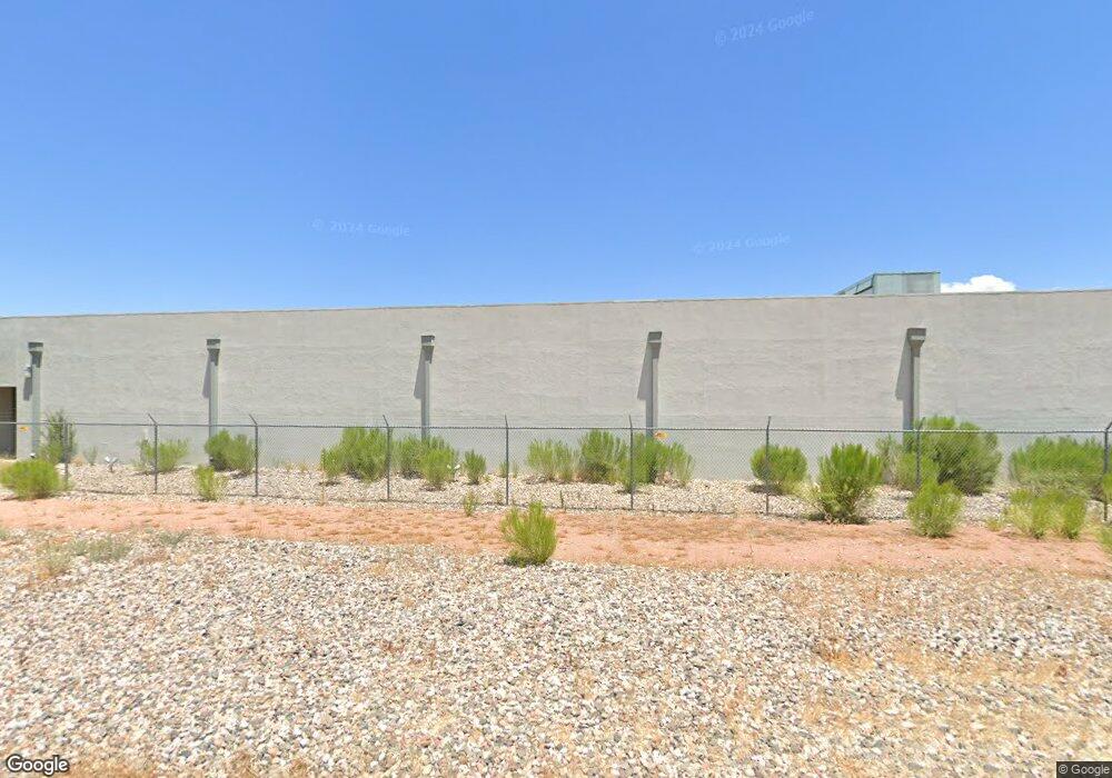
301 S Airpark Rd Cottonwood, AZ 86326
Cottonwood NeighborhoodEstimated Value: $2,715,878
--
Bed
--
Bath
15,000
Sq Ft
$181/Sq Ft
Est. Value
About This Home
This home is located at 301 S Airpark Rd, Cottonwood, AZ 86326 and is currently estimated at $2,715,878, approximately $181 per square foot. 301 S Airpark Rd is a home located in Yavapai County with nearby schools including Cottonwood Elementary School, Dr Daniel Bright Elementary School, and Cottonwood Community School.
Create a Home Valuation Report for This Property
The Home Valuation Report is an in-depth analysis detailing your home's value as well as a comparison with similar homes in the area
Home Values in the Area
Average Home Value in this Area
Tax History Compared to Growth
Tax History
| Year | Tax Paid | Tax Assessment Tax Assessment Total Assessment is a certain percentage of the fair market value that is determined by local assessors to be the total taxable value of land and additions on the property. | Land | Improvement |
|---|---|---|---|---|
| 2026 | -- | -- | -- | -- |
| 2024 | $0 | -- | -- | -- |
| 2023 | $0 | $199,011 | $199,011 | $0 |
| 2022 | $0 | $199,011 | $199,011 | $0 |
| 2021 | $0 | $199,011 | $199,011 | $0 |
| 2020 | $0 | $0 | $0 | $0 |
| 2019 | $0 | $0 | $0 | $0 |
| 2018 | $0 | $0 | $0 | $0 |
| 2017 | $0 | $0 | $0 | $0 |
| 2016 | $0 | $0 | $0 | $0 |
| 2015 | -- | $0 | $0 | $0 |
| 2014 | -- | $0 | $0 | $0 |
Source: Public Records
Map
Nearby Homes
- 258 Justin Dr
- 325 W State Route 89a Unit 7
- 325 W State Route 89a -- Unit 16
- 325 W State Route 89a -- Unit 65
- 325 W State Route 89a -- Unit 73
- 325 W State Route 89a -- Unit 15
- 199 S Candy Ln
- 240 S Maverick Way
- 15 N Alamos Dr Unit A & B
- 5 W Cottonwood St Unit 23
- 1660 W Bronco Ln
- 315 S Willard St
- 9 E Crimson Rd Unit Lot 18
- 601 Clover Way Unit 7
- 1865 W Wagon Wheel Rd
- 1850 W Wagon Wheel Rd
- 1869 W Trail Blazer Dr
- 1830 W Trail Blazer Dr
- 293 S Wild Horse Way
- 1910 W Trail Blazer Dr