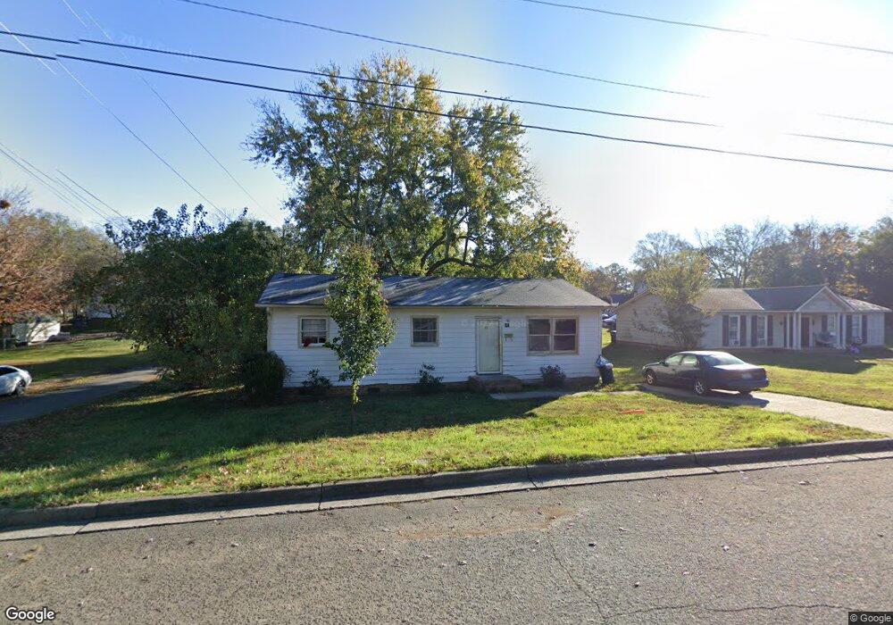
301 S Branch St Monroe, NC 28112
Estimated Value: $190,000 - $218,000
2
Beds
1
Bath
960
Sq Ft
$212/Sq Ft
Est. Value
About This Home
This home is located at 301 S Branch St, Monroe, NC 28112 and is currently estimated at $203,340, approximately $211 per square foot. 301 S Branch St is a home located in Union County with nearby schools including Walter Bickett Elementary School, Monroe Middle School, and Monroe High School.
Ownership History
Date
Name
Owned For
Owner Type
Purchase Details
Closed on
May 20, 2025
Sold by
Tucker Carol L
Bought by
Melton Corey Micheal and Preston Rebecca Ann
Current Estimated Value
Home Financials for this Owner
Home Financials are based on the most recent Mortgage that was taken out on this home.
Original Mortgage
$25,000
Outstanding Balance
$21,170
Interest Rate
6.64%
Mortgage Type
Seller Take Back
Estimated Equity
$182,170
Create a Home Valuation Report for This Property
The Home Valuation Report is an in-depth analysis detailing your home's value as well as a comparison with similar homes in the area
Purchase History
| Date | Buyer | Sale Price | Title Company |
|---|---|---|---|
| Melton Corey Micheal | $25,000 | None Listed On Document | |
| Melton Corey Micheal | $25,000 | None Listed On Document |
Source: Public Records
Mortgage History
| Date | Status | Borrower | Loan Amount |
|---|---|---|---|
| Open | Melton Corey Micheal | $25,000 | |
| Closed | Melton Corey Micheal | $25,000 |
Source: Public Records
Tax History
| Year | Tax Paid | Tax Assessment Tax Assessment Total Assessment is a certain percentage of the fair market value that is determined by local assessors to be the total taxable value of land and additions on the property. | Land | Improvement |
|---|---|---|---|---|
| 2025 | $1,400 | $160,100 | $0 | $0 |
| 2024 | $1,156 | $106,000 | $17,600 | $88,400 |
| 2023 | $1,156 | $106,000 | $17,600 | $88,400 |
| 2022 | $1,156 | $106,000 | $17,600 | $88,400 |
| 2021 | $1,156 | $106,000 | $17,600 | $88,400 |
| 2020 | $886 | $65,820 | $13,620 | $52,200 |
| 2019 | $886 | $65,820 | $13,620 | $52,200 |
| 2018 | $406 | $65,820 | $13,620 | $52,200 |
| 2017 | $900 | $65,800 | $13,600 | $52,200 |
| 2016 | $890 | $65,820 | $13,620 | $52,200 |
| 2015 | $511 | $65,820 | $13,620 | $52,200 |
| 2014 | $1,071 | $87,800 | $16,920 | $70,880 |
Source: Public Records
Map
Nearby Homes
- 114 S Branch St
- 903 W Franklin St
- 203 S Washington St
- 111 S Washington St
- 302 N Johnson St
- 1103 W Franklin St
- 1100 Lucille Ave
- 406 S Church St
- 301 E Windsor St
- 0 Labon St
- 415 Magnolia Dr
- 707 Summit St
- 1003 Oak Hill Dr Unit 24
- 501 Colony Rd
- 207 Maurice St
- 1022 Parker St
- 1104 Oak Hill Dr
- 1605 Secrest Commons Dr
- 1562 Secrest Commons Dr
- 1601 Secrest Commons Dr
- 300 S Branch St
- 207 S Branch St
- 306 S Branch St
- 306 Sanford St Unit A
- 300 Sanford St
- 206 Sanford St
- 805 Lane St
- 501 S Branch St
- 201a S Branch St
- 201 S Branch St Unit A
- 810 Lane St
- 400 Sanford St
- 803 Gordon St
- 200 S Branch St
- 806 Gordon St
- 200 Sanford St
- 805 Gordon St
- 404 Sanford St
- 404 Sanford St
- 505 S Branch St Unit A
Your Personal Tour Guide
Ask me questions while you tour the home.