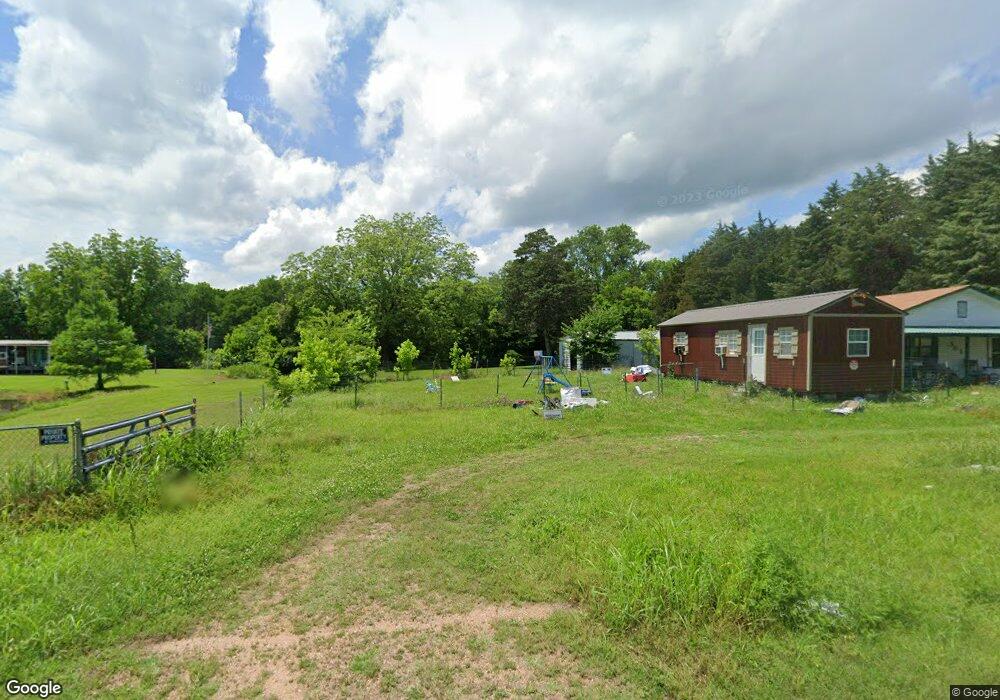
301 S Dexter St Ravia, OK 73455
Estimated Value: $51,000 - $117,308
3
Beds
2
Baths
1,296
Sq Ft
$64/Sq Ft
Est. Value
About This Home
This home is located at 301 S Dexter St, Ravia, OK 73455 and is currently estimated at $83,077, approximately $64 per square foot. 301 S Dexter St is a home with nearby schools including Ravia Public School.
Ownership History
Date
Name
Owned For
Owner Type
Purchase Details
Closed on
Mar 6, 2013
Sold by
Niblett Marie and Niblett Martha Marie
Bought by
Herron Floyd George
Current Estimated Value
Purchase Details
Closed on
Jun 21, 2011
Sold by
Luster Donald and Luster Vickie L
Bought by
Herron Floyd George
Purchase Details
Closed on
Mar 26, 2002
Sold by
Morse Hank Willis
Bought by
Herron Beatrice
Create a Home Valuation Report for This Property
The Home Valuation Report is an in-depth analysis detailing your home's value as well as a comparison with similar homes in the area
Home Values in the Area
Average Home Value in this Area
Purchase History
| Date | Buyer | Sale Price | Title Company |
|---|---|---|---|
| Herron Floyd George | -- | None Available | |
| Herron Floyd George | -- | -- | |
| Herron Beatrice | $20,000 | -- |
Source: Public Records
Tax History Compared to Growth
Tax History
| Year | Tax Paid | Tax Assessment Tax Assessment Total Assessment is a certain percentage of the fair market value that is determined by local assessors to be the total taxable value of land and additions on the property. | Land | Improvement |
|---|---|---|---|---|
| 2025 | $248 | $5,081 | $349 | $4,732 |
| 2024 | $248 | $4,933 | $339 | $4,594 |
| 2023 | $248 | $4,789 | $336 | $4,453 |
| 2022 | $230 | $4,650 | $328 | $4,322 |
| 2021 | $221 | $4,514 | $320 | $4,194 |
| 2020 | $213 | $4,383 | $313 | $4,070 |
| 2019 | $205 | $4,255 | $305 | $3,950 |
| 2018 | $260 | $4,132 | $299 | $3,833 |
| 2017 | $248 | $3,935 | $289 | $3,646 |
| 2016 | $236 | $3,748 | $275 | $3,473 |
| 2015 | $251 | $3,748 | $275 | $3,473 |
| 2014 | $248 | $3,748 | $275 | $3,473 |
Source: Public Records
Map
Nearby Homes
- 302 Dexter St
- 205 E Washington Ave
- 0 Canada Unit 2515004
- 1600 Foxtail Dr
- 5200 W Wildlife Ln
- 6806 Rock Creek Loop
- 501 N Western
- 9550 Us Hwy 377 S
- 1429 Easy St
- 1427 Easy St
- 1431 Easy St
- 0 Elks Rd Unit 2525848
- 6 Brandy Ln
- 5 Brandy Ln
- 0 Elk Rd Unit 2525852
- Slippery Falls Rd
- Slippery Falls Rd
- 0000 N 3550 Rd
- 306 S Kemp Ave
- 1500 E Hankins Ln