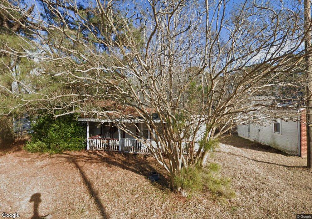
301 S Square Dr Littleton, NC 27850
Estimated Value: $74,505 - $168,000
2
Beds
1
Bath
1,176
Sq Ft
$99/Sq Ft
Est. Value
About This Home
This home is located at 301 S Square Dr, Littleton, NC 27850 and is currently estimated at $116,168, approximately $98 per square foot. 301 S Square Dr is a home with nearby schools including Everetts Elementary School, William R. Davie Middle School, and Northwest Halifax High School.
Ownership History
Date
Name
Owned For
Owner Type
Purchase Details
Closed on
Jul 5, 2024
Sold by
Lee Larry Nathan
Bought by
Lee Larry Nathan and Lee Mercedes L
Current Estimated Value
Purchase Details
Closed on
Sep 4, 2018
Sold by
Purnell Robert A and Purnell Hattie B
Bought by
Lee Larry N
Purchase Details
Closed on
Jul 20, 2005
Sold by
Johnson Jason and Johnson Paul
Bought by
Purnell Robert A and Purnell Hattie B
Create a Home Valuation Report for This Property
The Home Valuation Report is an in-depth analysis detailing your home's value as well as a comparison with similar homes in the area
Home Values in the Area
Average Home Value in this Area
Purchase History
| Date | Buyer | Sale Price | Title Company |
|---|---|---|---|
| Lee Larry Nathan | -- | None Listed On Document | |
| Lee Larry Nathan | -- | None Listed On Document | |
| Lee Larry N | -- | -- | |
| Purnell Robert A | $9,000 | None Available |
Source: Public Records
Tax History Compared to Growth
Tax History
| Year | Tax Paid | Tax Assessment Tax Assessment Total Assessment is a certain percentage of the fair market value that is determined by local assessors to be the total taxable value of land and additions on the property. | Land | Improvement |
|---|---|---|---|---|
| 2025 | $6 | $37,400 | $5,700 | $31,700 |
| 2024 | $6 | $37,400 | $5,700 | $31,700 |
| 2023 | $618 | $41,000 | $5,700 | $35,300 |
| 2022 | $620 | $41,000 | $5,700 | $35,300 |
| 2021 | $597 | $41,000 | $5,700 | $35,300 |
| 2020 | $597 | $41,000 | $5,700 | $35,300 |
| 2019 | $563 | $36,900 | $5,700 | $31,200 |
| 2018 | $562 | $36,900 | $5,700 | $31,200 |
| 2017 | $553 | $36,900 | $5,700 | $31,200 |
| 2016 | $523 | $36,900 | $5,700 | $31,200 |
| 2015 | $493 | $36,900 | $5,700 | $31,200 |
| 2014 | $499 | $41,460 | $6,110 | $35,350 |
Source: Public Records
Map
Nearby Homes
- 0 Short St
- 332 Ferguson St
- 401 Mosby Ave
- 328 Mosby Ave
- 114 College St
- 110 Johnston St
- 100 Miles St
- 9 Shadowbrook Dr
- 27 Mulberry Cir
- Lot 1 U S 158
- 6472 Us Highway 158 E
- 0 Oak St
- 0 E End Ave
- Tbd E End
- 1019 Bowers Rd
- 0 Hwy 903 Elams Rd Unit 138748
- 0 Bill Skinner Rd Unit LotWP002
- TBD Highway 903
- 1227 Roanoke Chapel Rd
- 1291 Roanoke Chapel Rd