301 Scotts Point Rd Eddington, ME 04428
Estimated Value: $438,000 - $516,051
--
Bed
--
Bath
--
Sq Ft
0.4
Acres
About This Home
This home is located at 301 Scotts Point Rd, Eddington, ME 04428 and is currently estimated at $481,350. 301 Scotts Point Rd is a home located in Penobscot County.
Ownership History
Date
Name
Owned For
Owner Type
Purchase Details
Closed on
Sep 25, 2009
Sold by
Pelletier Gary and Pelletier Michelle
Bought by
Greer Joshua
Current Estimated Value
Home Financials for this Owner
Home Financials are based on the most recent Mortgage that was taken out on this home.
Original Mortgage
$176,000
Interest Rate
5.31%
Mortgage Type
Unknown
Create a Home Valuation Report for This Property
The Home Valuation Report is an in-depth analysis detailing your home's value as well as a comparison with similar homes in the area
Home Values in the Area
Average Home Value in this Area
Purchase History
| Date | Buyer | Sale Price | Title Company |
|---|---|---|---|
| Greer Joshua | -- | -- | |
| Greer Joshua | -- | -- |
Source: Public Records
Mortgage History
| Date | Status | Borrower | Loan Amount |
|---|---|---|---|
| Open | Greer Joshua | $175,894 | |
| Closed | Greer Joshua | $176,000 |
Source: Public Records
Tax History Compared to Growth
Tax History
| Year | Tax Paid | Tax Assessment Tax Assessment Total Assessment is a certain percentage of the fair market value that is determined by local assessors to be the total taxable value of land and additions on the property. | Land | Improvement |
|---|---|---|---|---|
| 2024 | $4,156 | $210,418 | $83,060 | $127,358 |
| 2023 | $3,651 | $210,418 | $83,060 | $127,358 |
| 2022 | $3,440 | $210,418 | $83,060 | $127,358 |
| 2021 | $3,450 | $198,840 | $83,060 | $115,780 |
| 2020 | $3,519 | $198,840 | $83,060 | $115,780 |
| 2019 | $3,321 | $198,840 | $83,060 | $115,780 |
| 2018 | $3,102 | $198,840 | $83,060 | $115,780 |
| 2017 | $3,191 | $198,840 | $83,060 | $115,780 |
| 2016 | $2,993 | $198,840 | $83,060 | $115,780 |
| 2015 | $2,839 | $198,840 | $83,060 | $115,780 |
| 2014 | $2,839 | $198,840 | $83,060 | $115,780 |
Source: Public Records
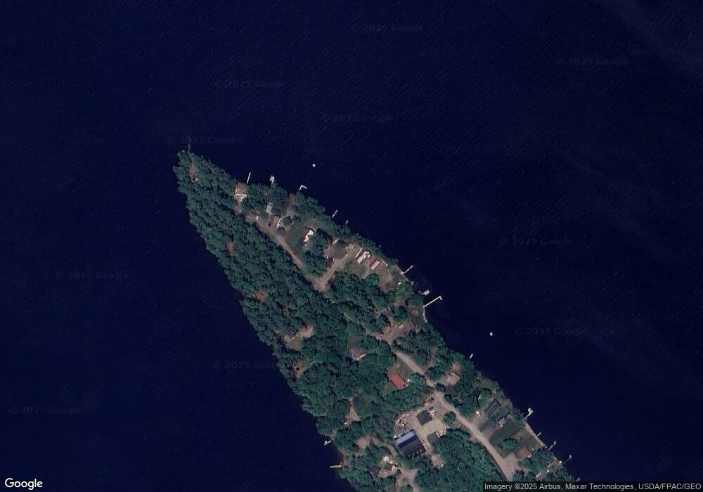
Map
Nearby Homes
- 386 Airline Rd
- Lot 10-1 Airline Rd
- 93 Forestry Ln
- Lot 15-1 Forestry Ln
- Lot 16 Forestry Ln
- Lot 17 Forestry Ln
- 46 Pond Rd
- 1068 Main Rd
- Map7 Lot14 Chestnut Ln
- 0 Tbd Chemo Pond Rd
- 36 Comins Ln
- 00 Bradbury Brook Rd
- Lot 12 Katahdin Way
- 40 Katahdin Way
- 5 Chick Hill Rd
- 271 Clark Hill Rd
- 451 Levenseller Rd
- M2L1 Springy Pond Rd
- 12 Paradise Cove
- 10 Coffey Hill Way
- 305 Scotts Point Rd
- 309 Scotts Point Rd
- 285 Scotts Point Rd
- 275 Scotts Point Rd
- 275 Scott's Point Rd
- 306 Scotts Point Rd
- 302 Scotts Point Rd
- 311 Scotts Point Rd
- 295 Scott Point Rd
- 300 Scotts Point Rd
- 305 Scotts Point Rd
- 315 Scotts Point Rd
- 278 Scotts Point Rd
- 279 Scotts Point Rd
- 279 Scott Point Rd
- 319 Scotts Point Rd
- 290 Scott Point Rd
- 290 Scotts Point Rd
- 265 Scotts Point Rd
- 272 Scotts Point Rd