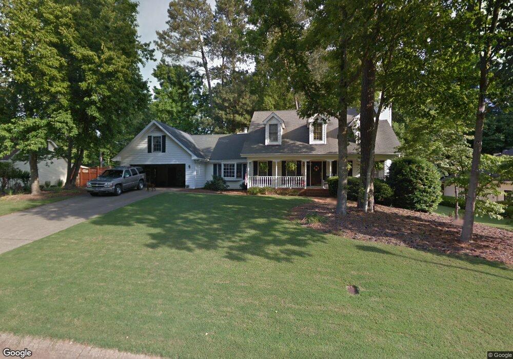
301 Shore Dr Unit 2 Suwanee, GA 30024
Estimated Value: $409,761 - $471,000
4
Beds
3
Baths
2,287
Sq Ft
$192/Sq Ft
Est. Value
About This Home
This home is located at 301 Shore Dr Unit 2, Suwanee, GA 30024 and is currently estimated at $438,440, approximately $191 per square foot. 301 Shore Dr Unit 2 is a home located in Gwinnett County with nearby schools including Walnut Grove Elementary School, Creekland Middle School, and Collins Hill High School.
Ownership History
Date
Name
Owned For
Owner Type
Purchase Details
Closed on
Sep 8, 2004
Sold by
Vollendorf Trust
Bought by
Tait Jeffrey C and Tait Jamie
Current Estimated Value
Home Financials for this Owner
Home Financials are based on the most recent Mortgage that was taken out on this home.
Original Mortgage
$24,950
Interest Rate
6.01%
Mortgage Type
Unknown
Purchase Details
Closed on
Jan 21, 2000
Sold by
Vollendorf William M and Vollendorf Anne E
Bought by
Vollendorf Trust
Create a Home Valuation Report for This Property
The Home Valuation Report is an in-depth analysis detailing your home's value as well as a comparison with similar homes in the area
Home Values in the Area
Average Home Value in this Area
Purchase History
| Date | Buyer | Sale Price | Title Company |
|---|---|---|---|
| Tait Jeffrey C | $205,000 | -- | |
| Vollendorf Trust | -- | -- |
Source: Public Records
Mortgage History
| Date | Status | Borrower | Loan Amount |
|---|---|---|---|
| Closed | Tait Jeffrey C | $24,950 | |
| Open | Tait Jeffrey C | $159,500 |
Source: Public Records
Tax History Compared to Growth
Tax History
| Year | Tax Paid | Tax Assessment Tax Assessment Total Assessment is a certain percentage of the fair market value that is determined by local assessors to be the total taxable value of land and additions on the property. | Land | Improvement |
|---|---|---|---|---|
| 2025 | $4,556 | $160,640 | $28,000 | $132,640 |
| 2024 | $4,303 | $142,000 | $31,600 | $110,400 |
| 2023 | $4,303 | $142,000 | $31,600 | $110,400 |
| 2022 | $4,037 | $130,880 | $26,000 | $104,880 |
| 2021 | $3,770 | $115,240 | $26,000 | $89,240 |
| 2020 | $3,657 | $108,800 | $26,000 | $82,800 |
| 2019 | $3,396 | $101,480 | $19,600 | $81,880 |
| 2018 | $3,068 | $86,240 | $19,600 | $66,640 |
| 2016 | $3,090 | $86,240 | $19,600 | $66,640 |
| 2015 | $2,901 | $77,000 | $19,600 | $57,400 |
| 2014 | $2,916 | $77,000 | $19,600 | $57,400 |
Source: Public Records
Map
Nearby Homes
- 267 Arbour Way
- 318 Arbour Way Unit 4
- 2315 Prosperity Way Unit 2
- 2372 Merrymount Dr Unit 2
- 2370 Cape Courage Way
- 2265 Wildwood Lake Dr
- 2538 Brynfield Cove
- 118 Basil Ct
- 2140 Deer Trail
- 327 Lee Miller Dr
- 2124 York River Way Unit 1
- 2167 Merrymount Dr
- 318 Lee Miller Dr
- 1953 Frisco Way
- 2512 Herndon Rd
- 487 Danville Ave
- 2375 Walnut Grove Way
- 291 Shore Dr
- 311 Shore Dr
- 228 Arbour Run
- 238 Arbour Run
- 281 Shore Dr Unit 2
- 321 Shore Dr
- 300 Shore Dr
- 248 Arbour Run
- 290 Shore Dr
- 218 Arbour Run
- 310 Shore Dr
- 280 Shore Dr
- 258 Arbour Run
- 331 Shore Dr
- 208 Arbour Run Unit 5
- 275 Shore Dr Unit 29
- 275 Shore Dr
- 270 Shore Dr
- 399 Windshore Ct
- 399 Windshore Ct Unit II