301 Swift View Dr Cougar, WA 98616
Estimated Value: $370,000 - $583,000
2
Beds
2
Baths
1,088
Sq Ft
$442/Sq Ft
Est. Value
About This Home
This home is located at 301 Swift View Dr, Cougar, WA 98616 and is currently estimated at $481,300, approximately $442 per square foot. 301 Swift View Dr is a home with nearby schools including Carson Elementary School, Stevenson Elementary School, and Wind River Middle School.
Ownership History
Date
Name
Owned For
Owner Type
Purchase Details
Closed on
May 12, 2016
Sold by
Wochnick Brodie and Wochnick Lori
Bought by
Wochnick Brodie
Current Estimated Value
Purchase Details
Closed on
Sep 10, 2013
Sold by
Wochnick Brodie D and Wochnick Lori J
Bought by
Wochnick Brodie Daniel and Wochnick Lori Jean
Purchase Details
Closed on
Feb 1, 2010
Sold by
Rolf David E and Rolf Doni Lyn
Bought by
Wochnick Brodie D and Wochnick Lori J
Home Financials for this Owner
Home Financials are based on the most recent Mortgage that was taken out on this home.
Original Mortgage
$184,500
Outstanding Balance
$122,596
Interest Rate
5.11%
Mortgage Type
New Conventional
Estimated Equity
$358,704
Create a Home Valuation Report for This Property
The Home Valuation Report is an in-depth analysis detailing your home's value as well as a comparison with similar homes in the area
Home Values in the Area
Average Home Value in this Area
Purchase History
| Date | Buyer | Sale Price | Title Company |
|---|---|---|---|
| Wochnick Brodie | -- | None Available | |
| Wochnick Brodie Daniel | -- | None Available | |
| Wochnick Brodie D | $205,000 | Skamania County Title Compan |
Source: Public Records
Mortgage History
| Date | Status | Borrower | Loan Amount |
|---|---|---|---|
| Open | Wochnick Brodie D | $184,500 |
Source: Public Records
Tax History Compared to Growth
Tax History
| Year | Tax Paid | Tax Assessment Tax Assessment Total Assessment is a certain percentage of the fair market value that is determined by local assessors to be the total taxable value of land and additions on the property. | Land | Improvement |
|---|---|---|---|---|
| 2025 | $2,639 | $325,300 | $122,500 | $202,800 |
| 2024 | $2,439 | $294,600 | $112,000 | $182,600 |
| 2023 | $2,574 | $294,600 | $112,000 | $182,600 |
| 2022 | $2,288 | $233,000 | $108,000 | $125,000 |
| 2021 | $2,373 | $233,000 | $108,000 | $125,000 |
| 2020 | $2,431 | $233,000 | $108,000 | $125,000 |
| 2019 | $2,208 | $233,000 | $108,000 | $125,000 |
| 2018 | $2,517 | $233,000 | $108,000 | $125,000 |
| 2017 | $2,024 | $233,000 | $108,000 | $125,000 |
| 2015 | $2,082 | $220,000 | $108,000 | $112,000 |
| 2013 | -- | $220,000 | $108,000 | $112,000 |
Source: Public Records
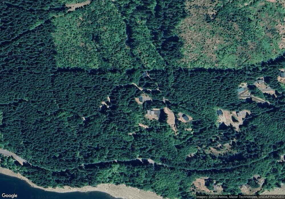
Map
Nearby Homes
- 0 Parcel 0706340003030 Unit NWM2383050
- 0 Cabin 25 Northwoods Unit 741048385
- 0 Cabin 41 Northwoods Unit 128081410
- 0 Unit 198768199
- 172 Northwoods Cabin
- 0 Cabin 157 Northwoods Unit 160030743
- 0 Unit 475997083
- 0 Cabin 62 Northwoods Unit 511272845
- 0000 Parcel 0706340003030
- 192 Sasquatch Way
- 2 Lahar Ln Unit A
- 2 Lahar Ln
- 1 A Lahar Ln
- 2 Phyllis Ann Block Ct
- 3 Phyllis Ann Block Ct
- 8 Lahar Ln
- 2 A Lahar Ln
- 1 Lodgepole Ln
- 0 Lahar Ln Unit 8 20357887
- 0 Lahar Ln Unit 9 569042354
- 211 Swift Creek
- 252 Swift View Dr
- 0 N Shore Sp-3 Monarch Rd Unit 17201866
- 42 Swift Cove Pvt
- 3 Monarch Rd
- 61 Swift Creek
- 231 Monarch Rd
- 0 Null Unit 19576410
- 0 Null Unit 17 18453118
- 0 Null Unit 20317127
- 0 Null Unit 19275895
- 2 Sp2 Monarch Rd Unit 2
- 111 Monarch Rd
- 0 N Shore Dr Unit SP1 18592900
- 261 Monarch Rd
- 0 Dallas Unit 17305471
- 0 Amanda's Hideout Lot 4 Unit 1141282
- 1 Northshore Short Plat
- 3 Borstad Ln