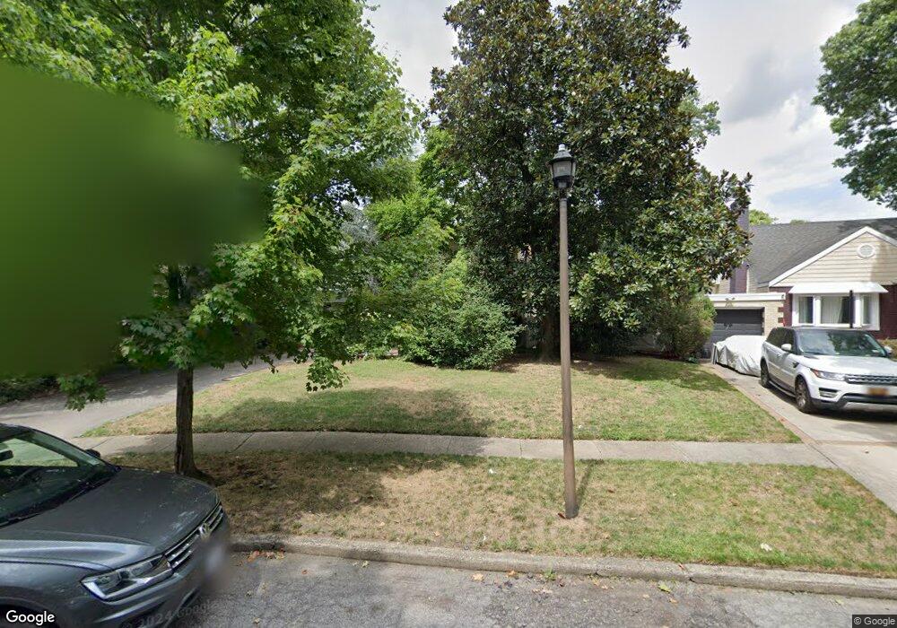
301 Taylor Rd West Hempstead, NY 11552
Estimated Value: $806,715 - $872,000
3
Beds
2
Baths
1,557
Sq Ft
$539/Sq Ft
Est. Value
About This Home
This home is located at 301 Taylor Rd, West Hempstead, NY 11552 and is currently estimated at $839,358, approximately $539 per square foot. 301 Taylor Rd is a home located in Nassau County with nearby schools including Chestnut Street School, West Hempstead Middle School, and West Hempstead Secondary School.
Ownership History
Date
Name
Owned For
Owner Type
Purchase Details
Closed on
Apr 21, 2011
Sold by
Lim Roy A and Lim Diane T
Bought by
Devito Joseph and Devito Diane
Current Estimated Value
Home Financials for this Owner
Home Financials are based on the most recent Mortgage that was taken out on this home.
Original Mortgage
$262,500
Outstanding Balance
$167,444
Interest Rate
3.25%
Mortgage Type
Purchase Money Mortgage
Estimated Equity
$671,914
Create a Home Valuation Report for This Property
The Home Valuation Report is an in-depth analysis detailing your home's value as well as a comparison with similar homes in the area
Home Values in the Area
Average Home Value in this Area
Purchase History
| Date | Buyer | Sale Price | Title Company |
|---|---|---|---|
| Devito Joseph | $350,000 | -- |
Source: Public Records
Mortgage History
| Date | Status | Borrower | Loan Amount |
|---|---|---|---|
| Open | Devito Joseph | $262,500 |
Source: Public Records
Tax History Compared to Growth
Tax History
| Year | Tax Paid | Tax Assessment Tax Assessment Total Assessment is a certain percentage of the fair market value that is determined by local assessors to be the total taxable value of land and additions on the property. | Land | Improvement |
|---|---|---|---|---|
| 2025 | $11,444 | $475 | $244 | $231 |
| 2024 | $3,724 | $484 | $249 | $235 |
| 2023 | $10,797 | $506 | $260 | $246 |
| 2022 | $10,797 | $506 | $260 | $246 |
| 2021 | $14,113 | $483 | $248 | $235 |
| 2020 | $10,003 | $661 | $541 | $120 |
| 2019 | $10,064 | $661 | $420 | $241 |
| 2018 | $9,382 | $852 | $0 | $0 |
| 2017 | $7,387 | $852 | $541 | $311 |
| 2016 | $11,272 | $852 | $541 | $311 |
| 2015 | $3,602 | $852 | $508 | $344 |
| 2014 | $3,602 | $852 | $508 | $344 |
| 2013 | $3,373 | $852 | $541 | $311 |
Source: Public Records
Map
Nearby Homes
- 853 Arthur St
- 899 Cleveland St
- 841 Harrison St
- 450 Rhodes Ln
- 0 Rhodes Ln
- 757 Harrison St
- 1010 Hempstead Ave
- 841 Woodfield Rd
- 729 Janos Ln
- 747 Janos Ln
- 618 Wall St
- 771 Maple Place
- 321 Oakford St
- 924 Otsego Ct
- 350 Coventry Rd N
- 55 Melvin Ave
- 10 Atlas Ave
- 919 Pinelake Dr
- 966 Woodfield Rd
- 538 Champlain Ave