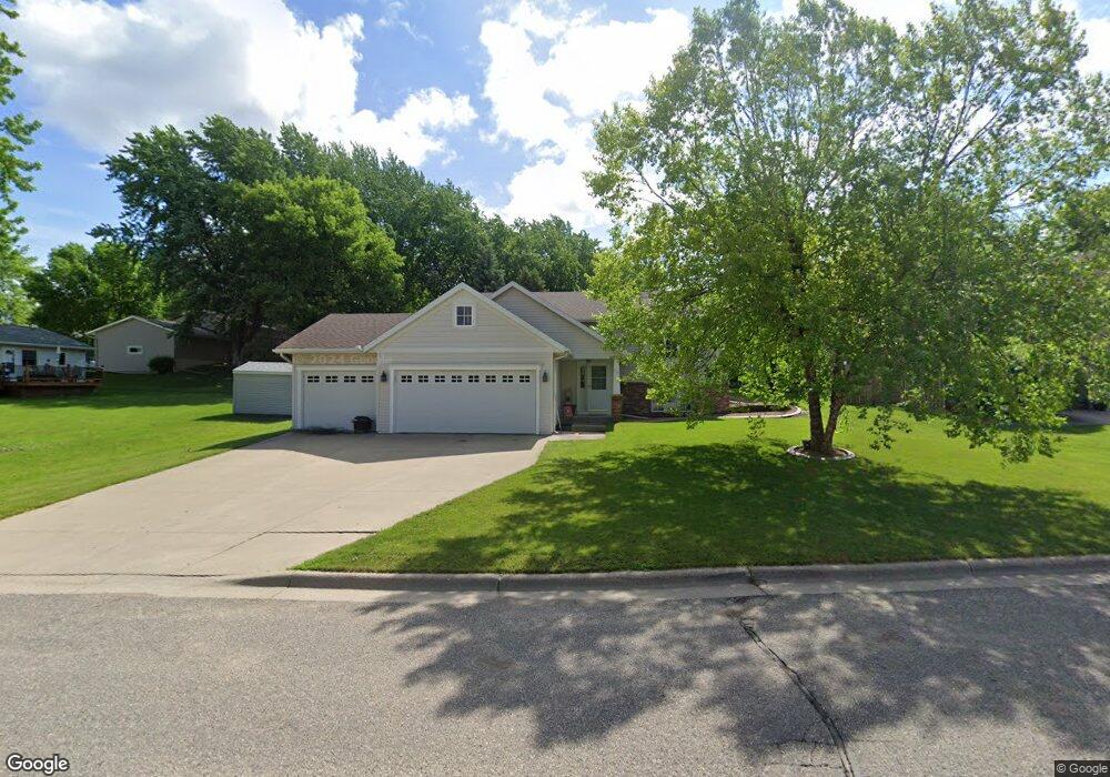
301 Thomas Dr Eagle Lake, MN 56024
Estimated Value: $331,000 - $363,000
4
Beds
2
Baths
1,232
Sq Ft
$281/Sq Ft
Est. Value
About This Home
This home is located at 301 Thomas Dr, Eagle Lake, MN 56024 and is currently estimated at $346,751, approximately $281 per square foot. 301 Thomas Dr is a home located in Blue Earth County with nearby schools including Eagle Lake Elementary School, Prairie Winds Middle School, and Mankato East Senior High School.
Ownership History
Date
Name
Owned For
Owner Type
Purchase Details
Closed on
May 15, 2007
Sold by
Heckathorn Thomas L and Heckathorn Christine J
Bought by
Mason Robert L and Mason Jill A
Current Estimated Value
Home Financials for this Owner
Home Financials are based on the most recent Mortgage that was taken out on this home.
Original Mortgage
$218,000
Outstanding Balance
$132,964
Interest Rate
6.22%
Mortgage Type
VA
Estimated Equity
$213,787
Create a Home Valuation Report for This Property
The Home Valuation Report is an in-depth analysis detailing your home's value as well as a comparison with similar homes in the area
Home Values in the Area
Average Home Value in this Area
Purchase History
| Date | Buyer | Sale Price | Title Company |
|---|---|---|---|
| Mason Robert L | $218,000 | -- |
Source: Public Records
Mortgage History
| Date | Status | Borrower | Loan Amount |
|---|---|---|---|
| Open | Mason Robert L | $218,000 |
Source: Public Records
Tax History
| Year | Tax Paid | Tax Assessment Tax Assessment Total Assessment is a certain percentage of the fair market value that is determined by local assessors to be the total taxable value of land and additions on the property. | Land | Improvement |
|---|---|---|---|---|
| 2025 | $304 | $342,800 | $44,200 | $298,600 |
| 2024 | $304 | $324,600 | $44,000 | $280,600 |
| 2023 | $20 | $336,100 | $44,000 | $292,100 |
| 2022 | $20 | $280,900 | $44,000 | $236,900 |
| 2021 | $20 | $259,600 | $44,000 | $215,600 |
| 2020 | $20 | $244,400 | $44,000 | $200,400 |
| 2019 | $20 | $244,400 | $44,000 | $200,400 |
| 2018 | $20 | $242,300 | $44,000 | $198,300 |
| 2017 | $20 | $230,900 | $44,000 | $186,900 |
| 2016 | $20 | $208,100 | $44,000 | $164,100 |
| 2015 | $6 | $208,100 | $44,000 | $164,100 |
| 2014 | $546 | $195,100 | $44,000 | $151,100 |
Source: Public Records
Map
Nearby Homes
- 140 Peggy Ln
- 0 Owl Ln
- 101 Hawk Ave
- 409 Owl Ln
- 113 Blace Ave
- 0 Hawk Ave
- 0 Peregrine Ave Unit 7035018
- 310 Falcon Run
- 320 Falcon Run
- 309 Falcon Run
- 306 Falcon Run
- 0 Gray Fox Path Unit 7038986
- 0 Gray Fox Path Unit 7038985
- 0 Gray Fox Path Unit 7038984
- 105 Gray Fox Path
- 0 White Fox Path Unit 7038988
- 0 White Fox Path Unit 7038991
- 0 White Fox Path Unit 7038990
- 0 White Fox Path Unit 7038989
- 0 White Fox Path Unit 7038987
Your Personal Tour Guide
Ask me questions while you tour the home.