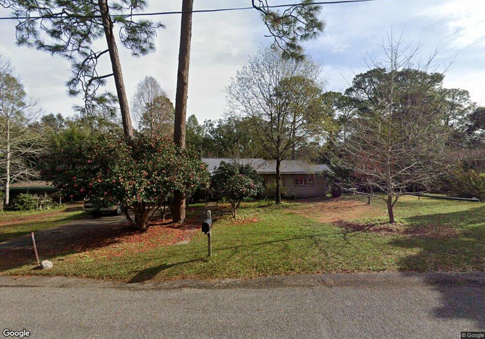
301 Thornton Place Mobile, AL 36609
Jackson Heights NeighborhoodEstimated Value: $197,551 - $260,000
2
Beds
2
Baths
1,802
Sq Ft
$123/Sq Ft
Est. Value
About This Home
This home is located at 301 Thornton Place, Mobile, AL 36609 and is currently estimated at $221,888, approximately $123 per square foot. 301 Thornton Place is a home located in Mobile County with nearby schools including Elizabeth Fonde Elementary School, Elizabeth S Chastang-Fournier K-8 School, and WP Davidson High School.
Ownership History
Date
Name
Owned For
Owner Type
Purchase Details
Closed on
Jan 29, 1999
Sold by
Broderick Dorothy L and Broderick Lynne B
Bought by
Mcpherson Bertice A
Current Estimated Value
Home Financials for this Owner
Home Financials are based on the most recent Mortgage that was taken out on this home.
Original Mortgage
$65,050
Outstanding Balance
$15,370
Interest Rate
6.72%
Estimated Equity
$206,518
Create a Home Valuation Report for This Property
The Home Valuation Report is an in-depth analysis detailing your home's value as well as a comparison with similar homes in the area
Home Values in the Area
Average Home Value in this Area
Purchase History
| Date | Buyer | Sale Price | Title Company |
|---|---|---|---|
| Mcpherson Bertice A | $68,550 | -- |
Source: Public Records
Mortgage History
| Date | Status | Borrower | Loan Amount |
|---|---|---|---|
| Open | Mcpherson Bertice A | $65,050 |
Source: Public Records
Tax History Compared to Growth
Tax History
| Year | Tax Paid | Tax Assessment Tax Assessment Total Assessment is a certain percentage of the fair market value that is determined by local assessors to be the total taxable value of land and additions on the property. | Land | Improvement |
|---|---|---|---|---|
| 2024 | -- | $14,630 | $2,800 | $11,830 |
| 2023 | $0 | $14,450 | $2,800 | $11,650 |
| 2022 | $0 | $12,510 | $3,300 | $9,210 |
| 2021 | $682 | $22,400 | $5,500 | $16,900 |
| 2020 | $682 | $22,400 | $5,500 | $16,900 |
| 2019 | $682 | $21,420 | $5,500 | $15,920 |
| 2018 | $682 | $10,740 | $0 | $0 |
| 2017 | $679 | $10,700 | $0 | $0 |
| 2016 | $695 | $10,940 | $0 | $0 |
| 2013 | $639 | $9,840 | $0 | $0 |
Source: Public Records
Map
Nearby Homes
- 728 Spring Station Rd
- 308 Mcqueen Ave
- 745 Westmoreland Dr E
- 363 Mcqueen Ave
- 708 Spring Oaks Ct
- 0 Bellevue Ln
- 4256 Michael Blvd
- 365 Bourgeois Cir
- 236 Lakewood Dr E
- 3955 Bourgeois Dr
- 417 Thornton Place
- 241 Suzanne Cir
- 312 Gaines Ave
- 3983 Wimbledon Park
- 275 Hillcrest Dr
- 233 Suzanne Cir
- 4309 Packingham Dr
- 3972 Wimbledon Park
- 4317 Packingham Dr
- 4457 Suzanne Cir
- 305 Thornton Place
- 824 Country Club Ct
- 828 Country Club Ct
- 300 Dawn Place
- 816 Country Club Ct
- 309 Thornton Place
- 304 Dawn Place
- 300 Thornton Place
- 742 Westmoreland Dr W
- 308 Dawn Place
- 306 Thornton Place
- 812 Country Club Ct
- 4063 Westmoreland Dr S
- 823 Country Club Ct
- 808 Country Club Ct
- 313 Thornton Place
- 314 Dawn Place
- 736 Westmoreland Dr W
- 804 Country Club Ct
- 312 Thornton Place