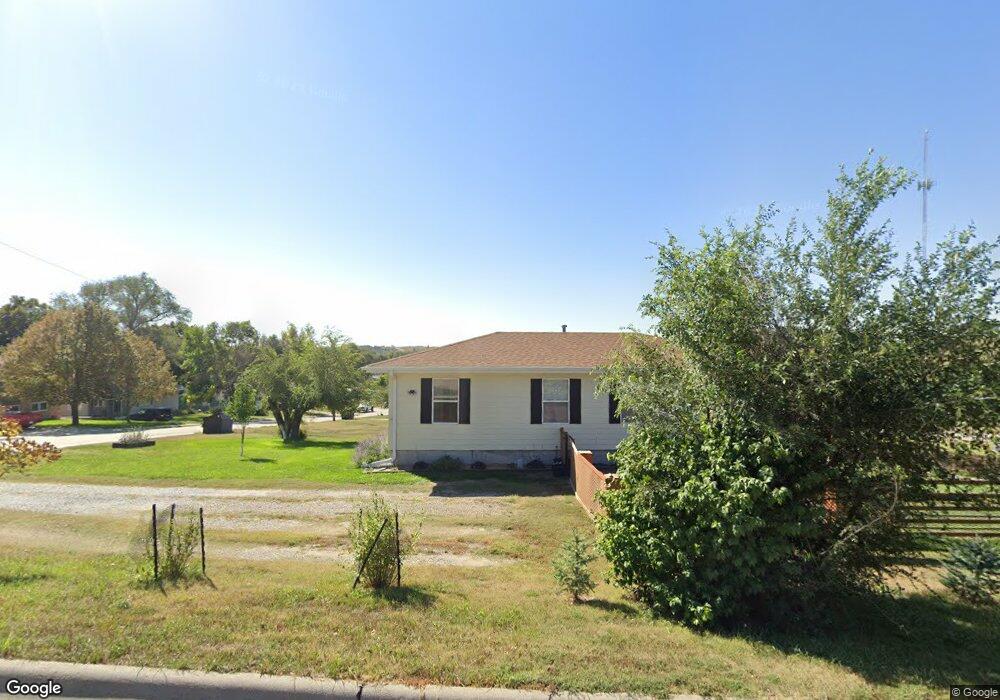
301 W 9th St Curtis, NE 69025
Estimated Value: $141,000 - $170,000
3
Beds
1
Bath
1,008
Sq Ft
$151/Sq Ft
Est. Value
About This Home
This home is located at 301 W 9th St, Curtis, NE 69025 and is currently estimated at $152,114, approximately $150 per square foot. 301 W 9th St is a home located in Frontier County with nearby schools including Medicine Valley Elementary School and Medicine Valley Junior/Senior High School.
Ownership History
Date
Name
Owned For
Owner Type
Purchase Details
Closed on
Oct 6, 2022
Sold by
Given Barbara J and Given William
Bought by
Lenz Landon M and Fugate Taylor J
Current Estimated Value
Home Financials for this Owner
Home Financials are based on the most recent Mortgage that was taken out on this home.
Original Mortgage
$128,282
Outstanding Balance
$123,984
Interest Rate
6.7%
Mortgage Type
New Conventional
Estimated Equity
$28,130
Purchase Details
Closed on
Apr 28, 2020
Sold by
Community Affordable Housing Inc
Bought by
Given Barbara J
Home Financials for this Owner
Home Financials are based on the most recent Mortgage that was taken out on this home.
Original Mortgage
$66,495
Interest Rate
3.3%
Mortgage Type
VA
Create a Home Valuation Report for This Property
The Home Valuation Report is an in-depth analysis detailing your home's value as well as a comparison with similar homes in the area
Purchase History
| Date | Buyer | Sale Price | Title Company |
|---|---|---|---|
| Lenz Landon M | $127,000 | -- | |
| Given Barbara J | $87,222 | None Available |
Source: Public Records
Mortgage History
| Date | Status | Borrower | Loan Amount |
|---|---|---|---|
| Open | Lenz Landon M | $128,282 | |
| Previous Owner | Given Barbara J | $66,495 |
Source: Public Records
Tax History
| Year | Tax Paid | Tax Assessment Tax Assessment Total Assessment is a certain percentage of the fair market value that is determined by local assessors to be the total taxable value of land and additions on the property. | Land | Improvement |
|---|---|---|---|---|
| 2025 | $1,787 | $129,673 | $17,286 | $112,387 |
| 2024 | $2,331 | $129,673 | $17,286 | $112,387 |
| 2023 | $1,613 | $119,276 | $8,643 | $110,633 |
| 2022 | $1,613 | $87,061 | $8,643 | $78,418 |
| 2021 | $1,599 | $87,061 | $8,643 | $78,418 |
| 2020 | $1,470 | $80,136 | $4,443 | $75,693 |
| 2019 | $1,468 | $80,136 | $4,443 | $75,693 |
| 2018 | $1,492 | $80,136 | $4,443 | $75,693 |
| 2017 | $1,469 | $80,136 | $4,443 | $75,693 |
| 2016 | $1,060 | $57,767 | $5,717 | $52,050 |
| 2015 | $998 | $57,767 | $5,717 | $52,050 |
| 2014 | $1,047 | $57,767 | $5,717 | $52,050 |
Source: Public Records
Map
Nearby Homes
- 411 Center Ave
- 403 Pope Ave
- 304 Pope Ave
- 401 Howard Ave
- 506 Prentiss Ave
- 39235 Road 749
- 107 & 109 W Oak St
- 25620 E Cut Across Rd
- 0 Tbd Road 402
- Road 379
- 41995 E Highway 23
- Road 739
- Road 739
- Unnamed Rd
- 110 Main St Unit Lots 6-12 Block 14
- 609 Lincoln St
- 522 Main St
- 404 Dawson St
- 524 Dawson
- TBD Brady Moorefield Rd
Your Personal Tour Guide
Ask me questions while you tour the home.