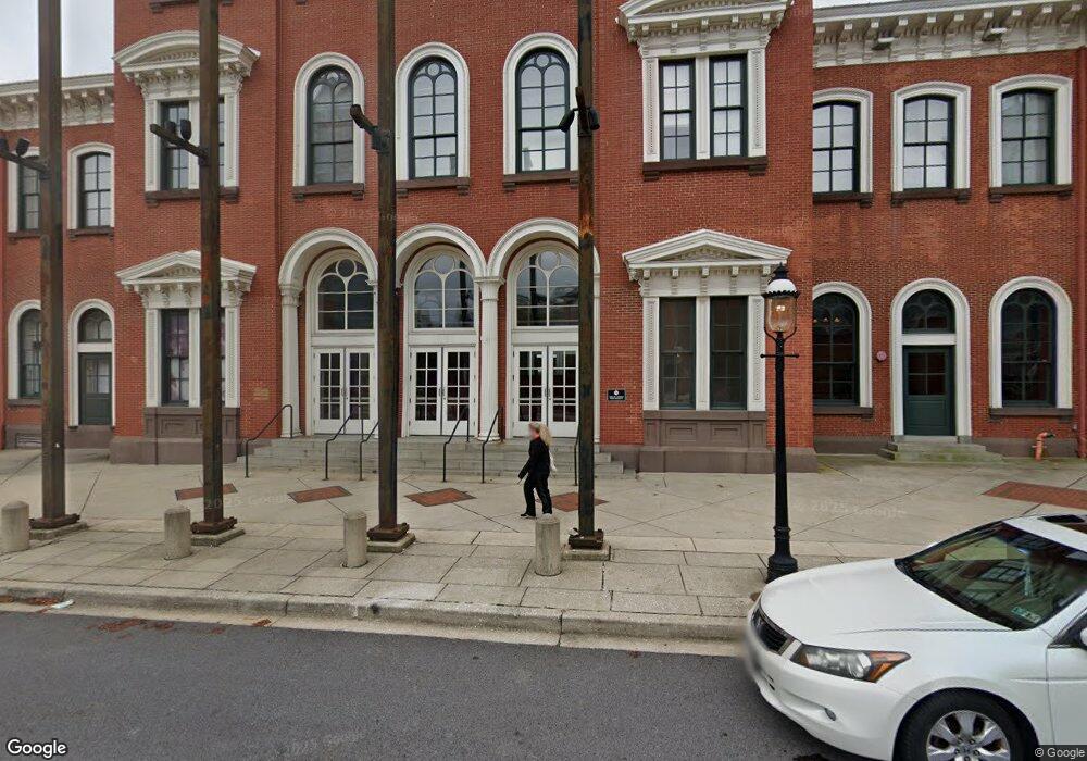
301 W Camden St Baltimore, MD 21201
--
Bed
--
Bath
321,500
Sq Ft
26.79
Acres
About This Home
This home is located at 301 W Camden St, Baltimore, MD 21201. 301 W Camden St is a home located in Baltimore City with nearby schools including George Washington Elementary School, Booker T. Washington Middle School, and Paul Laurence Dunbar High School.
Ownership History
Date
Name
Owned For
Owner Type
Purchase Details
Closed on
Apr 12, 2023
Sold by
Mosby Delene M
Bought by
Mid Atlantic Home Group Inc
Purchase Details
Closed on
Apr 10, 2023
Sold by
Johnson Investment Group Llc
Bought by
Baltimore Grows Llc
Purchase Details
Closed on
Mar 9, 2023
Sold by
Freedom Port Llc
Bought by
Diaz Elizabeth
Purchase Details
Closed on
Feb 16, 2022
Sold by
Maryland Stadium Authority
Bought by
Md Transit Administration
Create a Home Valuation Report for This Property
The Home Valuation Report is an in-depth analysis detailing your home's value as well as a comparison with similar homes in the area
Home Values in the Area
Average Home Value in this Area
Purchase History
| Date | Buyer | Sale Price | Title Company |
|---|---|---|---|
| Mid Atlantic Home Group Inc | $87,000 | None Listed On Document | |
| Baltimore Grows Llc | $82,500 | Universal Title | |
| Diaz Elizabeth | $185,000 | None Listed On Document | |
| Md Transit Administration | $7,140,000 | None Listed On Document |
Source: Public Records
Tax History Compared to Growth
Tax History
| Year | Tax Paid | Tax Assessment Tax Assessment Total Assessment is a certain percentage of the fair market value that is determined by local assessors to be the total taxable value of land and additions on the property. | Land | Improvement |
|---|---|---|---|---|
| 2025 | $392,347 | $63,803,333 | -- | -- |
| 2024 | $392,347 | $63,716,767 | $0 | $0 |
| 2023 | $395,844 | $63,630,200 | $29,959,300 | $33,670,900 |
| 2022 | $375,418 | $63,630,200 | $29,959,300 | $33,670,900 |
| 2021 | $1,501,673 | $63,630,200 | $29,959,300 | $33,670,900 |
| 2020 | $333,463 | $63,630,200 | $29,959,300 | $33,670,900 |
| 2019 | $331,875 | $62,814,400 | $0 | $0 |
| 2018 | $333,463 | $61,998,600 | $0 | $0 |
| 2017 | $362,142 | $61,182,800 | $0 | $0 |
| 2016 | $303,229 | $57,550,000 | $0 | $0 |
| 2015 | $303,229 | $53,917,200 | $0 | $0 |
| 2014 | $303,229 | $50,284,400 | $0 | $0 |
Source: Public Records
Map
Nearby Homes
- 401 S Sharp St Unit R1
- 138 Welcome Alley
- 123 W Barre St Unit PH3
- 116 W Lee St
- 606 Washington Blvd
- 418 S Hanover St
- 102 W Lee St
- 215 W Hill St
- 664 Washington Blvd
- 506 S Charles St
- 815 S Sharp St
- 802 Leadenhall St
- 645 Dover St
- 644 S Charles St
- 10 E Lee St Unit 809
- 10 E Lee St Unit 808
- 10 E Lee St Unit 1103
- 10 E Lee St Unit 2008
- 10 E Lee St Unit 1209
- 10 E Lee St Unit 2405
- 0 Fairhaven Ave Unit BA9001044
- 11 Ceddox St
- 1500 Woodlawn Dr
- 6300 Security Blvd
- N/A Booth Road Lots 43 & 44
- 555 Russell St
- 502 S Sharp St
- 231 N Howard St
- 409 S Sharp St Unit R5
- 409 S Sharp St
- 401 S Sharp St
- 413 S Sharp St
- 423 S Sharp St
- 421 S Sharp St
- 137 W Barre St
- 170 W Barre St
- 170 W Barre St
- 170 W Barre St
- 170 W Barre St
- 170 W Barre St