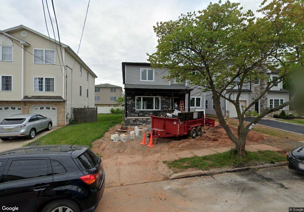
301 W Curtis St Linden, NJ 07036
Estimated Value: $450,000
--
Bed
--
Bath
1,221
Sq Ft
$369/Sq Ft
Est. Value
About This Home
This home is located at 301 W Curtis St, Linden, NJ 07036 and is currently priced at $450,000, approximately $368 per square foot. 301 W Curtis St is a home located in Union County with nearby schools including Number 1, Myles J. McManus Middle School, and Linden High School.
Ownership History
Date
Name
Owned For
Owner Type
Purchase Details
Closed on
May 26, 2022
Sold by
Lettini Domenico P
Bought by
Dinev Acres Llc
Current Estimated Value
Purchase Details
Closed on
Apr 30, 2021
Sold by
Lettini Domenico P
Bought by
Lettini Domenico P
Purchase Details
Closed on
Jul 19, 2002
Sold by
Mcdermott Carol Jean
Bought by
Lettini Domenico P
Purchase Details
Closed on
May 13, 1998
Sold by
Deloretto Linda Rose and Mcdermott Carol Jean
Bought by
Mcdermott Carol Jean
Home Financials for this Owner
Home Financials are based on the most recent Mortgage that was taken out on this home.
Original Mortgage
$82,000
Interest Rate
6.66%
Purchase Details
Closed on
Mar 10, 1998
Sold by
Mcdermott Michael
Bought by
Mcdermott Carol J
Create a Home Valuation Report for This Property
The Home Valuation Report is an in-depth analysis detailing your home's value as well as a comparison with similar homes in the area
Home Values in the Area
Average Home Value in this Area
Purchase History
| Date | Buyer | Sale Price | Title Company |
|---|---|---|---|
| Dinev Acres Llc | $739,000 | Old Republic Title | |
| Lettini Domenico P | -- | None Available | |
| Lettini Domenico P | $220,000 | Chicago Title Insurance Co | |
| Mcdermott Carol Jean | -- | -- | |
| Mcdermott Carol J | -- | -- |
Source: Public Records
Mortgage History
| Date | Status | Borrower | Loan Amount |
|---|---|---|---|
| Previous Owner | Mcdermott Carol Jean | $82,000 |
Source: Public Records
Tax History Compared to Growth
Tax History
| Year | Tax Paid | Tax Assessment Tax Assessment Total Assessment is a certain percentage of the fair market value that is determined by local assessors to be the total taxable value of land and additions on the property. | Land | Improvement |
|---|---|---|---|---|
| 2021 | $4,454 | $64,100 | $64,100 | $0 |
| 2020 | $8,820 | $127,600 | $64,100 | $63,500 |
| 2019 | $8,790 | $127,600 | $64,100 | $63,500 |
| 2018 | $8,788 | $127,600 | $64,100 | $63,500 |
| 2017 | $8,598 | $127,600 | $64,100 | $63,500 |
| 2016 | $8,327 | $127,600 | $64,100 | $63,500 |
| 2015 | $8,009 | $127,600 | $64,100 | $63,500 |
| 2014 | $7,854 | $127,600 | $64,100 | $63,500 |
Source: Public Records
Map
Nearby Homes
- 633 Brook St
- 631 Brook St
- 629 Brook St
- 634 Miner Terrace
- 632 Miner Terrace
- 636 Miner Terrace
- 625 Brook St
- 628 Miner Terrace
- 209 W Curtis St
- 624 Miner Terrace
- 621 Brook St
- 207 W Curtis St
- 210 W Curtis St
- 622 Miner Terrace
- 304 W Curtis St
- 620 Brook St
- 300 W Curtis St
- 310 W Curtis St
- 628 Brook St
- 615 Brook St