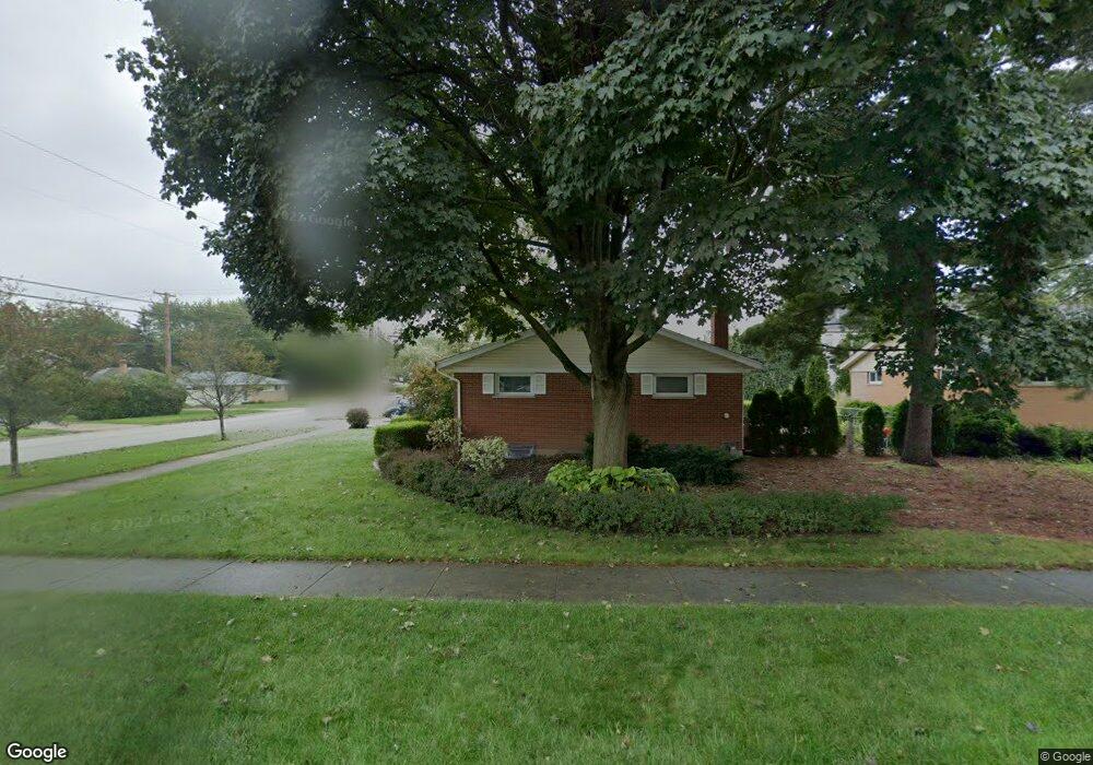
301 W Daniels Rd Palatine, IL 60067
Downtown Palatine NeighborhoodEstimated Value: $407,663 - $447,000
3
Beds
2
Baths
1,311
Sq Ft
$326/Sq Ft
Est. Value
About This Home
This home is located at 301 W Daniels Rd, Palatine, IL 60067 and is currently estimated at $427,166, approximately $325 per square foot. 301 W Daniels Rd is a home located in Cook County with nearby schools including Stuart R Paddock School, Plum Grove Jr High School, and William Fremd High School.
Ownership History
Date
Name
Owned For
Owner Type
Purchase Details
Closed on
May 15, 1996
Sold by
Bush David P and Bush Carrie S
Bought by
Montesi Hubert J and Montesi Andrea Kay
Current Estimated Value
Home Financials for this Owner
Home Financials are based on the most recent Mortgage that was taken out on this home.
Original Mortgage
$100,000
Interest Rate
7.87%
Create a Home Valuation Report for This Property
The Home Valuation Report is an in-depth analysis detailing your home's value as well as a comparison with similar homes in the area
Home Values in the Area
Average Home Value in this Area
Purchase History
| Date | Buyer | Sale Price | Title Company |
|---|---|---|---|
| Montesi Hubert J | $175,000 | Attorneys Natl Title Network |
Source: Public Records
Mortgage History
| Date | Status | Borrower | Loan Amount |
|---|---|---|---|
| Closed | Montesi Hubert J | $100,000 |
Source: Public Records
Tax History Compared to Growth
Tax History
| Year | Tax Paid | Tax Assessment Tax Assessment Total Assessment is a certain percentage of the fair market value that is determined by local assessors to be the total taxable value of land and additions on the property. | Land | Improvement |
|---|---|---|---|---|
| 2024 | $7,115 | $30,000 | $5,932 | $24,068 |
| 2023 | $6,829 | $30,000 | $5,932 | $24,068 |
| 2022 | $6,829 | $30,000 | $5,932 | $24,068 |
| 2021 | $4,721 | $20,530 | $3,460 | $17,070 |
| 2020 | $4,781 | $20,530 | $3,460 | $17,070 |
| 2019 | $5,235 | $24,427 | $3,460 | $20,967 |
| 2018 | $5,994 | $25,471 | $3,212 | $22,259 |
| 2017 | $5,914 | $25,471 | $3,212 | $22,259 |
| 2016 | $6,008 | $25,471 | $3,212 | $22,259 |
| 2015 | $5,436 | $22,189 | $2,965 | $19,224 |
| 2014 | $5,242 | $22,189 | $2,965 | $19,224 |
| 2013 | $5,229 | $22,189 | $2,965 | $19,224 |
Source: Public Records
Map
Nearby Homes
- 222 S Maple St
- 418 S Rose St
- 412 S Cedar St
- 416 S Royal Ct
- 220 S Bothwell St
- 457 S Bennett Ave
- 315 Johnson St
- 133 W Palatine Rd Unit 107A
- 272 W Prestwick St
- 509 S Plum Grove Rd
- 635 W Kenilworth Ave
- 55 S Hale St Unit 109
- 87 W Station St
- 24 W Station St Unit 403W
- 3 E Slade St
- 2 E Slade St
- Lot 1 W Wilson St
- 4 E Slade St
- 278 W Illinois Ave
- 712 S Plum Grove Rd
- 311 W Daniels Rd
- 302 W Helen Rd
- 308 W Helen Rd
- 255 W Daniels Rd
- 319 W Daniels Rd
- 314 W Helen Rd
- 316 W Helen Rd
- 245 S Rose St
- 310 W Daniels Rd
- 249 W Daniels Rd
- 322 W Helen Rd
- 325 W Daniels Rd
- 252 W Daniels Rd
- 248 W Helen Rd
- 225 S Maple St
- 326 W Helen Rd
- 214 S Rose St
- 243 W Daniels Rd
- 244 W Daniels Rd