301 W Genesee St Chittenango, NY 13037
Estimated Value: $300,000 - $399,000
4
Beds
2
Baths
1,994
Sq Ft
$174/Sq Ft
Est. Value
About This Home
This home is located at 301 W Genesee St, Chittenango, NY 13037 and is currently estimated at $347,741, approximately $174 per square foot. 301 W Genesee St is a home located in Madison County with nearby schools including Chittenango High School.
Ownership History
Date
Name
Owned For
Owner Type
Purchase Details
Closed on
Nov 22, 2011
Sold by
Mohorter Brian
Bought by
Mohorter Brian
Current Estimated Value
Purchase Details
Closed on
Oct 5, 2006
Sold by
Mohorter Marie L
Bought by
Mohortar Brian J
Purchase Details
Closed on
Jan 23, 2003
Sold by
Cendant Mobility Financia L Corp
Bought by
Mohorter Marie L
Purchase Details
Closed on
Oct 12, 2000
Sold by
Rooch Leu
Bought by
Griffin Richard
Create a Home Valuation Report for This Property
The Home Valuation Report is an in-depth analysis detailing your home's value as well as a comparison with similar homes in the area
Home Values in the Area
Average Home Value in this Area
Purchase History
| Date | Buyer | Sale Price | Title Company |
|---|---|---|---|
| Mohorter Brian | -- | Joel Wenk | |
| Mohortar Brian J | -- | Richard Hollembeek | |
| Mohorter Marie L | $157,000 | -- | |
| Cendant Mobility Financia L Corp | $157,000 | Frangk Stanley | |
| Griffin Richard | $155,000 | David Grasso |
Source: Public Records
Tax History Compared to Growth
Tax History
| Year | Tax Paid | Tax Assessment Tax Assessment Total Assessment is a certain percentage of the fair market value that is determined by local assessors to be the total taxable value of land and additions on the property. | Land | Improvement |
|---|---|---|---|---|
| 2024 | $7,901 | $167,200 | $17,100 | $150,100 |
| 2023 | $7,936 | $167,200 | $17,100 | $150,100 |
| 2022 | $7,670 | $167,200 | $17,100 | $150,100 |
| 2021 | $7,628 | $167,200 | $17,100 | $150,100 |
| 2020 | $6,853 | $167,200 | $17,100 | $150,100 |
| 2019 | $6,621 | $167,200 | $17,100 | $150,100 |
| 2018 | $6,621 | $167,200 | $17,100 | $150,100 |
| 2017 | $6,633 | $167,200 | $17,100 | $150,100 |
| 2016 | $6,618 | $167,200 | $17,100 | $150,100 |
| 2015 | -- | $167,200 | $17,100 | $150,100 |
| 2014 | -- | $167,200 | $17,100 | $150,100 |
Source: Public Records
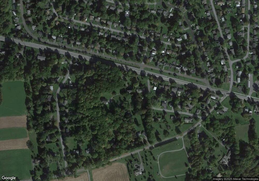
Map
Nearby Homes
- 208 S Webber Dr
- 339 S Webber Dr
- 615 Charles St
- 609 Webber Dr
- 815 Norton Ave
- 000 Warren St
- 1751 State Route 173
- 500 Lake St
- 146 Hawthorne Way
- 106 Charlies Place
- 301 Falls Blvd
- 9010 Kennedy Ln Ln
- 628 Lakeport Rd
- 2233 Gidran Dr
- 0 Walnut Point Rd Unit S1594837
- 0 Walnut Point Rd Unit S1594838
- 0 Lucas Rd Unit S1637909
- 110 Schuyler Dr
- 624 Valley Dr W
- 7033 Lakeport Rd