Estimated Value: $196,001 - $304,000
5
Beds
2
Baths
2,300
Sq Ft
$105/Sq Ft
Est. Value
About This Home
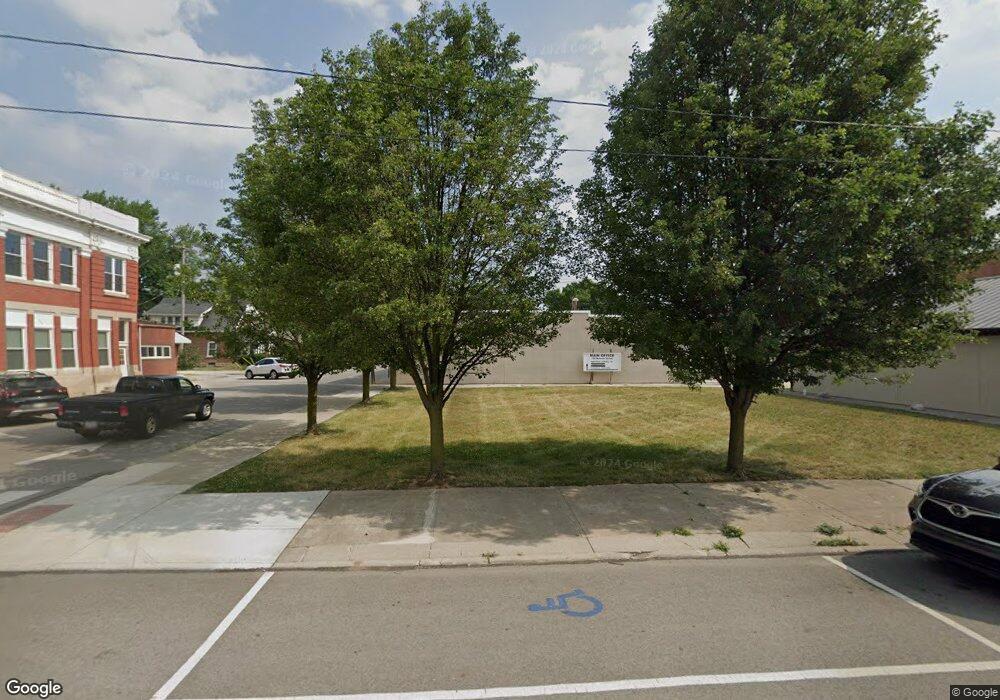
This home is located at 301 W Main St, Delta, OH 43515 and is currently estimated at $240,750, approximately $104 per square foot. 301 W Main St is a home located in Fulton County with nearby schools including Delta Elementary School, Pike-Delta-York Middle School, and Pike-Delta-York High School.
Ownership History
Date
Name
Owned For
Owner Type
Purchase Details
Closed on
Apr 25, 2025
Sold by
Gerity Thomas D and Gerity Martha M
Bought by
Thomas D Gerity And Martha M Gerity Family Tr and Gerity
Current Estimated Value
Purchase Details
Closed on
Sep 24, 2015
Sold by
Gerity Wendy K
Bought by
Gerity Thomas D and Gerity Martha M
Purchase Details
Closed on
Mar 16, 2009
Sold by
Gerity Patrick J
Bought by
Gerity Wendy K
Purchase Details
Closed on
Jan 1, 1990
Bought by
Gerity Patrick J and Gerity Wendy
Create a Home Valuation Report for This Property
The Home Valuation Report is an in-depth analysis detailing your home's value as well as a comparison with similar homes in the area
Home Values in the Area
Average Home Value in this Area
Purchase History
| Date | Buyer | Sale Price | Title Company |
|---|---|---|---|
| Thomas D Gerity And Martha M Gerity Family Tr | -- | None Listed On Document | |
| Thomas D Gerity And Martha M Gerity Family Tr | -- | None Listed On Document | |
| Gerity Thomas D | $90,000 | Attorney | |
| Gerity Wendy K | -- | Attorney | |
| Gerity Patrick J | -- | -- |
Source: Public Records
Tax History Compared to Growth
Tax History
| Year | Tax Paid | Tax Assessment Tax Assessment Total Assessment is a certain percentage of the fair market value that is determined by local assessors to be the total taxable value of land and additions on the property. | Land | Improvement |
|---|---|---|---|---|
| 2024 | $2,046 | $47,180 | $11,830 | $35,350 |
| 2023 | $2,051 | $47,180 | $11,830 | $35,350 |
| 2022 | $2,124 | $37,280 | $9,870 | $27,410 |
| 2021 | $2,199 | $37,280 | $9,870 | $27,410 |
| 2020 | $2,186 | $37,280 | $9,870 | $27,410 |
| 2019 | $2,024 | $35,280 | $9,870 | $25,410 |
| 2018 | $1,855 | $35,280 | $9,870 | $25,410 |
| 2017 | $1,847 | $35,280 | $9,870 | $25,410 |
| 2016 | $1,749 | $29,260 | $9,870 | $19,390 |
| 2015 | $1,633 | $29,260 | $9,870 | $19,390 |
| 2014 | $1,630 | $29,260 | $9,870 | $19,390 |
| 2013 | $1,640 | $29,750 | $7,840 | $21,910 |
Source: Public Records
Map
Nearby Homes
- 308 Monroe St
- 207 Wood St
- 413 Fernwood St
- 305 Mckinley St
- 518 Providence St
- 701 Palmwood St
- 908 Fernwood St
- 810 Greenview Ave
- Integrity 1880 Plan at Oregon Town Center
- Integrity 2060 Plan at Oregon Town Center
- Integrity 2000 Plan at Oregon Town Center
- Elements 2700 Plan at Oregon Town Center
- Integrity 2060 Plan at Hidden Ridge Estates
- integrity 1800 Plan at Hidden Ridge Estates
- Integrity 2061 V8.1a Plan at Hidden Ridge Estates
- Integrity 2060 Plan at Three Meadows North
- Integrity 2080 Plan at Oregon Town Center
- Elements 2390 Plan at Oregon Town Center
- Integrity 2061 V8.1a Plan at Oregon Town Center
- Integrity 1460 Plan at Hidden Ridge Estates
- 0 Ohio 109
- * Ohio 109
- 7105 Ohio 109
- 0 Airport Hwy Unit 6020863
- 0 Airport Hwy Unit 5005870
- 0 Airport Hwy Unit 5025051
- 0 Airport Hwy Unit 5045243
- 0 Airport Hwy Unit 5074079
- 0 Airport Hwy Unit 4588421
- 0 Airport Hwy Unit 9001891
- 0 Airport Hwy Unit 9001897
- 0 Airport Hwy Unit 4601791
- 0 Airport Hwy Unit 5098990
- 247 W Main St
- 6956 County Road Fg
- 6956 Co Rd Fg
- 6944 County Road Fg
- 312 W Main St
- 245 W Main St
- 316 W Main St