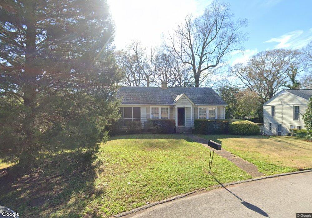
301 W Mclendon Cir Lagrange, GA 30240
Estimated Value: $154,107 - $209,000
2
Beds
1
Bath
1,001
Sq Ft
$174/Sq Ft
Est. Value
About This Home
This home is located at 301 W Mclendon Cir, Lagrange, GA 30240 and is currently estimated at $173,777, approximately $173 per square foot. 301 W Mclendon Cir is a home located in Troup County with nearby schools including Hollis Hand Elementary School, Ethel W. Kight Elementary School, and Franklin Forest Elementary School.
Ownership History
Date
Name
Owned For
Owner Type
Purchase Details
Closed on
Dec 7, 1987
Sold by
Murray David H and Murray Jane N
Bought by
Ronneburger Theodore
Current Estimated Value
Purchase Details
Closed on
Jul 31, 1984
Sold by
Birdsong Margaret Frances
Bought by
Murray David H and Murray Jane N
Purchase Details
Closed on
Apr 1, 1967
Sold by
Mrs Judson Birdsong
Bought by
Birdsong Margaret Frances
Create a Home Valuation Report for This Property
The Home Valuation Report is an in-depth analysis detailing your home's value as well as a comparison with similar homes in the area
Purchase History
| Date | Buyer | Sale Price | Title Company |
|---|---|---|---|
| Ronneburger Theodore | $45,000 | -- | |
| Murray David H | $11,000 | -- | |
| Birdsong Margaret Frances | -- | -- |
Source: Public Records
Tax History
| Year | Tax Paid | Tax Assessment Tax Assessment Total Assessment is a certain percentage of the fair market value that is determined by local assessors to be the total taxable value of land and additions on the property. | Land | Improvement |
|---|---|---|---|---|
| 2025 | $1,337 | $54,880 | $18,000 | $36,880 |
| 2024 | $1,145 | $43,960 | $18,000 | $25,960 |
| 2023 | $1,078 | $41,520 | $18,000 | $23,520 |
| 2022 | $957 | $36,280 | $14,000 | $22,280 |
| 2021 | $930 | $32,840 | $14,000 | $18,840 |
| 2020 | $930 | $32,840 | $14,000 | $18,840 |
| 2019 | $952 | $33,560 | $14,000 | $19,560 |
| 2018 | $952 | $33,560 | $14,000 | $19,560 |
| 2017 | $1,005 | $35,320 | $18,000 | $17,320 |
| 2016 | $997 | $35,052 | $18,000 | $17,052 |
| 2015 | $999 | $35,052 | $18,000 | $17,052 |
| 2014 | $990 | $34,701 | $18,000 | $16,701 |
| 2013 | -- | $21,201 | $7,200 | $14,001 |
Source: Public Records
Map
Nearby Homes
- 203 Waverly Way
- 216 E Lane Cir
- 206 Broad St
- 208 Boulevard
- 405 W Broome St Unit 2
- 405 W Broome St Unit 3
- 405 W Broome St Unit 4
- 405 W Broome St Unit 1
- 405 W Broome St Unit 5
- 119 College Ave
- 450 Gordon Cir
- 304 Boulevard
- 403 College Ave
- 705 Piney Woods Dr
- 416 Park Ave
- 420 Ridgecrest Rd
- 421 College Ave
- 609 Ridley Ave
- 707 Ridley Ave
- 611 Ridley Ave
- 203 Ben Hill St
- 303 W Mclendon Cir
- 602 W Haralson St
- 201 Ben Hill St #4
- 201 Ben Hill #3
- 201 Ben Hill St Unit 4
- 201 Ben Hill St Unit 4
- 201 Ben Hill St Unit 2
- 201 Ben Hill St
- 201 Ben Hill St Unit 3
- 307 W Mclendon Cir
- 204 Ben Hill St
- 204 Springdale Dr
- 208 Springdale Dr
- 309 W Mclendon Cir
- 500 W Haralson St Unit 1
- 202 Ben Hill St
- 300 E Mclendon Cir
- 300 Springdale Dr
- 601 W Haralson St Unit 9
Your Personal Tour Guide
Ask me questions while you tour the home.