301 Welborn Rd Maysville, GA 30558
Estimated Value: $519,000 - $1,002,000
3
Beds
2
Baths
1,296
Sq Ft
$588/Sq Ft
Est. Value
About This Home
This home is located at 301 Welborn Rd, Maysville, GA 30558 and is currently estimated at $761,754, approximately $587 per square foot. 301 Welborn Rd is a home located in Banks County with nearby schools including Banks County Primary School, Banks County Elementary School, and Banks County Middle School.
Ownership History
Date
Name
Owned For
Owner Type
Purchase Details
Closed on
Apr 29, 2016
Sold by
Falls Enterprises Lp
Bought by
Mccoy Poultry Farms Llc
Current Estimated Value
Home Financials for this Owner
Home Financials are based on the most recent Mortgage that was taken out on this home.
Original Mortgage
$1,000,000
Interest Rate
3.71%
Mortgage Type
Commercial
Purchase Details
Closed on
Apr 28, 2006
Sold by
Falls Bill R
Bought by
Falls Enterprises Lp
Create a Home Valuation Report for This Property
The Home Valuation Report is an in-depth analysis detailing your home's value as well as a comparison with similar homes in the area
Home Values in the Area
Average Home Value in this Area
Purchase History
| Date | Buyer | Sale Price | Title Company |
|---|---|---|---|
| Mccoy Poultry Farms Llc | $400,000 | -- | |
| Falls Enterprises Lp | -- | -- |
Source: Public Records
Mortgage History
| Date | Status | Borrower | Loan Amount |
|---|---|---|---|
| Closed | Mccoy Poultry Farms Llc | $1,000,000 |
Source: Public Records
Tax History Compared to Growth
Tax History
| Year | Tax Paid | Tax Assessment Tax Assessment Total Assessment is a certain percentage of the fair market value that is determined by local assessors to be the total taxable value of land and additions on the property. | Land | Improvement |
|---|---|---|---|---|
| 2025 | $2,314 | $211,611 | $105,536 | $106,075 |
| 2024 | $2,314 | $197,546 | $95,942 | $101,604 |
| 2023 | $2,282 | $173,920 | $89,248 | $84,672 |
| 2022 | $1,536 | $126,578 | $65,068 | $61,510 |
| 2021 | $1,629 | $126,595 | $65,068 | $61,527 |
| 2020 | $1,644 | $111,248 | $49,670 | $61,578 |
| 2019 | $1,564 | $111,248 | $49,670 | $61,578 |
| 2018 | $1,586 | $111,248 | $49,670 | $61,578 |
| 2017 | $1,641 | $95,476 | $34,255 | $61,221 |
| 2016 | $1,620 | $92,925 | $34,255 | $58,670 |
| 2015 | $1,513 | $92,924 | $34,255 | $58,670 |
| 2014 | $1,513 | $119,414 | $60,744 | $58,670 |
| 2013 | -- | $119,413 | $60,744 | $58,669 |
Source: Public Records
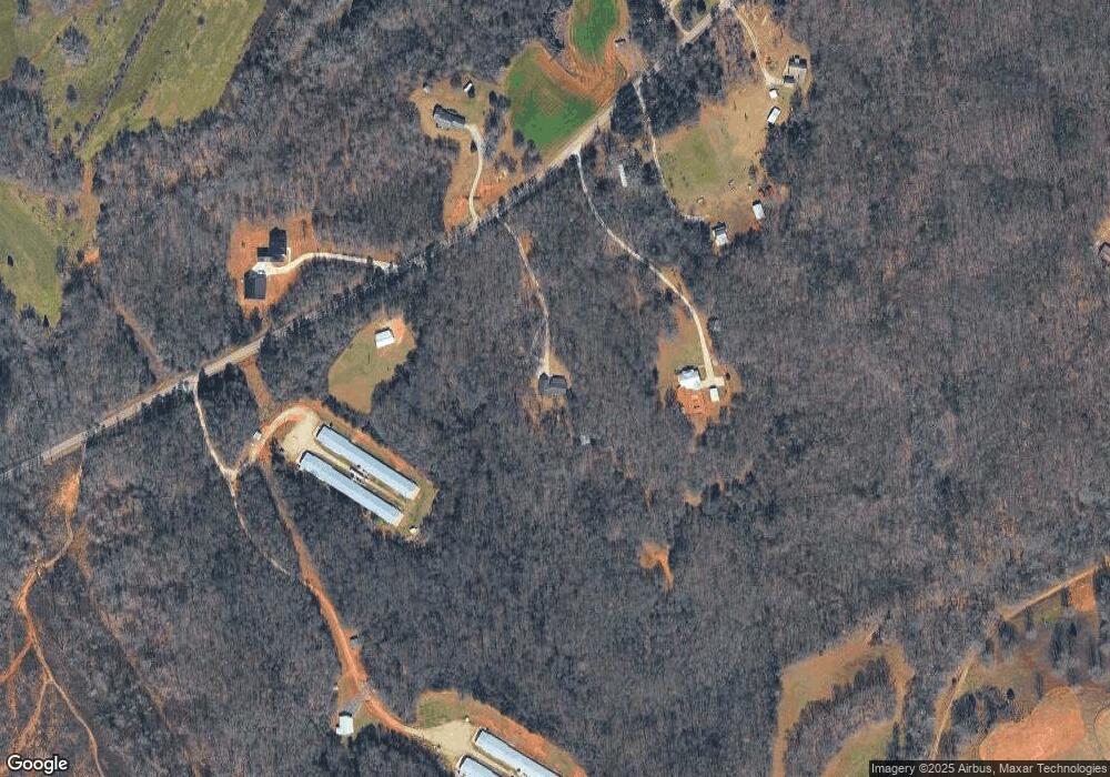
Map
Nearby Homes
- Tract 2 Hwy 51s
- 817 Yonah Homer Rd
- 491 Queen Rd
- 1330 Yonah Homer Rd
- 483 Greasy Creek St
- 000 Tyler Rd
- 0 Highway 98 Unit 10609064
- 0 Georgia 98
- 376 Athens St
- 3366 Highway 51 S
- 1583 Hickory Flat Rd
- 0 H D R Dr Unit 10637398
- 0 H D R Dr Unit 7676406
- 0 H D R Dr Unit 10637403
- 1054 Mount Sinai Rd
- 120 Jacks Dr
- 122 Cannon Creek
- 1570 Historic Homer Hwy
- 2215 Georgia 323
- 146 Preserve Ln
- 277 Welborn Rd
- 277 Welborn Rd
- 263 Welborn Rd
- 375 Welborn Rd
- 282 Welborn Rd
- 255 Welborn Rd
- 249 Welborn Rd
- 1579 Highway 51 S
- 140 Welborn Rd
- 191 Welborn Rd
- 1553 Hwy 51s
- 122 Welborn Rd
- 102 Welborn Rd
- 1671 Highway 51 S
- 584 Morris Gardiner Rd
- 1723 Highway 51 S
- 692 Morris Gardiner Rd
- 1553 Highway 51 S
- 1531 Highway 51 S
- 1750 Highway 51 S