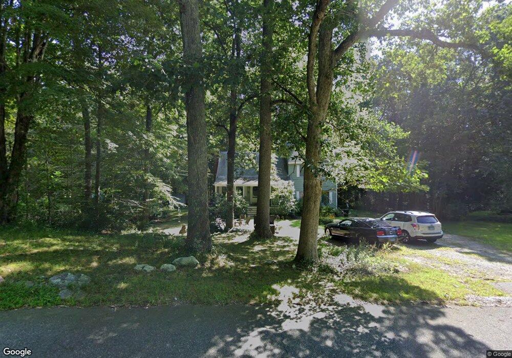
301 Westbrook Rd Deep River, CT 06417
Estimated Value: $399,000 - $456,000
3
Beds
3
Baths
1,764
Sq Ft
$239/Sq Ft
Est. Value
About This Home
This home is located at 301 Westbrook Rd, Deep River, CT 06417 and is currently estimated at $422,096, approximately $239 per square foot. 301 Westbrook Rd is a home located in Middlesex County with nearby schools including Valley Regional High School.
Ownership History
Date
Name
Owned For
Owner Type
Purchase Details
Closed on
Nov 30, 1999
Sold by
Very William G and Very Margaret H
Bought by
Purcell Peggy L
Current Estimated Value
Create a Home Valuation Report for This Property
The Home Valuation Report is an in-depth analysis detailing your home's value as well as a comparison with similar homes in the area
Home Values in the Area
Average Home Value in this Area
Purchase History
| Date | Buyer | Sale Price | Title Company |
|---|---|---|---|
| Purcell Peggy L | $153,500 | -- |
Source: Public Records
Mortgage History
| Date | Status | Borrower | Loan Amount |
|---|---|---|---|
| Closed | Purcell Peggy L | $225,300 | |
| Closed | Purcell Peggy L | $234,000 | |
| Closed | Purcell Peggy L | $41,200 |
Source: Public Records
Tax History
| Year | Tax Paid | Tax Assessment Tax Assessment Total Assessment is a certain percentage of the fair market value that is determined by local assessors to be the total taxable value of land and additions on the property. | Land | Improvement |
|---|---|---|---|---|
| 2025 | $5,330 | $166,670 | $44,590 | $122,080 |
| 2024 | $5,230 | $166,670 | $44,590 | $122,080 |
| 2023 | $4,980 | $166,670 | $44,590 | $122,080 |
| 2022 | $4,830 | $166,670 | $44,590 | $122,080 |
| 2021 | $4,930 | $166,670 | $44,590 | $122,080 |
| 2020 | $4,730 | $157,710 | $44,590 | $113,120 |
| 2019 | $4,632 | $157,430 | $44,590 | $112,840 |
| 2018 | $4,632 | $157,430 | $44,590 | $112,840 |
| 2017 | $4,553 | $157,430 | $44,590 | $112,840 |
| 2016 | $4,334 | $157,430 | $44,590 | $112,840 |
| 2015 | $4,351 | $165,550 | $45,220 | $120,330 |
| 2014 | $4,284 | $165,550 | $45,220 | $120,330 |
Source: Public Records
Map
Nearby Homes
- 272 Westbrook Rd
- 113 Winthrop Rd
- 151 Bushy Hill Rd
- 97 Bushy Hill Rd
- 0 Glen Grove Rd
- 41 Bushy Hill Rd
- 538 Winthrop Rd
- 22 Ebony Ln
- 112 Cedar Swamp Rd
- 120 Warsaw St
- 29 Mitchel Terrace
- 50 Kelseytown Rd
- 48A Ironworks Rd
- 214 Kelsey Hill Rd
- 4 Laurel Ln
- 19 Ironworks Rd
- 1 Lake Louise Dr
- 46 Hemlock Dr
- 43 Evergreen Park
- 33 Deep River Rd
- 293 Westbrook Rd
- 305 Westbrook Rd
- 284 Westbrook Rd
- 275 Westbrook Rd
- 325 Westbrook Rd
- 278 Westbrook Rd
- 331 Westbrook Rd
- 274 Westbrook Rd
- 266 Westbrook Rd
- 270 Westbrook Rd
- 257 Westbrook Rd
- 256 Westbrook Rd
- 248 Westbrook Rd
- 250 Westbrook Rd
- 245 Westbrook Rd
- 244 Westbrook Rd
- 238 Westbrook Rd
- 229 Westbrook Rd
- 233 Westbrook Rd
- 224 Westbrook Rd
Your Personal Tour Guide
Ask me questions while you tour the home.