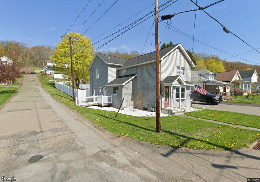
301 Whitmore Ave Mayfield, PA 18433
Estimated Value: $208,000 - $323,000
--
Bed
--
Bath
--
Sq Ft
7,492
Sq Ft Lot
About This Home
This home is located at 301 Whitmore Ave, Mayfield, PA 18433 and is currently estimated at $278,130. 301 Whitmore Ave is a home located in Lackawanna County with nearby schools including Lakeland Junior/Senior High School.
Ownership History
Date
Name
Owned For
Owner Type
Purchase Details
Closed on
Mar 17, 2021
Sold by
Erb Todd A and Erb Diane P
Bought by
Sweder Christopher and Sweder Olivia
Current Estimated Value
Home Financials for this Owner
Home Financials are based on the most recent Mortgage that was taken out on this home.
Original Mortgage
$242,500
Outstanding Balance
$217,384
Interest Rate
2.7%
Mortgage Type
VA
Estimated Equity
$60,746
Purchase Details
Closed on
Jul 18, 1998
Bought by
Erb Todd A and Erb Diane P
Create a Home Valuation Report for This Property
The Home Valuation Report is an in-depth analysis detailing your home's value as well as a comparison with similar homes in the area
Home Values in the Area
Average Home Value in this Area
Purchase History
| Date | Buyer | Sale Price | Title Company |
|---|---|---|---|
| Sweder Christopher | $242,500 | None Available | |
| Erb Todd A | $36,100 | -- |
Source: Public Records
Mortgage History
| Date | Status | Borrower | Loan Amount |
|---|---|---|---|
| Open | Sweder Christopher | $242,500 |
Source: Public Records
Tax History Compared to Growth
Tax History
| Year | Tax Paid | Tax Assessment Tax Assessment Total Assessment is a certain percentage of the fair market value that is determined by local assessors to be the total taxable value of land and additions on the property. | Land | Improvement |
|---|---|---|---|---|
| 2025 | $5,344 | $20,000 | $1,500 | $18,500 |
| 2024 | $4,473 | $20,000 | $1,500 | $18,500 |
| 2023 | $4,473 | $20,000 | $1,500 | $18,500 |
| 2022 | $4,319 | $20,000 | $1,500 | $18,500 |
| 2021 | $4,319 | $20,000 | $1,500 | $18,500 |
| 2020 | $4,279 | $20,000 | $1,500 | $18,500 |
| 2019 | $4,041 | $20,000 | $1,500 | $18,500 |
| 2018 | $4,001 | $20,000 | $1,500 | $18,500 |
| 2017 | $3,961 | $20,000 | $1,500 | $18,500 |
| 2016 | $2,158 | $20,000 | $1,500 | $18,500 |
| 2015 | -- | $20,000 | $1,500 | $18,500 |
| 2014 | -- | $20,000 | $1,500 | $18,500 |
Source: Public Records
Map
Nearby Homes
- 0 Scranton Carbondale Hwy
- 603 Lincoln Ave
- 0 Bacon St
- 440 Washington Ave
- 441 Madison Ave
- 0 Chestnut St
- 118-120 Madison Ave
- 369 Upper Powderly St
- 15 Lower Powderly St
- 322 Shadow Wood Cir Unit U13
- 192 Shadow Wood Cir
- 333 Shadow Wood Cir
- 115 Gordon Ave
- 233 Shadow Wood Cir
- 880 Scranton - Carbondale
- 149 Upper Powderly St
- 590 N Main St
- 815 Oak St
- 1317 Heart Lake Rd
- 128 Powderly Rd
- 303 Whitmore Ave
- 307 Whitmore Ave
- 309 Whitmore Ave
- 206 Glenwood St
- 300 Gorham Ave
- 300 Whitmore Ave
- 304 Gorham Ave
- 223 Whitmore Ave
- 302 Whitmore Ave
- 306 Gorham Ave
- 227 Depew Ave
- 308 Whitmore Ave
- 216 Gorham Ave
- 220 Gorham Ave
- 216 Whitmore Ave
- 217 Whitmore Ave
- 313 Whitmore Ave
- 317 Whitmore Ave
- 214 Gorham Ave
- 308 Glenwood St