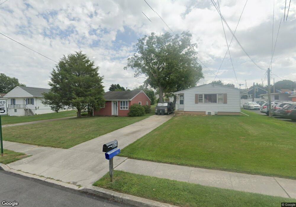
301 Wirt Ave Unit S Hanover, PA 17331
Estimated Value: $166,000 - $251,000
3
Beds
1
Bath
1,108
Sq Ft
$181/Sq Ft
Est. Value
About This Home
This home is located at 301 Wirt Ave Unit S, Hanover, PA 17331 and is currently estimated at $200,244, approximately $180 per square foot. 301 Wirt Ave Unit S is a home located in York County with nearby schools including South Western Senior High School and Delone Catholic High School.
Ownership History
Date
Name
Owned For
Owner Type
Purchase Details
Closed on
Aug 10, 2022
Sold by
Cassatt Mitchell T
Bought by
Cassatt Shawn
Current Estimated Value
Home Financials for this Owner
Home Financials are based on the most recent Mortgage that was taken out on this home.
Original Mortgage
$45,000
Outstanding Balance
$42,949
Interest Rate
5.3%
Mortgage Type
New Conventional
Estimated Equity
$157,295
Purchase Details
Closed on
Jan 22, 2017
Sold by
Cassatt Mitchell T and Cassatt Kelly E
Bought by
Cassatt Mitchell T
Purchase Details
Closed on
Aug 16, 1956
Sold by
Cassatt Marvin G
Bought by
Cassatt Pauline M
Create a Home Valuation Report for This Property
The Home Valuation Report is an in-depth analysis detailing your home's value as well as a comparison with similar homes in the area
Home Values in the Area
Average Home Value in this Area
Purchase History
| Date | Buyer | Sale Price | Title Company |
|---|---|---|---|
| Cassatt Shawn | $75,000 | None Listed On Document | |
| Cassatt Mitchell T | -- | None Available | |
| Cassatt Pauline M | $400 | -- |
Source: Public Records
Mortgage History
| Date | Status | Borrower | Loan Amount |
|---|---|---|---|
| Open | Cassatt Shawn | $45,000 |
Source: Public Records
Tax History Compared to Growth
Tax History
| Year | Tax Paid | Tax Assessment Tax Assessment Total Assessment is a certain percentage of the fair market value that is determined by local assessors to be the total taxable value of land and additions on the property. | Land | Improvement |
|---|---|---|---|---|
| 2025 | $2,967 | $88,030 | $27,420 | $60,610 |
| 2024 | $2,967 | $88,030 | $27,420 | $60,610 |
| 2023 | $2,914 | $88,030 | $27,420 | $60,610 |
| 2022 | $2,851 | $88,030 | $27,420 | $60,610 |
| 2021 | $2,695 | $88,030 | $27,420 | $60,610 |
| 2020 | $2,695 | $88,030 | $27,420 | $60,610 |
| 2019 | $2,644 | $88,030 | $27,420 | $60,610 |
| 2018 | $2,609 | $88,030 | $27,420 | $60,610 |
| 2017 | $2,548 | $88,030 | $27,420 | $60,610 |
| 2016 | $0 | $88,030 | $27,420 | $60,610 |
| 2015 | -- | $88,030 | $27,420 | $60,610 |
| 2014 | -- | $88,030 | $27,420 | $60,610 |
Source: Public Records
Map
Nearby Homes
- 582 Baltimore St
- 553 Mcallister St
- 45 Bowman Rd
- 832 Baltimore St
- 216 Charles Ave
- 533 Baltimore St
- 8 Fair Ave
- 208 Overlook Dr
- 501 Charles Ave
- 28 Brookside Ave
- 37 Coop Ln
- 132 Mcallister St
- 103 Overlook Dr
- 416 S High St
- 87 Lion Dr
- 814 York St
- 525 Locust St
- 399 R Beck Mill Rd
- 537 Baer Ave
- 0 Baltimore St Unit 16 PAYK2079352