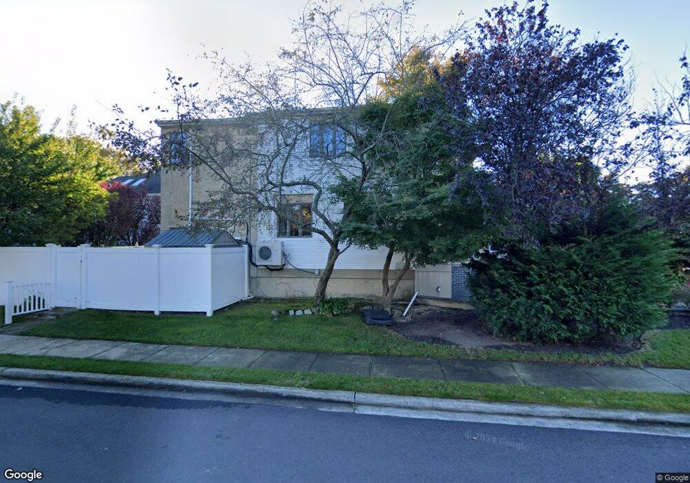
301 Wynsum Ave Merrick, NY 11566
Estimated Value: $1,068,342 - $1,206,000
Studio
2
Baths
2,845
Sq Ft
$400/Sq Ft
Est. Value
About This Home
This home is located at 301 Wynsum Ave, Merrick, NY 11566 and is currently estimated at $1,137,171, approximately $399 per square foot. 301 Wynsum Ave is a home located in Nassau County with nearby schools including Merrick Avenue Middle School, John F. Kennedy High School, and St. Elizabeth Ann Seton Regional School.
Ownership History
Date
Name
Owned For
Owner Type
Purchase Details
Closed on
Jun 17, 2010
Sold by
Dateno Lori Ann and Innamorata Janet
Bought by
Ebbin Ira and Ebbin Chevi
Current Estimated Value
Purchase Details
Closed on
Feb 12, 2004
Sold by
Tusa Maurice
Bought by
Dateno Lori-Ann
Create a Home Valuation Report for This Property
The Home Valuation Report is an in-depth analysis detailing your home's value as well as a comparison with similar homes in the area
Home Values in the Area
Average Home Value in this Area
Purchase History
| Date | Buyer | Sale Price | Title Company |
|---|---|---|---|
| Ebbin Ira | $645,000 | -- | |
| Dateno Lori-Ann | $581,000 | -- |
Source: Public Records
Tax History
| Year | Tax Paid | Tax Assessment Tax Assessment Total Assessment is a certain percentage of the fair market value that is determined by local assessors to be the total taxable value of land and additions on the property. | Land | Improvement |
|---|---|---|---|---|
| 2025 | $3,898 | $772 | $278 | $494 |
| 2024 | $3,586 | $772 | $278 | $494 |
| 2023 | $3,474 | $772 | $278 | $494 |
| 2022 | $3,474 | $772 | $278 | $494 |
| 2021 | $3,486 | $782 | $267 | $515 |
| 2020 | $6,299 | $1,169 | $720 | $449 |
| 2019 | $3,486 | $1,169 | $720 | $449 |
| 2018 | $3,341 | $1,169 | $0 | $0 |
| 2017 | $60 | $1,613 | $720 | $893 |
| 2016 | $4,407 | $1,613 | $720 | $893 |
| 2015 | $3,878 | $1,613 | $720 | $893 |
| 2014 | $3,878 | $1,613 | $720 | $893 |
| 2013 | $3,384 | $1,532 | $684 | $848 |
Source: Public Records
Map
Nearby Homes
- 109 Elliot St
- 217 Bayview Ave
- 2077 Byron Rd
- 110 Hampton Way
- 163 Wynsum Ave
- 23 Bay St
- 2829 Frankel Blvd
- 2043 Ripley Ln
- 2072 Brighton Way
- 2070 Beverly Way
- 2845 Whaleneck Dr
- 2522 Hewlett Ln
- 1945 Byron Rd
- 43 Wynsum Ave
- 2066 Holland Way
- 2538 Bradley Ct
- 2542 Lefferts Place
- 2729 Shore Dr
- 2884 Bay Dr
- 2863 Harbor Rd
- 303 Wynsum Ave
- 2667 Wynsum Ave
- 300 Frankel Blvd
- 267 Wynsum Ave
- 312 Frankel Blvd
- 312 Frankel Blvd
- 272 Frankel Blvd
- 315 Wynsum Ave
- 2662 Wynsum Ave
- 318 Frankel Blvd
- 261 Wynsum Ave
- 266 Frankel Blvd
- 2666 Wynsum Ave
- 262 Wynsum Ave
- 2683 Wynsum Ave
- 324 Frankel Blvd
- 302 Wynsum Ave
- 260 Frankel Blvd
- 2646 Wynsum Ave
- 301 Frankel Blvd
Your Personal Tour Guide
Ask me questions while you tour the home.