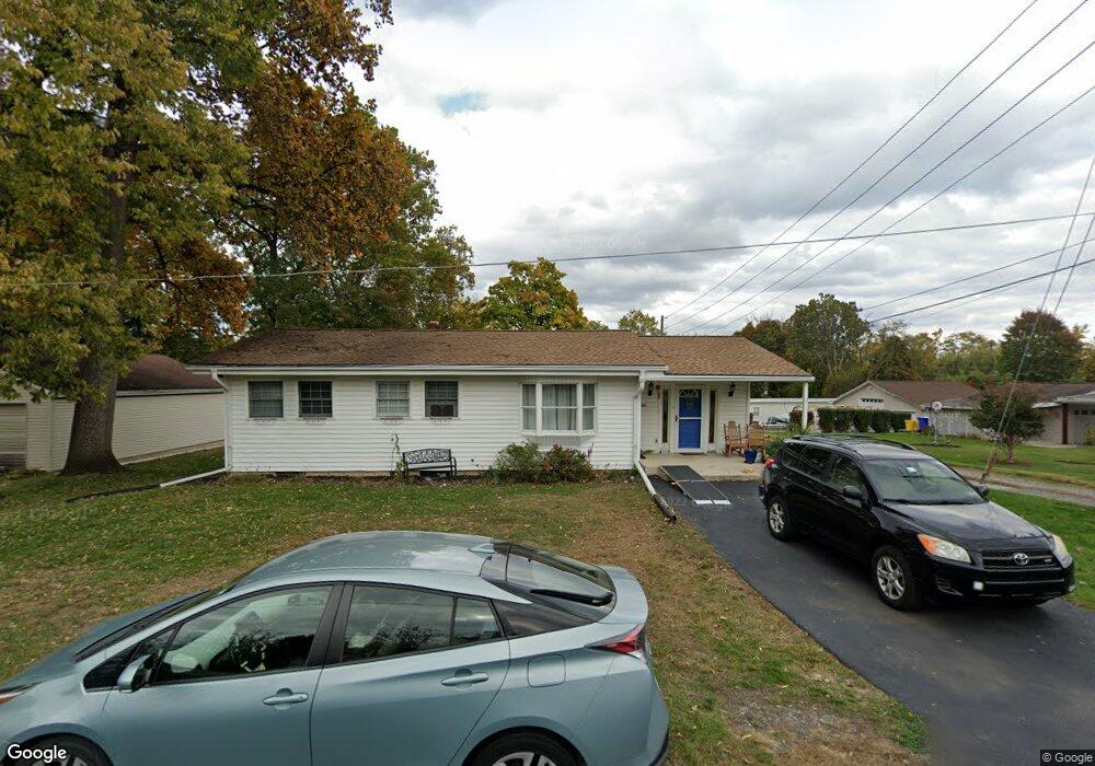
301 York Rd New Cumberland, PA 17070
Estimated Value: $141,000 - $224,000
3
Beds
1
Bath
1,188
Sq Ft
$160/Sq Ft
Est. Value
About This Home
This home is located at 301 York Rd, New Cumberland, PA 17070 and is currently estimated at $190,106, approximately $160 per square foot. 301 York Rd is a home located in York County with nearby schools including Fairview Elementary School, New Cumberland Middle School, and Cedar Cliff High School.
Ownership History
Date
Name
Owned For
Owner Type
Purchase Details
Closed on
Mar 25, 2024
Sold by
Moore Michael H
Bought by
Moore Doris Ann
Current Estimated Value
Home Financials for this Owner
Home Financials are based on the most recent Mortgage that was taken out on this home.
Original Mortgage
$118,750
Outstanding Balance
$116,826
Interest Rate
6.77%
Mortgage Type
New Conventional
Estimated Equity
$73,280
Purchase Details
Closed on
Aug 21, 2008
Sold by
Moore Michael H
Bought by
Moore Michael H
Home Financials for this Owner
Home Financials are based on the most recent Mortgage that was taken out on this home.
Original Mortgage
$142,500
Interest Rate
3.62%
Mortgage Type
Reverse Mortgage Home Equity Conversion Mortgage
Purchase Details
Closed on
Apr 4, 1996
Bought by
Moore Michael H and Moore Nancy L
Create a Home Valuation Report for This Property
The Home Valuation Report is an in-depth analysis detailing your home's value as well as a comparison with similar homes in the area
Home Values in the Area
Average Home Value in this Area
Purchase History
| Date | Buyer | Sale Price | Title Company |
|---|---|---|---|
| Moore Doris Ann | $125,000 | Cedar Cliff Abstract | |
| Moore Michael H | -- | None Available | |
| Moore Michael H | $11,300 | -- |
Source: Public Records
Mortgage History
| Date | Status | Borrower | Loan Amount |
|---|---|---|---|
| Open | Moore Doris Ann | $118,750 | |
| Previous Owner | Moore Michael H | $142,500 |
Source: Public Records
Tax History Compared to Growth
Tax History
| Year | Tax Paid | Tax Assessment Tax Assessment Total Assessment is a certain percentage of the fair market value that is determined by local assessors to be the total taxable value of land and additions on the property. | Land | Improvement |
|---|---|---|---|---|
| 2025 | $2,434 | $92,970 | $33,750 | $59,220 |
| 2024 | $2,305 | $92,970 | $33,750 | $59,220 |
| 2023 | $2,242 | $92,970 | $33,750 | $59,220 |
| 2022 | $2,235 | $92,970 | $33,750 | $59,220 |
| 2021 | $2,103 | $92,970 | $33,750 | $59,220 |
| 2020 | $2,077 | $92,970 | $33,750 | $59,220 |
| 2019 | $2,029 | $92,440 | $33,750 | $58,690 |
| 2018 | $1,990 | $92,440 | $33,750 | $58,690 |
| 2017 | $1,923 | $92,440 | $33,750 | $58,690 |
| 2016 | $0 | $92,440 | $33,750 | $58,690 |
| 2015 | -- | $92,440 | $33,750 | $58,690 |
| 2014 | -- | $92,440 | $33,750 | $58,690 |
Source: Public Records
Map
Nearby Homes
- 118 Old York Rd Unit 1
- 0 Old York Rd Unit 253 PAYK2089868
- 82 Springers Ln
- 355 Weatherstone Dr
- 309 Stoneridge Ct Unit 80
- 280 Fieldstone Ct Unit 99
- 1240 Summitview Ct
- 1248 Summitview Ct
- 400 Woodland Ave
- 110 Ross Ave Unit 2
- 8 Umberto Ave
- 134 S Market St
- 211 Market St
- 414 5th St
- 1601 Cobble Ct
- 409 1/2 Market St
- 1740 Creek Vista Dr
- 1726 Josiah Chowning Way
- 1764 Peyton Randolph Ct
- 319 7th St