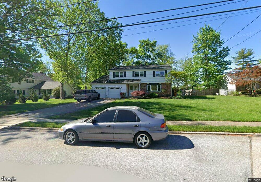
3010 Taft Rd Norristown, PA 19403
Estimated Value: $483,000 - $571,000
4
Beds
3
Baths
2,437
Sq Ft
$214/Sq Ft
Est. Value
About This Home
This home is located at 3010 Taft Rd, Norristown, PA 19403 and is currently estimated at $521,591, approximately $214 per square foot. 3010 Taft Rd is a home located in Montgomery County with nearby schools including Paul V Fly Elementary School, East Norriton Middle School, and Charles Blockson Middle School.
Ownership History
Date
Name
Owned For
Owner Type
Purchase Details
Closed on
Nov 7, 2003
Sold by
Romano Robert and Romano Wendy
Bought by
Romano Robert
Current Estimated Value
Home Financials for this Owner
Home Financials are based on the most recent Mortgage that was taken out on this home.
Original Mortgage
$130,000
Outstanding Balance
$60,185
Interest Rate
5.98%
Estimated Equity
$461,406
Purchase Details
Closed on
Aug 26, 2003
Sold by
Harris David A and Harris Susan
Bought by
Romano Robert and Romano Wendy
Create a Home Valuation Report for This Property
The Home Valuation Report is an in-depth analysis detailing your home's value as well as a comparison with similar homes in the area
Home Values in the Area
Average Home Value in this Area
Purchase History
| Date | Buyer | Sale Price | Title Company |
|---|---|---|---|
| Romano Robert | -- | -- | |
| Romano Robert | $220,000 | -- |
Source: Public Records
Mortgage History
| Date | Status | Borrower | Loan Amount |
|---|---|---|---|
| Open | Romano Robert | $130,000 |
Source: Public Records
Tax History Compared to Growth
Tax History
| Year | Tax Paid | Tax Assessment Tax Assessment Total Assessment is a certain percentage of the fair market value that is determined by local assessors to be the total taxable value of land and additions on the property. | Land | Improvement |
|---|---|---|---|---|
| 2025 | $7,372 | $156,490 | $48,450 | $108,040 |
| 2024 | $7,372 | $156,490 | $48,450 | $108,040 |
| 2023 | $7,286 | $156,490 | $48,450 | $108,040 |
| 2022 | $7,237 | $156,490 | $48,450 | $108,040 |
| 2021 | $7,191 | $156,490 | $48,450 | $108,040 |
| 2020 | $6,968 | $156,490 | $48,450 | $108,040 |
| 2019 | $6,807 | $156,490 | $48,450 | $108,040 |
| 2018 | $6,806 | $156,490 | $48,450 | $108,040 |
| 2017 | $6,411 | $156,490 | $48,450 | $108,040 |
| 2016 | $6,350 | $156,490 | $48,450 | $108,040 |
| 2015 | $6,160 | $156,490 | $48,450 | $108,040 |
| 2014 | $6,017 | $156,490 | $48,450 | $108,040 |
Source: Public Records
Map
Nearby Homes
- 3006 Potshop Rd
- 911 Caralea Dr
- 805 Sandra Ln
- 515 Faith Dr
- 758 Sandra Ln
- 511 Faith Dr
- 3122 Taft Rd
- 805 Stonybrook Dr
- 1110 Stonybrook Dr
- 425 Cherry Blossom Ln
- 2158 Alexander Dr
- 1803 Sweet Gum Dr
- 0 Windy Hill Rd Unit METHACTON SD
- 000 Arden Dr Unit METHACTON SD
- 2939 W Germantown Pike
- 1103 Arden Dr Unit METHACTON SCHOOL
- 930 Heritage Dr
- 1507 Potshop Rd
- 1403 Reiner Rd
- 3218 Nottingham Rd
- 3012 Taft Rd
- 3008 Taft Rd
- 3006 Taft Rd
- 3014 Taft Rd
- 3000 Eisenhower Rd
- 3004 Taft Rd
- 3013 Taft Rd
- 3005 Taft Rd
- 3003 Eisenhower Rd
- 3018 Taft Rd
- 3002 Taft Rd
- 3001 Congress Rd
- 3004 Eisenhower Rd
- 3005 Eisenhower Rd
- 2919 Toll Gate Dr
- 2917 Toll Gate Dr
- 3003 Congress Rd
- 3000 Taft Rd
- 2915 Toll Gate Dr
- 3004 Potshop Rd