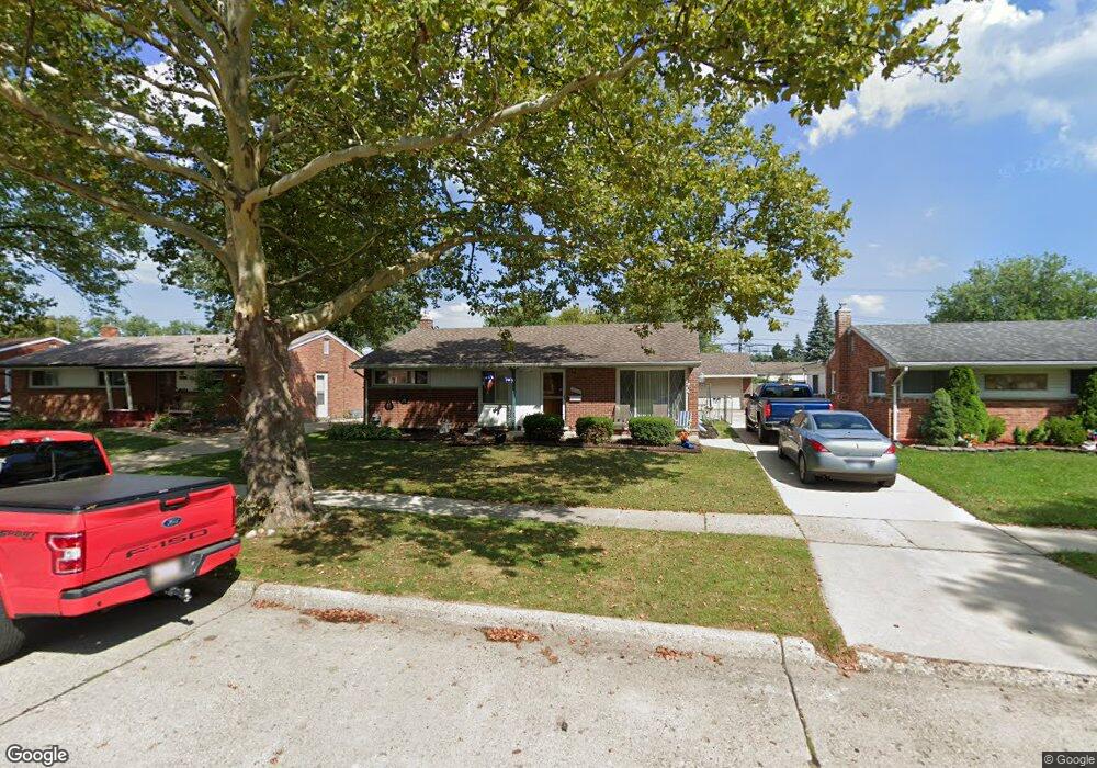
30100 Manhattan St Unit 211 Saint Clair Shores, MI 48082
Estimated Value: $275,000 - $279,000
3
Beds
2
Baths
1,473
Sq Ft
$187/Sq Ft
Est. Value
About This Home
This home is located at 30100 Manhattan St Unit 211, Saint Clair Shores, MI 48082 and is currently estimated at $276,031, approximately $187 per square foot. 30100 Manhattan St Unit 211 is a home located in Macomb County with nearby schools including Rodgers Elementary School, Kennedy Middle School, and Lake Shore High School.
Ownership History
Date
Name
Owned For
Owner Type
Purchase Details
Closed on
Jun 13, 2025
Sold by
Green Michael and Gulley Curtis
Bought by
Green Michael L and Green Monique Gulley
Current Estimated Value
Home Financials for this Owner
Home Financials are based on the most recent Mortgage that was taken out on this home.
Original Mortgage
$223,036
Outstanding Balance
$222,467
Interest Rate
6.84%
Mortgage Type
FHA
Estimated Equity
$53,564
Purchase Details
Closed on
Sep 23, 2021
Sold by
Beer Paul A and Beer Denise M
Bought by
Green Michael and Gulley Curtis
Create a Home Valuation Report for This Property
The Home Valuation Report is an in-depth analysis detailing your home's value as well as a comparison with similar homes in the area
Home Values in the Area
Average Home Value in this Area
Purchase History
| Date | Buyer | Sale Price | Title Company |
|---|---|---|---|
| Green Michael L | -- | None Listed On Document | |
| Green Michael | $229,000 | Chirco Title Agency Inc |
Source: Public Records
Mortgage History
| Date | Status | Borrower | Loan Amount |
|---|---|---|---|
| Open | Green Michael L | $223,036 |
Source: Public Records
Tax History Compared to Growth
Tax History
| Year | Tax Paid | Tax Assessment Tax Assessment Total Assessment is a certain percentage of the fair market value that is determined by local assessors to be the total taxable value of land and additions on the property. | Land | Improvement |
|---|---|---|---|---|
| 2025 | $5,031 | $120,300 | $0 | $0 |
| 2024 | $4,875 | $119,100 | $0 | $0 |
| 2023 | $4,634 | $104,000 | $0 | $0 |
| 2022 | $4,535 | $93,000 | $0 | $0 |
| 2021 | $2,705 | $86,000 | $0 | $0 |
| 2020 | $2,666 | $80,700 | $0 | $0 |
| 2019 | $2,226 | $73,700 | $0 | $0 |
| 2018 | $2,399 | $65,200 | $0 | $0 |
| 2017 | $2,399 | $62,500 | $9,000 | $53,500 |
| 2016 | $2,226 | $62,500 | $0 | $0 |
| 2015 | $2,246 | $55,800 | $0 | $0 |
| 2012 | -- | $55,100 | $8,300 | $46,800 |
Source: Public Records
Map
Nearby Homes
- 20938 Hunt Dr Unit 52
- 20922 Hunt Dr
- 20825 Washington St
- 21217 Raymond St
- 20731 Washington St
- 21136 E 12 Mile Rd
- 29563 Little MacK Ave
- 29254 Harding St
- 20551 Fenton St
- 21301 Violet St
- 21720 Evergreen St
- 31005 Champine St
- 22016 Visnaw St
- 29824 Gloria St
- 20924 Saint Gertrude St
- 31031 Champine St
- 28930 Little MacK Ave
- 20226 Fenton St
- 29243 Boston St
- 22224 Violet St
- 30100 Manhattan St
- 30030 Manhattan St
- 30106 Manhattan St
- 30101 Rosebriar St
- 30037 Rosebriar St
- 30107 Rosebriar St
- 30024 Manhattan St
- 30112 Manhattan St
- 30031 Rosebriar St
- 30113 Rosebriar St
- 30025 Rosebriar St
- 30118 Manhattan St
- 30101 Manhattan St
- 30019 Rosebriar St
- 30107 Manhattan St
- 30031 Manhattan St
- 30201 Rosebriar St
- 30012 Manhattan St
- 30025 Manhattan St
- 30111 Manhattan St