3011 Flint Cir Shepherd, MT 59079
Estimated Value: $447,000 - $504,490
4
Beds
2
Baths
2,288
Sq Ft
$211/Sq Ft
Est. Value
About This Home
This home is located at 3011 Flint Cir, Shepherd, MT 59079 and is currently estimated at $483,830, approximately $211 per square foot. 3011 Flint Cir is a home with nearby schools including Shepherd Elementary School, Shepherd Middle School, and Shepherd High School.
Ownership History
Date
Name
Owned For
Owner Type
Purchase Details
Closed on
Feb 13, 2019
Sold by
Zeiler Able J
Bought by
Zeiler Able J and Zeiler Abby
Current Estimated Value
Purchase Details
Closed on
Jun 20, 2018
Sold by
Hahn Eileen E
Bought by
Zeiler Able J
Home Financials for this Owner
Home Financials are based on the most recent Mortgage that was taken out on this home.
Interest Rate
4.62%
Purchase Details
Closed on
Feb 22, 2016
Sold by
Atlas Engineers Inc
Bought by
The Estate Of Eileen Hahn
Create a Home Valuation Report for This Property
The Home Valuation Report is an in-depth analysis detailing your home's value as well as a comparison with similar homes in the area
Purchase History
| Date | Buyer | Sale Price | Title Company |
|---|---|---|---|
| Zeiler Able J | -- | -- | |
| Zeiler Able J | -- | -- | |
| The Estate Of Eileen Hahn | -- | None Available |
Source: Public Records
Mortgage History
| Date | Status | Borrower | Loan Amount |
|---|---|---|---|
| Previous Owner | Zeiler Able J | -- |
Source: Public Records
Tax History
| Year | Tax Paid | Tax Assessment Tax Assessment Total Assessment is a certain percentage of the fair market value that is determined by local assessors to be the total taxable value of land and additions on the property. | Land | Improvement |
|---|---|---|---|---|
| 2025 | $3,375 | $473,300 | $50,163 | $423,137 |
| 2024 | $3,375 | $392,900 | $29,266 | $363,634 |
| 2023 | $3,434 | $392,900 | $29,266 | $363,634 |
| 2022 | $2,731 | $277,400 | $0 | $0 |
| 2021 | $2,725 | $277,400 | $0 | $0 |
| 2020 | $2,925 | $288,600 | $0 | $0 |
| 2019 | $2,425 | $288,600 | $0 | $0 |
| 2018 | $230 | $27,017 | $0 | $0 |
| 2017 | $226 | $27,017 | $0 | $0 |
| 2016 | $428 | $53,411 | $0 | $0 |
| 2015 | $424 | $53,411 | $0 | $0 |
| 2014 | $304 | $20,316 | $0 | $0 |
Source: Public Records
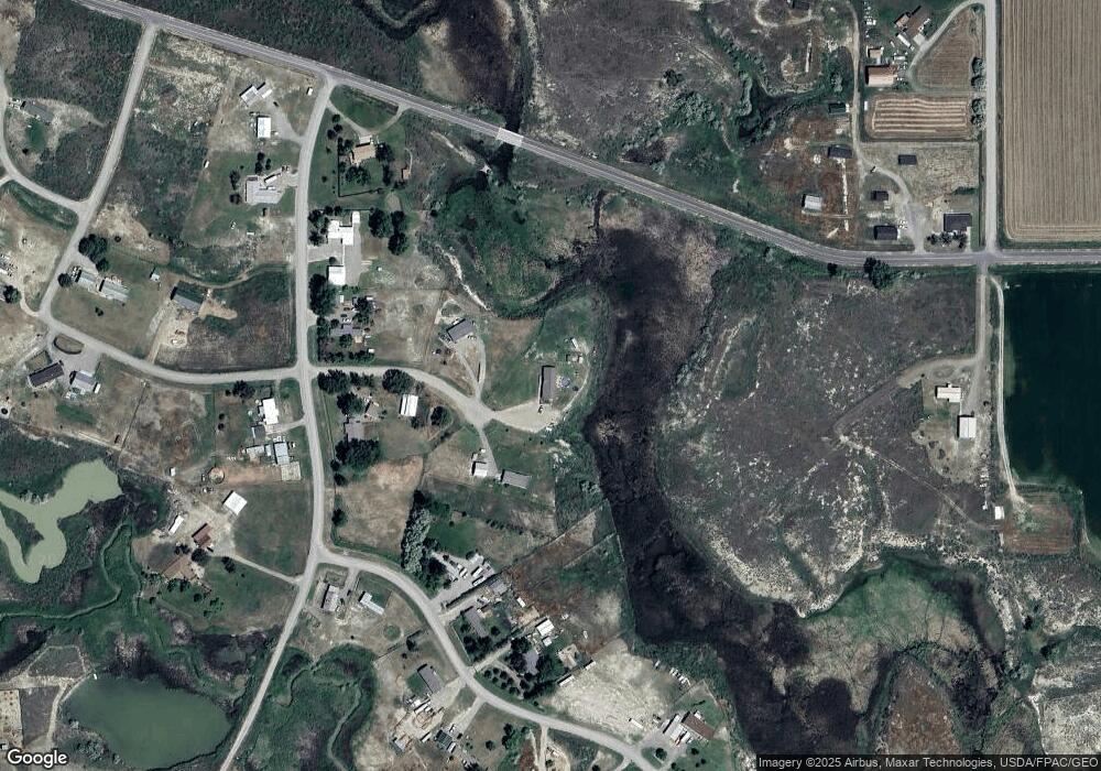
Map
Nearby Homes
- 9055 Doyle Rd
- 7684 12 Mile Rd
- 3625 Nellie Christine Dr
- 3835 Nellie Christine Dr
- 9705 Shepherd Rd
- 7445 Horsemans Way
- 3863 Glenn Edward Rd
- 5615 Scandia Rd
- L1B3 Molly Dr W
- L16B3 True Grit St
- L1B4 True Grit St
- L4B4 Trumbo Cir
- L2B3 Molly Dr W
- L5B4 Trumbo Cir
- L15B3 True Grit St
- L1B1 High Noon Dr
- 3507 High Noon
- L2B4 True Grit St
- L2B1 High Noon Dr
- L3B4 Trumbo Cir
- 3007 Flint Cir
- 0 Flint Cir
- 2932 Flint Cir
- 2932 Flint Cir
- 2915 Shale Rock Dr
- 9911 Bison Rd
- 2935 Shale Rock Dr
- 9949 Bison Rd
- 10023 Bison Rd
- 9924 Bison Rd
- 2910 Shale Rock Dr
- 2930 Shale Rock Dr
- 10002 Bison Rd
- 3145 Mailbox Rd
- 2938 Shale Rock Dr
- 9844 Bison Rd
- 10046 Mammoth Rd
- 2970 Shale Rock Dr
- 0 Shale Rock Dr
- 2 Bison Rd
Your Personal Tour Guide
Ask me questions while you tour the home.