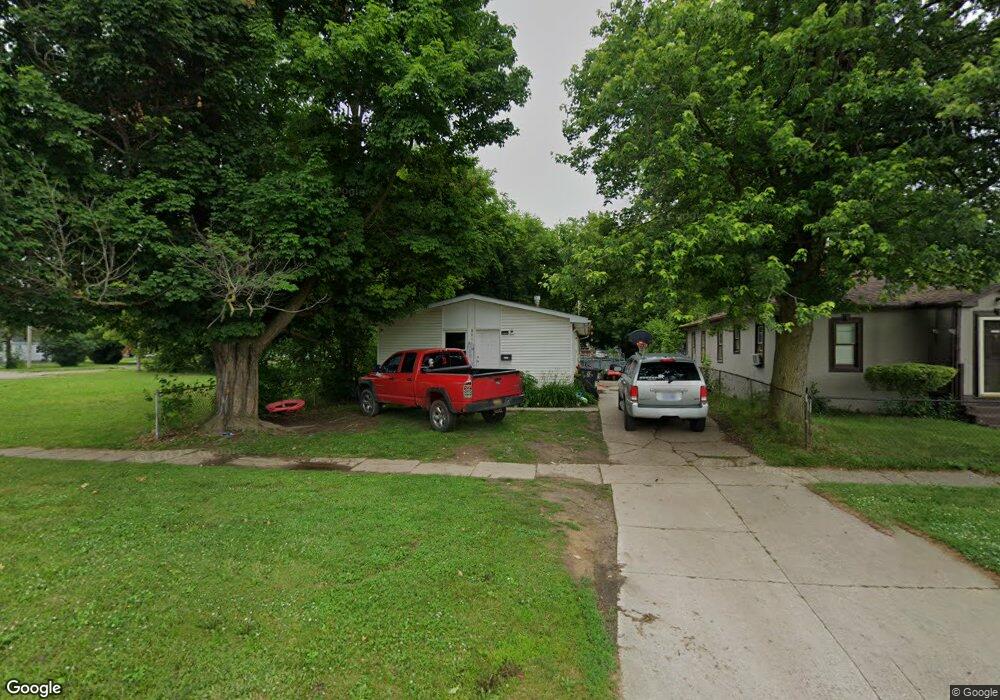
3011 Leith St Flint, MI 48506
Potter Longway NeighborhoodEstimated Value: $66,755 - $91,000
4
Beds
2
Baths
1,164
Sq Ft
$67/Sq Ft
Est. Value
About This Home
This home is located at 3011 Leith St, Flint, MI 48506 and is currently estimated at $77,939, approximately $66 per square foot. 3011 Leith St is a home located in Genesee County with nearby schools including Potter School, Richfield Public School Academy, and Richfield Early Learning Center.
Ownership History
Date
Name
Owned For
Owner Type
Purchase Details
Closed on
Jul 12, 2018
Sold by
Trent Rexall Lane and Trent Rhonda Kay
Bought by
Forshuman William
Current Estimated Value
Purchase Details
Closed on
Sep 21, 2017
Sold by
Riggs Jennifer and Genesee County Land Bank Autho
Bought by
Trent Rexall Lane and Trent Rhonda Kay
Purchase Details
Closed on
Dec 22, 2014
Sold by
Genesee County Treasurer
Bought by
Genesee County Land Bank
Purchase Details
Closed on
Feb 1, 2010
Sold by
Shue Nathan D and Shue Tammy
Bought by
Conley Roger
Purchase Details
Closed on
Aug 19, 2004
Sold by
Jackson Carol M
Bought by
Shue Nathan D and Shue Tammy
Create a Home Valuation Report for This Property
The Home Valuation Report is an in-depth analysis detailing your home's value as well as a comparison with similar homes in the area
Home Values in the Area
Average Home Value in this Area
Purchase History
| Date | Buyer | Sale Price | Title Company |
|---|---|---|---|
| Forshuman William | $6,500 | Fidelity National Title | |
| Trent Rexall Lane | $2,000 | None Available | |
| Genesee County Land Bank | -- | None Available | |
| Conley Roger | -- | None Available | |
| Shue Nathan D | $28,000 | -- |
Source: Public Records
Tax History
| Year | Tax Paid | Tax Assessment Tax Assessment Total Assessment is a certain percentage of the fair market value that is determined by local assessors to be the total taxable value of land and additions on the property. | Land | Improvement |
|---|---|---|---|---|
| 2025 | $1,437 | $31,800 | $0 | $0 |
| 2024 | $1,324 | $29,800 | $0 | $0 |
| 2023 | $1,289 | $22,600 | $0 | $0 |
| 2022 | $0 | $17,700 | $0 | $0 |
| 2021 | $1,310 | $16,800 | $0 | $0 |
| 2020 | $1,198 | $14,200 | $0 | $0 |
| 2019 | $1,189 | $14,300 | $0 | $0 |
| 2018 | $1,024 | $11,500 | $0 | $0 |
| 2017 | $0 | $0 | $0 | $0 |
| 2016 | $0 | $0 | $0 | $0 |
| 2015 | -- | $0 | $0 | $0 |
| 2014 | -- | $0 | $0 | $0 |
| 2012 | -- | $15,100 | $0 | $0 |
Source: Public Records
Map
Nearby Homes
- 3018 Dakota Ave
- 3010 Wyoming Ave
- 2719 Branch Rd
- 3118 Wyoming Ave
- 2701 Branch Rd
- 3210 Wyoming Ave
- 3006 Agree Ave
- 3314 Dakota Ave
- 3413 Dakota Ave
- 2426 Hoff St
- 3149 Whittier Ave
- 2217 Maryland Ave
- 2321 Levern St
- 2211 Torrance St
- 3602 Dakota Ave
- 2935 Richfield Rd
- 3213 Holly Ave
- 2506 Arlington Ave
- 2426 Broadway Blvd
- 2002 Branch Rd
Your Personal Tour Guide
Ask me questions while you tour the home.