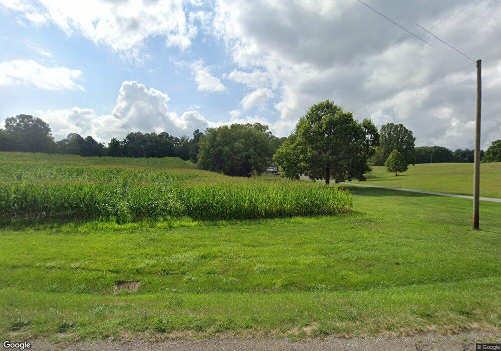
3011 Scio Rd SW Unit 10 Carrollton, OH 44615
Estimated Value: $276,000 - $530,000
3
Beds
3
Baths
2,374
Sq Ft
$152/Sq Ft
Est. Value
About This Home
This home is located at 3011 Scio Rd SW Unit 10, Carrollton, OH 44615 and is currently estimated at $360,549, approximately $151 per square foot. 3011 Scio Rd SW Unit 10 is a home located in Carroll County with nearby schools including Carrollton High School and Carroll County Christian Academy.
Ownership History
Date
Name
Owned For
Owner Type
Purchase Details
Closed on
Aug 16, 2022
Sold by
Folk Robert L and Folk Karyl L
Bought by
Folk Robert L and Folk Karyl L
Current Estimated Value
Create a Home Valuation Report for This Property
The Home Valuation Report is an in-depth analysis detailing your home's value as well as a comparison with similar homes in the area
Home Values in the Area
Average Home Value in this Area
Purchase History
| Date | Buyer | Sale Price | Title Company |
|---|---|---|---|
| Folk Robert L | -- | None Listed On Document |
Source: Public Records
Tax History Compared to Growth
Tax History
| Year | Tax Paid | Tax Assessment Tax Assessment Total Assessment is a certain percentage of the fair market value that is determined by local assessors to be the total taxable value of land and additions on the property. | Land | Improvement |
|---|---|---|---|---|
| 2024 | $1,626 | $58,530 | $14,700 | $43,830 |
| 2023 | $1,636 | $58,530 | $14,700 | $43,830 |
| 2022 | $1,639 | $59,460 | $14,700 | $44,760 |
| 2021 | $1,706 | $59,460 | $14,700 | $44,760 |
| 2020 | $1,619 | $59,460 | $14,700 | $44,760 |
| 2019 | $1,633 | $59,458 | $14,700 | $44,758 |
| 2018 | $1,521 | $54,630 | $13,020 | $41,610 |
| 2017 | $1,521 | $54,630 | $13,020 | $41,610 |
| 2016 | $1,273 | $49,730 | $11,900 | $37,830 |
| 2015 | $1,273 | $49,730 | $11,900 | $37,830 |
| 2014 | $1,250 | $46,590 | $11,900 | $34,690 |
| 2013 | $1,133 | $43,440 | $11,900 | $31,540 |
Source: Public Records
Map
Nearby Homes
- 2081 Antigua Rd SW Unit 17
- 1121 Center St SW
- 2245 Scroll Rd SW Unit 17
- 819 Courtview Dr SW Unit 81
- 5140 Pinto Rd SE
- 238 High St SW Unit 3A
- 2227 Elk Rd SW Unit 14A
- 144 Arrow Rd SW Unit 19
- 208 2nd St SW Unit 5
- 307 Lincoln Ave NW Unit 36
- 928 Overlook Ln NE
- 615 Longhorn St NW Unit 20B
- 0 Mayham Rd NE
- 1344 Meadowbrook Ln NE Unit 82
- 3145 Steubenville Rd SE Unit 16
- 10 S Ohio St
- 17 West St
- 424 Avalon Rd SW Unit 31
- 1188 Brenner Rd NE Unit 33A
- 6090 Revere Rd SW
- 2306 Empire Rd SW Unit 11
- 3025 Scio Rd SW Unit 3050
- 3025 Scio Rd SW
- 332 Scio Rd SW
- 3002 Scio Rd SW
- 3035 Scio Rd SW
- 2360 Scio Rd Sw Rd SW
- 3050 Scio Rd SW
- 3063 Scio Rd SW
- 3070 Scio Rd SW Unit 4
- 3110 Scio Rd SW Unit 3200
- 3131 Scio Rd SW Unit 4
- 204 Timberline Ln SW Unit 5B
- 3200 Scio Rd SW Unit 4
- 200 Timberline Ln SW Unit 5B
- 2200 Scio Rd SW
- 279 Timberline Ln SW
- 215 Timberline Ln SW Unit 5B
- 3064 Empire Rd SW
- 217 Timberline Ln SW Unit 5B
