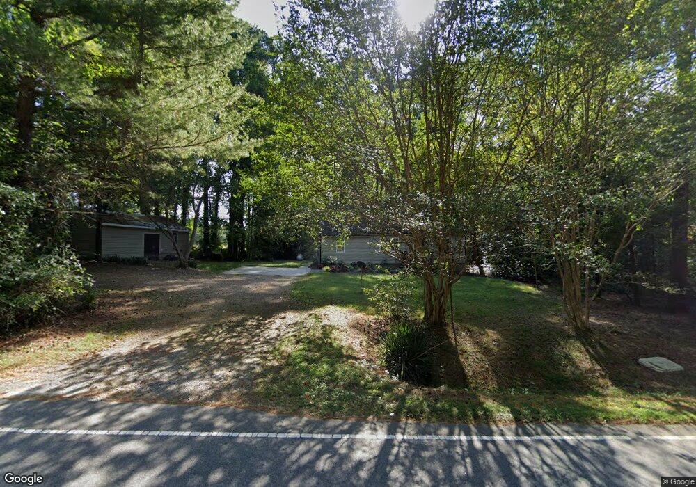
3011 Shady Grove Rd Durham, NC 27703
Eastern Durham NeighborhoodEstimated Value: $367,000 - $469,000
2
Beds
1
Bath
2,129
Sq Ft
$202/Sq Ft
Est. Value
About This Home
This home is located at 3011 Shady Grove Rd, Durham, NC 27703 and is currently estimated at $430,828, approximately $202 per square foot. 3011 Shady Grove Rd is a home located in Durham County with nearby schools including Spring Valley Elementary School, John W Neal Middle School, and Southern School of Energy & Sustainability.
Ownership History
Date
Name
Owned For
Owner Type
Purchase Details
Closed on
Jan 17, 2006
Sold by
Cooke Marie Ross and Estate Of Myrtle D Ross Dula
Bought by
Cooke Roger L and Cooke Marie R
Current Estimated Value
Home Financials for this Owner
Home Financials are based on the most recent Mortgage that was taken out on this home.
Original Mortgage
$320,000
Interest Rate
6.18%
Mortgage Type
New Conventional
Create a Home Valuation Report for This Property
The Home Valuation Report is an in-depth analysis detailing your home's value as well as a comparison with similar homes in the area
Home Values in the Area
Average Home Value in this Area
Purchase History
| Date | Buyer | Sale Price | Title Company |
|---|---|---|---|
| Cooke Roger L | -- | None Available |
Source: Public Records
Mortgage History
| Date | Status | Borrower | Loan Amount |
|---|---|---|---|
| Closed | Cooke Roger L | $320,000 |
Source: Public Records
Tax History Compared to Growth
Tax History
| Year | Tax Paid | Tax Assessment Tax Assessment Total Assessment is a certain percentage of the fair market value that is determined by local assessors to be the total taxable value of land and additions on the property. | Land | Improvement |
|---|---|---|---|---|
| 2025 | $2,648 | $379,659 | $165,375 | $214,284 |
| 2024 | $2,282 | $223,129 | $91,750 | $131,379 |
| 2023 | $2,203 | $223,129 | $91,750 | $131,379 |
| 2022 | $2,146 | $223,129 | $91,750 | $131,379 |
| 2021 | $1,957 | $223,129 | $91,750 | $131,379 |
| 2020 | $1,912 | $223,129 | $91,750 | $131,379 |
| 2019 | $1,890 | $223,129 | $91,750 | $131,379 |
| 2018 | $1,130 | $122,400 | $56,700 | $65,700 |
| 2017 | $1,093 | $122,400 | $56,700 | $65,700 |
| 2016 | $1,059 | $122,400 | $56,700 | $65,700 |
| 2015 | $900 | $82,463 | $28,845 | $53,618 |
| 2014 | $904 | $82,463 | $28,845 | $53,618 |
Source: Public Records
Map
Nearby Homes
- 7229 Terregles Dr
- 7224 Ladbrooke St
- 10132 Marleybone Dr
- 1823 Farm Pond Trail
- 3208 Shady Grove Rd
- 10112 Marleybone Dr
- 5519 Spindlewood Ct
- 7328 Caversham Way
- 7330 Caversham Way
- 10119 2nd Star Ct
- 12317 Aberdeen Chase Way
- 7125 Crested Iris Place
- Southampton Plan at Running Brook Townes
- Ashland Plan at Running Brook Townes
- Bristol Plan at Running Brook Townes
- 7403 Leesville Rd
- 2137 Curry Meadow Way
- 2125 Curry Meadow Way
- 11829 N Exeter Way
- 12018 Mcbride Dr
- 3119 Shady Grove Rd
- 3023 Shady Grove Rd
- 7412 Leesville Rd
- 7326 Leesville Rd
- 7411 Leesville Rd
- 7407 Leesville Rd
- 1906 Leesville Rd
- 7504 Leesville Rd
- 7325 Leesville Rd
- 3111 Shady Grove Rd
- 7310 Leesville Rd
- 12419 Tetons Ct
- 12415 Tetons Ct
- 7512 Leesville Rd
- 5520 Bennington Park Dr
- 12420 Tetons Ct
- 7252 Terregles Dr
- 12411 Tetons Ct
- 7254 Terregles Dr
- 7256 Terregles Dr