Estimated Value: $1,376,000 - $3,894,000
6
Beds
6
Baths
4,736
Sq Ft
$611/Sq Ft
Est. Value
About This Home
This home is located at 30110 S 587 Cir, Grove, OK 74344 and is currently estimated at $2,894,058, approximately $611 per square foot. 30110 S 587 Cir is a home with nearby schools including Grove Lower Elementary School, Grove Upper Elementary School, and Grove Middle School.
Ownership History
Date
Name
Owned For
Owner Type
Purchase Details
Closed on
Aug 9, 2022
Sold by
Rsw Irrevocable Trust
Bought by
Revocable Trust
Current Estimated Value
Purchase Details
Closed on
Feb 1, 2017
Sold by
Johnson Sharon L
Bought by
Gilliland Brian D and Gilliland Jennifer L
Home Financials for this Owner
Home Financials are based on the most recent Mortgage that was taken out on this home.
Original Mortgage
$352,000
Interest Rate
4.32%
Mortgage Type
New Conventional
Create a Home Valuation Report for This Property
The Home Valuation Report is an in-depth analysis detailing your home's value as well as a comparison with similar homes in the area
Home Values in the Area
Average Home Value in this Area
Purchase History
| Date | Buyer | Sale Price | Title Company |
|---|---|---|---|
| Revocable Trust | $3,500,000 | None Listed On Document | |
| Gilliland Brian D | $440,000 | Grand River Abstract & Title |
Source: Public Records
Mortgage History
| Date | Status | Borrower | Loan Amount |
|---|---|---|---|
| Previous Owner | Gilliland Brian D | $352,000 |
Source: Public Records
Tax History Compared to Growth
Tax History
| Year | Tax Paid | Tax Assessment Tax Assessment Total Assessment is a certain percentage of the fair market value that is determined by local assessors to be the total taxable value of land and additions on the property. | Land | Improvement |
|---|---|---|---|---|
| 2025 | $28,296 | $345,625 | $81,687 | $263,938 |
| 2024 | $28,296 | $345,625 | $81,687 | $263,938 |
| 2023 | $28,262 | $345,000 | $54,189 | $290,811 |
| 2022 | $12,229 | $151,921 | $54,074 | $97,847 |
| 2021 | $11,620 | $139,482 | $54,074 | $85,408 |
| 2020 | $11,869 | $140,091 | $54,074 | $86,017 |
| 2019 | $11,693 | $137,520 | $54,074 | $83,446 |
Source: Public Records
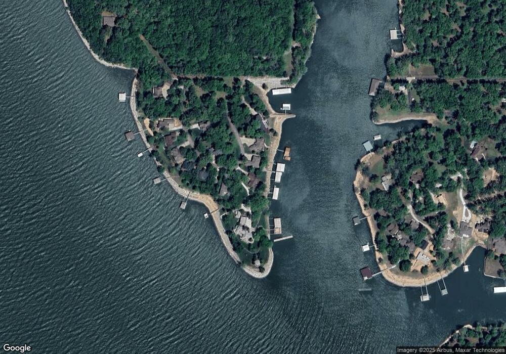
Map
Nearby Homes
- 29641 S 586 Ln
- 58551 E 296 Place
- TBD S 592 Place
- 29524 S 585 Ct
- TBD S 585 Ct
- 4451 W 20th Rd
- 6026 Lake Breeze Rd
- 29901 S 595 Rd
- 402 Fairway Cir
- 56901 E Walnut Dr
- 57450 E Highway 125 Unit 535
- Lot 103 S 567 Rd
- 29997 S 567 Rd
- 29997 S 567 Rd
- 0 57450 E 125 Hwy Unit #579
- 57450 E Hwy 125 Unit 533
- 57450 E Highway 125
- 57450 E Highway 125 Unit 540
- 31101 S 595 Trail
- 4926 Lost Cove Rd
- 30100 S 587 Cir
- 30040 S 587 Cir
- 30130 S 587 Cir
- 30030 S 587 Cir
- 30101 S 587 Cir
- 30101 S 587 Cir
- 30101 S 587 Cir
- 30138 S 587 Cir
- 30010 S 587 Cir
- 0 S 587 Cir
- 30020 S 587 Cir
- 30103 S 587 Cir
- 30150 S 587 Cir
- 30176 S 587 Cir
- 58881 E 301 Ln
- 58891 E 301 Ln
- 58910 E 301 Ln
- 36800 E 300 Rd
- 58871 E 301 Ln
- 58901 E 301 Ln