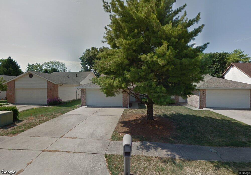
3012 Cameron Dr Springfield, IL 62704
Koke Mill East NeighborhoodEstimated Value: $188,556 - $969,000
2
Beds
2
Baths
--
Sq Ft
10,890
Sq Ft Lot
About This Home
This home is located at 3012 Cameron Dr, Springfield, IL 62704 and is currently estimated at $393,139. 3012 Cameron Dr is a home located in Sangamon County with nearby schools including Lindsay School, Benjamin Franklin Middle School, and Springfield High School.
Ownership History
Date
Name
Owned For
Owner Type
Purchase Details
Closed on
Aug 27, 2021
Sold by
Patterson Michael T
Bought by
Freedom Equity Properties Inc
Current Estimated Value
Home Financials for this Owner
Home Financials are based on the most recent Mortgage that was taken out on this home.
Original Mortgage
$114,000
Outstanding Balance
$95,936
Interest Rate
3.25%
Mortgage Type
New Conventional
Estimated Equity
$297,203
Purchase Details
Closed on
Feb 11, 2015
Purchase Details
Closed on
Dec 19, 2013
Create a Home Valuation Report for This Property
The Home Valuation Report is an in-depth analysis detailing your home's value as well as a comparison with similar homes in the area
Home Values in the Area
Average Home Value in this Area
Purchase History
| Date | Buyer | Sale Price | Title Company |
|---|---|---|---|
| Freedom Equity Properties Inc | $152,000 | Cornerstone Title | |
| -- | $110,000 | -- | |
| -- | $115,000 | -- |
Source: Public Records
Mortgage History
| Date | Status | Borrower | Loan Amount |
|---|---|---|---|
| Open | Freedom Equity Properties Inc | $114,000 |
Source: Public Records
Tax History
| Year | Tax Paid | Tax Assessment Tax Assessment Total Assessment is a certain percentage of the fair market value that is determined by local assessors to be the total taxable value of land and additions on the property. | Land | Improvement |
|---|---|---|---|---|
| 2024 | $4,192 | $49,912 | $9,065 | $40,847 |
| 2023 | $4,031 | $45,590 | $8,280 | $37,310 |
| 2022 | $3,848 | $42,940 | $7,854 | $35,086 |
| 2021 | $3,720 | $41,332 | $7,560 | $33,772 |
| 2020 | $3,646 | $41,394 | $7,571 | $33,823 |
| 2019 | $3,579 | $41,250 | $7,545 | $33,705 |
| 2018 | $3,418 | $40,452 | $7,508 | $32,944 |
| 2017 | $3,347 | $39,929 | $7,411 | $32,518 |
| 2016 | $3,281 | $39,347 | $7,303 | $32,044 |
| 2015 | $2,748 | $38,877 | $7,216 | $31,661 |
| 2014 | $2,660 | $38,626 | $7,169 | $31,457 |
| 2013 | $3,069 | $38,094 | $7,169 | $30,925 |
Source: Public Records
Map
Nearby Homes
- 2944 Rainier Dr
- 2341 W White Oaks Dr
- 3120 Cascade Dr
- 2212 Checkerberry Ln
- 3609 W Iles Ave
- 3504 Ginger Creek Dr
- 3513 Crystal Lake Dr
- 2505 Wydown Ave
- 2709 Clifton Dr
- 3500 Sandwood Dr
- 21 Drawbridge Rd
- 2216 Charlack Ave
- 2315 Connie Dr
- 3050 W Iles Ave
- 1719 Ambleside Dr
- 1717 Ambleside Dr
- 2104 Dubsdread Dr
- 2234 Warson Rd
- 51 Squires Rd
- 1703 Ambleside Dr
- 3010 Cameron Dr
- 3014 Cameron Dr
- 3008 Cameron Dr
- 3016 Cameron Dr
- 3011 Cameron Dr
- 3015 Cameron Dr Unit 2
- 3017 Cameron Dr
- 3009 Cameron Dr
- 3019 Cameron Dr
- 2700 S Chase Dr
- 2612 S Chase Dr
- 3013 Cameron Dr
- 3018 Cameron Dr
- 2702 S Chase Dr
- 2625 W White Oaks Dr Unit 3
- 2625 W White Oaks Dr Unit North
- 2625 W White Oaks Dr Unit South
- 2625 W White Oaks Dr
- 2625 W White Oaks Dr
- 2625 W White Oaks Dr
Your Personal Tour Guide
Ask me questions while you tour the home.