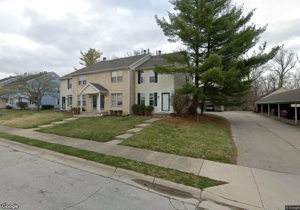
3012 Colony Ln Springfield, OH 45503
Estimated Value: $140,892 - $160,000
2
Beds
2
Baths
1,286
Sq Ft
$114/Sq Ft
Est. Value
About This Home
This home is located at 3012 Colony Ln, Springfield, OH 45503 and is currently estimated at $145,973, approximately $113 per square foot. 3012 Colony Ln is a home located in Clark County with nearby schools including Northridge Elementary School, Kenton Ridge Middle & High School, and Emmanuel Christian Academy.
Ownership History
Date
Name
Owned For
Owner Type
Purchase Details
Closed on
Oct 4, 2013
Sold by
Secretary Of Hud
Bought by
Tschida Investments Llc
Current Estimated Value
Purchase Details
Closed on
Jul 3, 2013
Sold by
Federal National Mortgage Association
Bought by
Secretary Of Hud
Purchase Details
Closed on
Apr 15, 2013
Sold by
Belle Claret M and Wells Fargo Bank Na
Bought by
Federal National Mortgage Association
Purchase Details
Closed on
Dec 18, 1991
Create a Home Valuation Report for This Property
The Home Valuation Report is an in-depth analysis detailing your home's value as well as a comparison with similar homes in the area
Home Values in the Area
Average Home Value in this Area
Purchase History
| Date | Buyer | Sale Price | Title Company |
|---|---|---|---|
| Tschida Investments Llc | $35,000 | Lakeside Title & Escrow | |
| Secretary Of Hud | -- | None Available | |
| Federal National Mortgage Association | $32,000 | None Available | |
| -- | -- | -- |
Source: Public Records
Tax History
| Year | Tax Paid | Tax Assessment Tax Assessment Total Assessment is a certain percentage of the fair market value that is determined by local assessors to be the total taxable value of land and additions on the property. | Land | Improvement |
|---|---|---|---|---|
| 2025 | $1,449 | $40,410 | $5,640 | $34,770 |
| 2024 | $1,401 | $33,420 | $5,150 | $28,270 |
| 2023 | $1,401 | $33,420 | $5,150 | $28,270 |
| 2022 | $1,406 | $33,420 | $5,150 | $28,270 |
| 2021 | $1,286 | $26,210 | $4,030 | $22,180 |
| 2020 | $1,287 | $26,210 | $4,030 | $22,180 |
| 2019 | $1,313 | $26,210 | $4,030 | $22,180 |
| 2018 | $1,311 | $25,300 | $5,250 | $20,050 |
| 2017 | $1,120 | $25,298 | $5,250 | $20,048 |
| 2016 | $1,111 | $25,298 | $5,250 | $20,048 |
| 2015 | $1,118 | $25,298 | $5,250 | $20,048 |
| 2014 | $1,118 | $25,298 | $5,250 | $20,048 |
| 2013 | $1,282 | $25,298 | $5,250 | $20,048 |
Source: Public Records
Map
Nearby Homes
- 1039 Bradford Dr Unit 42
- 3052 Brixton Dr E
- 1139 Bradford Dr
- 1136 Foxboro Rd Unit 202
- 2022 Westboro Ave
- 1525 Providence Ave
- 3214 Revels St
- 2943 Tarryton Ln
- 1404 Attleboro Ave
- 1922 Wedgewood Cir
- 3124 El Camino Dr
- 3631 Kingsgate Ln
- 1507 Kingsgate Rd
- 1500 Kingsgate Rd Unit 19430
- 1502 Kingsgate Rd Unit 19432
- 1500 Kingsgate Rd
- 1502 Kingsgate Rd
- 1505 Kingsgate Rd
- 1503 Kingsgate Rd
- 3135 Imperial Blvd
- 3014 Colony Ln
- 3016 Colony Ln Unit 3016
- 3018 Colony Ln Unit 3018
- 1318 Villa Rd
- 3022 Colony Ln
- 1320 Villa Rd
- 1322 Villa Rd
- 1324 Villa Rd
- 3024 Colony Ln
- 1326 Villa Rd
- 3013 Colony Ln Unit D
- 3013 Colony Ln
- 3015 Colony Ln
- 3026 Colony Ln
- 3017 Colony Ln
- 3019 Colony Ln
- 3019 Colony Ln Unit A
- 3028 Colony Ln
- 1496 Villa Rd
- 1308 Villa Rd
Your Personal Tour Guide
Ask me questions while you tour the home.