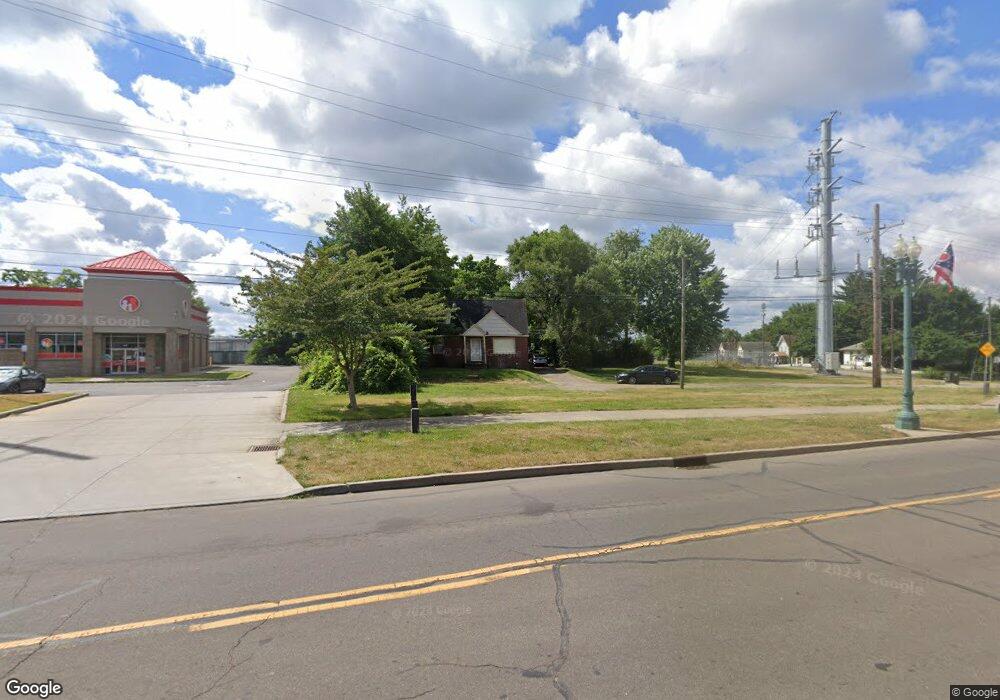
3012 Mahoning Rd NE Canton, OH 44705
Fairmount NeighborhoodEstimated Value: $79,663 - $127,000
4
Beds
2
Baths
1,456
Sq Ft
$71/Sq Ft
Est. Value
About This Home
This home is located at 3012 Mahoning Rd NE, Canton, OH 44705 and is currently estimated at $103,666, approximately $71 per square foot. 3012 Mahoning Rd NE is a home located in Stark County with nearby schools including Belle Stone Elementary School, Early Learning Center @ Schreiber, and Youtz Intermediate School.
Ownership History
Date
Name
Owned For
Owner Type
Purchase Details
Closed on
Mar 27, 2009
Sold by
Citifinancial Inc
Bought by
Vinson Michelle
Current Estimated Value
Purchase Details
Closed on
Oct 27, 2008
Sold by
Brown Tiffeny L and Brown Alonzo B
Bought by
Citifinancial Inc
Purchase Details
Closed on
Jan 1, 2003
Sold by
Brown Tiffeny L
Bought by
Brown Tiffeny L and Brown Alonzo B
Purchase Details
Closed on
May 18, 2001
Sold by
Estate Of Violet L Brown
Bought by
Brown Tiffeny L
Create a Home Valuation Report for This Property
The Home Valuation Report is an in-depth analysis detailing your home's value as well as a comparison with similar homes in the area
Home Values in the Area
Average Home Value in this Area
Purchase History
| Date | Buyer | Sale Price | Title Company |
|---|---|---|---|
| Vinson Michelle | $7,000 | Chicago Title | |
| Citifinancial Inc | $28,000 | None Available | |
| Brown Tiffeny L | -- | -- | |
| Brown Tiffeny L | -- | -- |
Source: Public Records
Tax History Compared to Growth
Tax History
| Year | Tax Paid | Tax Assessment Tax Assessment Total Assessment is a certain percentage of the fair market value that is determined by local assessors to be the total taxable value of land and additions on the property. | Land | Improvement |
|---|---|---|---|---|
| 2025 | $416 | $8,340 | $2,910 | $5,430 |
| 2024 | $492 | $8,340 | $2,910 | $5,430 |
| 2023 | $692 | $6,720 | $1,260 | $5,460 |
| 2022 | $199 | $6,720 | $1,260 | $5,460 |
| 2021 | $402 | $6,720 | $1,260 | $5,460 |
| 2020 | $385 | $5,750 | $1,090 | $4,660 |
| 2019 | $337 | $5,750 | $1,090 | $4,660 |
| 2018 | $339 | $5,750 | $1,090 | $4,660 |
| 2017 | $342 | $5,190 | $1,020 | $4,170 |
| 2016 | $358 | $3,510 | $1,020 | $2,490 |
| 2015 | $231 | $3,510 | $1,020 | $2,490 |
| 2014 | $231 | $3,300 | $950 | $2,350 |
| 2013 | $109 | $3,300 | $950 | $2,350 |
Source: Public Records
Map
Nearby Homes
- 2715 19th St NE
- 1710 Harmont Ave NE
- 1821 Wallace Ave NE
- 2611 Indiana Way NE
- 1909 Gridley Ave NE
- 3106 22nd St NE
- 2526 17th St NE
- 2310 Willowrow Ave NE
- 3421 Mahoning Rd NE
- 1636 Superior Ave NE
- 1742 Taft Ave NE
- 2400 Winfield Way NE
- 2323 15th St NE
- 2319 Daleford Ave NE
- 2329 Winfield Way NE
- 2216 17th St NE
- 2211 17th St NE
- 1457 Edwards Ave NE
- 2602 Baldwin Ave NE
- 2314 24th St NE
- 1656 Wayne Ave NE
- 1652 Wayne Ave NE
- 2932 Mahoning Rd NE
- 3048 Mahoning Rd NE
- 2912 Mahoning Rd NE
- 1631 Wayne Ave NE
- 1616 Wayne Ave NE
- 1617 Wayne Ave NE
- 1617 Wayne Ave NE
- 1612 Wayne Ave NE
- 1620 Wooster Ave NE
- 1606 Wayne Ave NE
- 1611 Wayne Ave NE
- 1616 Wooster Ave NE
- 1602 Wayne Ave NE
- 1605 Wayne Ave NE
- 1608 Wooster Ave NE
- 2822 Mahoning Rd NE
- 1604 Wooster Ave NE
- 1549 Wayne Ave NE