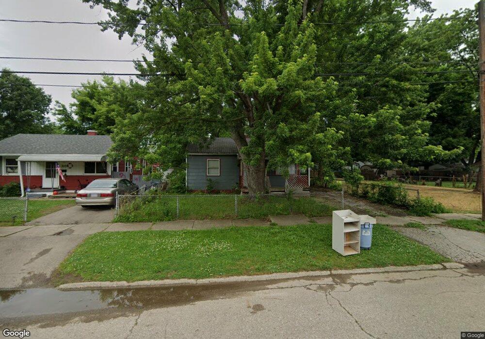
3013 Thom St Flint, MI 48506
Potter Longway NeighborhoodEstimated Value: $44,000 - $57,000
2
Beds
1
Bath
740
Sq Ft
$67/Sq Ft
Est. Value
About This Home
This home is located at 3013 Thom St, Flint, MI 48506 and is currently estimated at $49,852, approximately $67 per square foot. 3013 Thom St is a home located in Genesee County with nearby schools including Potter School, Richfield Public School Academy, and Richfield Early Learning Center.
Ownership History
Date
Name
Owned For
Owner Type
Purchase Details
Closed on
Apr 28, 2008
Sold by
Sfjv 2005 Llc
Bought by
Allen John and Allen Mildred
Current Estimated Value
Purchase Details
Closed on
Jul 26, 2006
Sold by
Dunsmore Randy S
Bought by
Sfjv 2005 Llc
Purchase Details
Closed on
Jul 31, 2003
Sold by
Dunsmore Julie A and Hurst Julie A
Bought by
Dunsmore Randy S
Home Financials for this Owner
Home Financials are based on the most recent Mortgage that was taken out on this home.
Original Mortgage
$35,533
Interest Rate
5.62%
Mortgage Type
FHA
Create a Home Valuation Report for This Property
The Home Valuation Report is an in-depth analysis detailing your home's value as well as a comparison with similar homes in the area
Home Values in the Area
Average Home Value in this Area
Purchase History
| Date | Buyer | Sale Price | Title Company |
|---|---|---|---|
| Allen John | $6,000 | Rels Title | |
| Sfjv 2005 Llc | $15,300 | None Available | |
| Dunsmore Randy S | $36,000 | Lawyers Title Ins Corp |
Source: Public Records
Mortgage History
| Date | Status | Borrower | Loan Amount |
|---|---|---|---|
| Previous Owner | Dunsmore Randy S | $35,533 |
Source: Public Records
Tax History
| Year | Tax Paid | Tax Assessment Tax Assessment Total Assessment is a certain percentage of the fair market value that is determined by local assessors to be the total taxable value of land and additions on the property. | Land | Improvement |
|---|---|---|---|---|
| 2025 | $861 | $20,200 | $0 | $0 |
| 2024 | $804 | $17,000 | $0 | $0 |
| 2023 | $791 | $14,100 | $0 | $0 |
| 2022 | $0 | $11,700 | $0 | $0 |
| 2021 | $798 | $11,200 | $0 | $0 |
| 2020 | $741 | $9,100 | $0 | $0 |
| 2019 | $729 | $8,100 | $0 | $0 |
| 2018 | $704 | $7,300 | $0 | $0 |
| 2017 | $688 | $0 | $0 | $0 |
| 2016 | $684 | $0 | $0 | $0 |
| 2015 | -- | $0 | $0 | $0 |
| 2014 | -- | $0 | $0 | $0 |
| 2012 | -- | $9,100 | $0 | $0 |
Source: Public Records
Map
Nearby Homes
- 3010 Wyoming Ave
- 3118 Wyoming Ave
- 3018 Dakota Ave
- 2719 Branch Rd
- 3210 Wyoming Ave
- 3006 Agree Ave
- 3314 Dakota Ave
- 3413 Dakota Ave
- 2426 Hoff St
- 3149 Whittier Ave
- 2935 Richfield Rd
- 3602 Dakota Ave
- 2217 Maryland Ave
- 4127 Coggins Ave
- 2321 Levern St
- 2211 Torrance St
- 00 Richfield Rd
- 3205 Holly Ave
- 3213 Holly Ave
- 3229 Holly Ave
Your Personal Tour Guide
Ask me questions while you tour the home.