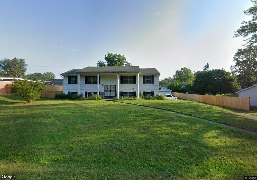
3013 W Westport Rd Peoria, IL 61615
North Peoria NeighborhoodEstimated Value: $160,000 - $193,000
2
Beds
2
Baths
1,456
Sq Ft
$125/Sq Ft
Est. Value
About This Home
This home is located at 3013 W Westport Rd, Peoria, IL 61615 and is currently estimated at $182,246, approximately $125 per square foot. 3013 W Westport Rd is a home with nearby schools including Dr Maude A Sanders Primary School, Sterling Middle School, and Peoria High School.
Ownership History
Date
Name
Owned For
Owner Type
Purchase Details
Closed on
Jun 16, 2025
Sold by
Ghantous Elza C
Bought by
Ghantous Elias C
Current Estimated Value
Create a Home Valuation Report for This Property
The Home Valuation Report is an in-depth analysis detailing your home's value as well as a comparison with similar homes in the area
Home Values in the Area
Average Home Value in this Area
Purchase History
| Date | Buyer | Sale Price | Title Company |
|---|---|---|---|
| Ghantous Elias C | -- | None Listed On Document |
Source: Public Records
Tax History Compared to Growth
Tax History
| Year | Tax Paid | Tax Assessment Tax Assessment Total Assessment is a certain percentage of the fair market value that is determined by local assessors to be the total taxable value of land and additions on the property. | Land | Improvement |
|---|---|---|---|---|
| 2024 | $4,220 | $52,660 | $5,530 | $47,130 |
| 2023 | $3,981 | $48,310 | $5,070 | $43,240 |
| 2022 | $3,827 | $45,670 | $4,820 | $40,850 |
| 2021 | $3,727 | $43,490 | $4,590 | $38,900 |
| 2020 | $3,712 | $43,050 | $4,540 | $38,510 |
| 2019 | $3,956 | $45,710 | $4,630 | $41,080 |
| 2018 | $4,256 | $49,700 | $4,670 | $45,030 |
| 2017 | $4,261 | $50,200 | $4,720 | $45,480 |
| 2016 | $4,132 | $50,200 | $4,720 | $45,480 |
| 2015 | $3,846 | $49,220 | $4,630 | $44,590 |
| 2014 | $4,399 | $47,780 | $4,600 | $43,180 |
| 2013 | -- | $48,360 | $4,660 | $43,700 |
Source: Public Records
Map
Nearby Homes
- 2922 W Larchmont Ln
- 2910 W Westport Rd
- 4036 N Westport Ct
- 3808 N Walround Ln
- 3010 W Brookside Dr
- 3347 W Saymore Ln
- 3250 W Westport Rd
- 4412 NE Scenic Dr
- 2705 W Millbrook Ct
- 4011 N Sterling Ave
- 3352 W Lexington Ct
- 4426 N Wilco Dr
- 2724 W Scenic Dr
- 3623 N Sterling Ave Unit b-17
- 3563 W Saymore Ln
- 4416 N Carola Ct
- 2627 Eugenie Ave
- 3423 N El Vista Ave
- 3720 N Saint Michael Ave
- 3516 W Richwoods Blvd Unit 10
- 3005 W Westport Rd
- 3002 W Larchmont Ln
- 3021 W Westport Rd
- 3008 W Larchmont Ln
- 3010 W Westport Rd
- 3016 W Westport Rd
- 2917 W Westport Rd
- 3004 W Westport Rd
- 3014 W Larchmont Ln
- 3022 W Westport Rd
- 3027 W Westport Rd
- 2918 W Larchmont Ln
- 3026 W Westport Rd
- 2914 W Larchmont Ln
- 2918 W Westport Rd
- 3033 W Westport Rd
- 3007 W Romany Ct
- 3011 W Romany Ct
- 3026 W Larchmont Ln