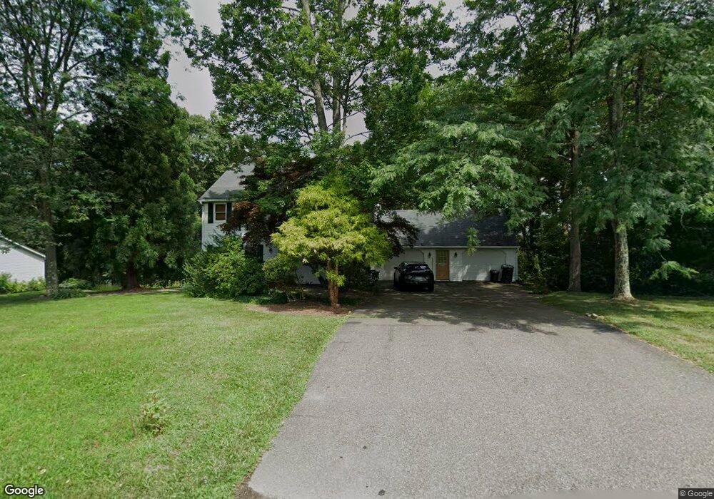
3013 Woods Edge Dr Bloomsburg, PA 17815
Estimated Value: $317,013 - $438,000
--
Bed
--
Bath
2,016
Sq Ft
$194/Sq Ft
Est. Value
About This Home
This home is located at 3013 Woods Edge Dr, Bloomsburg, PA 17815 and is currently estimated at $391,503, approximately $194 per square foot. 3013 Woods Edge Dr is a home located in Columbia County with nearby schools including Central Columbia Elementary School, Central Columbia Middle School, and Central Columbia Senior High School.
Ownership History
Date
Name
Owned For
Owner Type
Purchase Details
Closed on
Mar 4, 2008
Sold by
Swanson Christopher C and Swanson Diane J
Bought by
Podeschi Christopher W and Vitko Carrie
Current Estimated Value
Home Financials for this Owner
Home Financials are based on the most recent Mortgage that was taken out on this home.
Original Mortgage
$242,000
Outstanding Balance
$150,924
Interest Rate
5.76%
Mortgage Type
Purchase Money Mortgage
Estimated Equity
$240,579
Create a Home Valuation Report for This Property
The Home Valuation Report is an in-depth analysis detailing your home's value as well as a comparison with similar homes in the area
Home Values in the Area
Average Home Value in this Area
Purchase History
| Date | Buyer | Sale Price | Title Company |
|---|---|---|---|
| Podeschi Christopher W | $242,000 | None Available |
Source: Public Records
Mortgage History
| Date | Status | Borrower | Loan Amount |
|---|---|---|---|
| Open | Podeschi Christopher W | $242,000 |
Source: Public Records
Tax History Compared to Growth
Tax History
| Year | Tax Paid | Tax Assessment Tax Assessment Total Assessment is a certain percentage of the fair market value that is determined by local assessors to be the total taxable value of land and additions on the property. | Land | Improvement |
|---|---|---|---|---|
| 2025 | $4,921 | $69,193 | $0 | $0 |
| 2024 | $4,733 | $69,193 | $16,385 | $52,808 |
| 2023 | $4,491 | $69,193 | $16,385 | $52,808 |
| 2022 | $4,214 | $69,193 | $16,385 | $52,808 |
| 2021 | $4,214 | $69,193 | $16,385 | $52,808 |
| 2020 | $4,064 | $69,193 | $16,385 | $52,808 |
| 2019 | $3,978 | $69,193 | $16,385 | $52,808 |
| 2018 | $3,978 | $69,193 | $16,385 | $52,808 |
| 2017 | $3,926 | $69,193 | $16,385 | $52,808 |
| 2016 | -- | $69,193 | $16,385 | $52,808 |
| 2015 | -- | $69,193 | $16,385 | $52,808 |
| 2014 | -- | $69,193 | $16,385 | $52,808 |
Source: Public Records
Map
Nearby Homes
- 384 Country Ln W
- 139 Rotary St
- 135 Ash St
- 107 E Pebble Ln
- 1308 Grandview Rd
- 34 Fowlersville Rd
- 14 Fowlersville Rd
- 56 Whitmire Rd
- 410 Main St
- 407 Main St
- 0 Beilys Rd
- 238 Horse Farm Rd
- LOT #3 Sawmill Rd
- 0 Alliance Park Dr
- 0 Alliance Park Lot 6 Dr
- 53 Fox Hollow Rd
- LOT 29 Carol Dr
- 2403 John Penn Cir
- 9 Crestmont Cir
- 34 Kara Ln
- 3037 Woods Edge Dr
- 3011 Woods Edge Dr
- 30153039 Woods Edge Dr
- 3008 Woods Edge Dr
- 3010 Woods Edge Dr
- 3017 Woods Edge Dr
- 3009 Woods Edge Dr
- 3006 Woods Edge Dr
- 3012 Woods Edge Dr
- 3007 Woods Edge Dr
- 3019 Woods Edge Dr
- 3014 Circle Dr
- 3012 Circle Dr
- 3004 Woods Edge Dr
- 3005 Woods Edge Dr
- 3014 Woods Edge Dr
- 3003 Woods Edge Dr
- 3021 Woods Edge Dr
- 3010 Circle Dr
- 3013 Circle Dr